Opis
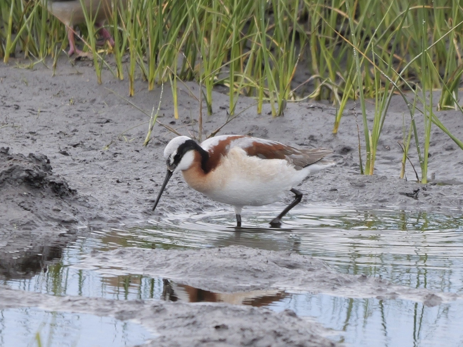
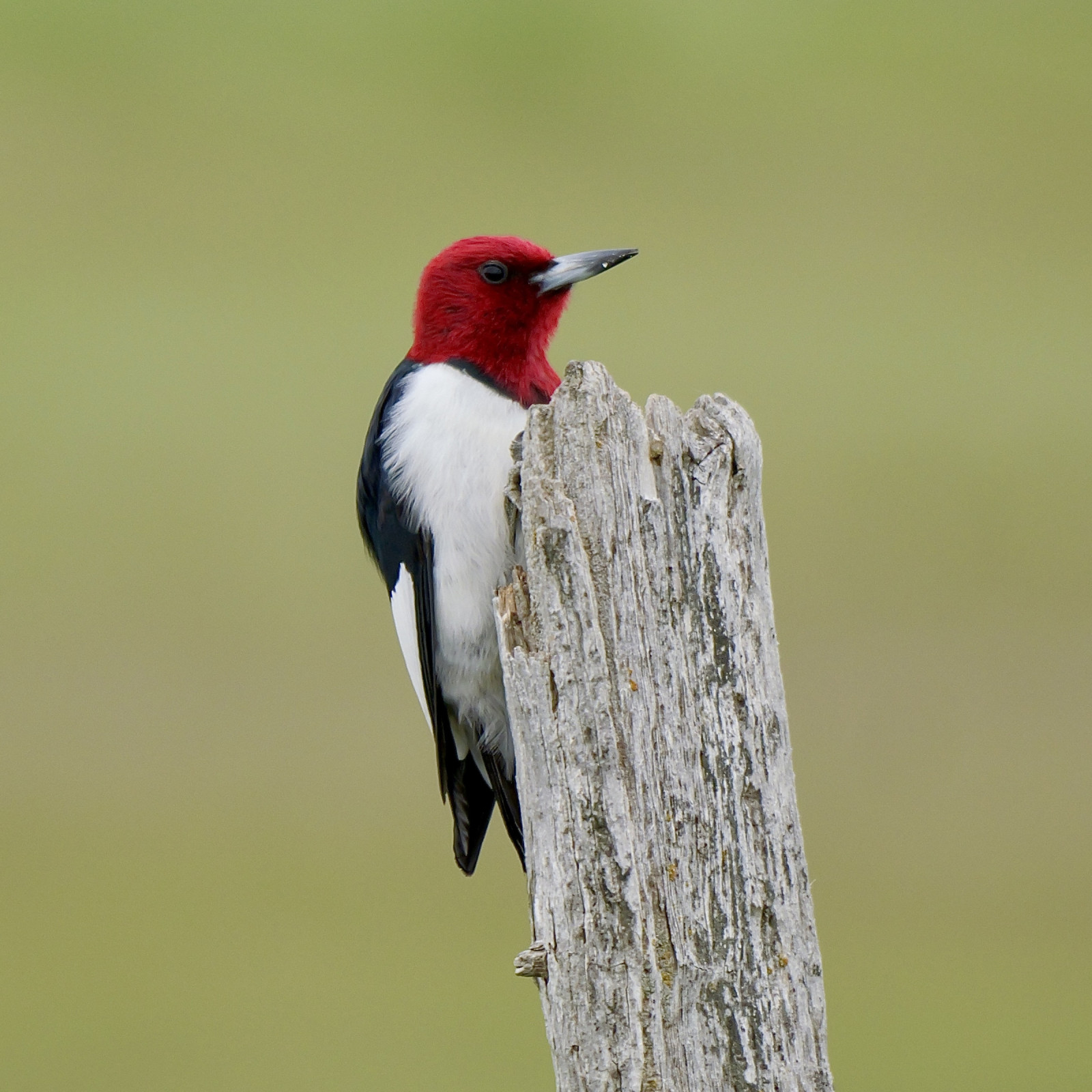
The Manitoba Grasslands Birding Trail is an opportunity to experience remnants of the once great grasslands. It is a photographer’s paradise – rare birds and wildlife, grassland flowers and huge prairie skies. It is a great area (with many birding spots) to explore - driving and walking around, looking for breeding grassland species - such as pipits, grouse, sparrows and shorebirds.
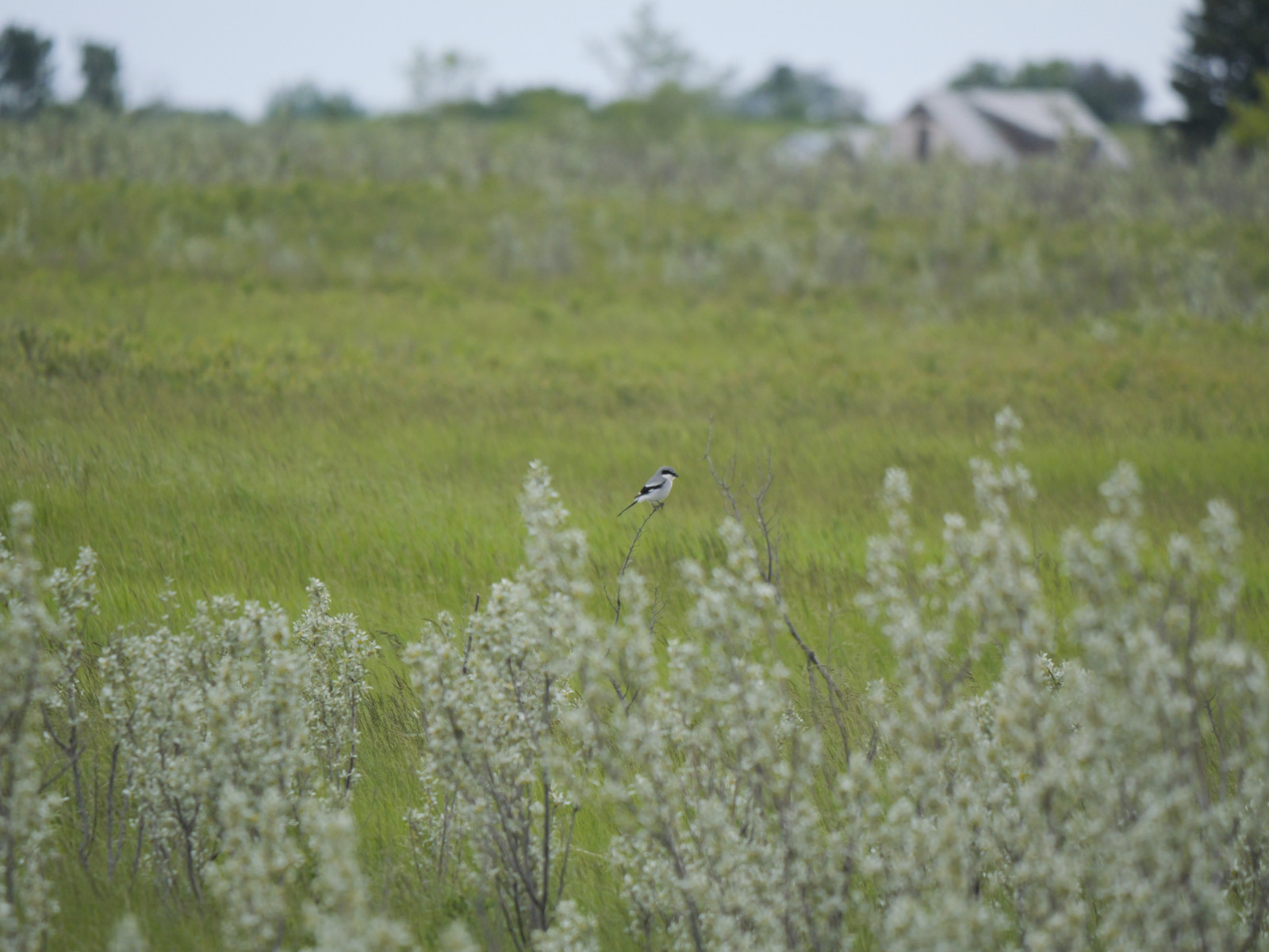
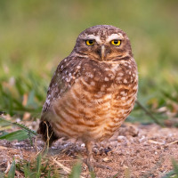
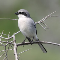
Among the birds you can encounter are Burrowing Owl, Chestnut-collared Longspur, Baird's Sparrow, Loggerhead Shrike, Ferruginous Hawk, Sprague's Pipit and more.
Szczegóły
Dostęp
There is a Northern Route and a Southern Route to explore the area. A two-day visit is recommended, but three days is even better. There are many hotels in Brandon, which can be a decent base for exploring the area. Less choice but more centrally located is Melita. You will need a car, and expect a few windy days.
The Northern Route of the Manitoba Grasslands Birding Trail takes you from the Gerald W. Malaher WMA up to the Broomhill WMA, over to the old town of Broomhill, down to the Mixed-grass Prairie Preserve and through the Poverty Plains. Total driving distance 53 kilometres or 33 miles.
The Southern Route has a total driving distance of 150 kilometres or 93 miles. There are plenty of different grassland habitats to explore along the way. You begin at the Gerald W. Malaher WMA just west of Melita, head southwest to Pierson through an expanse of native prairie, to Lyleton, on to the ravine at Gainsborough Creek, into the Souris Valley and back along ‘The Peninsula’ to Melita.


 ) aby wstawić nazwy ptaków w swoim języku ojczystym. Nazwy ptaków zostaną automatycznie przetłumaczone dla innych użytkowników!