Opis
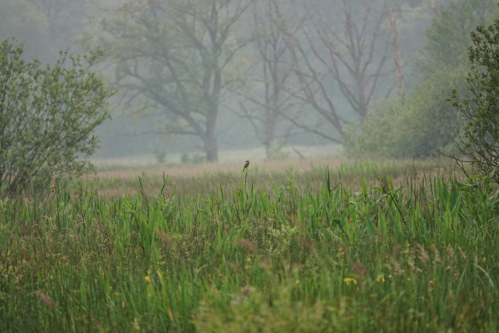
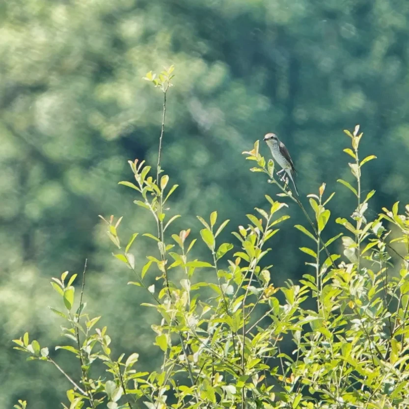
The Zwarte Beek Valley, with its 1407 hectares, is one of the largest nature reserves in Flanders. Start at the De Watersnip visitor centre and follow the 7 km red route. Beautiful walk along and through various biotopes of this Natura 2000 area: vast heath, forest, peat. Chance of seeing nice species! Since 2021, a pair of żuraw has been breeding here. Other birds that have been seen here include bocian czarny, gąsiorek, gadożer and dzięcioł czarny.
_________________________
Nederlands: De Vallei van de Zwarte Beek is met zijn 1407 hectare een van de grootste natuurgebieden in Vlaanderen. Vertrek aan het bezoekerscentrum De Watersnip en volg de rode route van 7 km. De route leidt je langs de heide en via vlonderpaden door het veen. Prachtige wandeling langs en door verschillende biotopen van dit Natura 2000 gebied: uitgestrekte heide, bos, veen. Kans op leuke soorten! Sinds 2021 broedt er een koppel żuraw. Andere vogels hier zijn gezien zijn onder meer bocian czarny, gąsiorek, gadożer en dzięcioł czarny. Let op: deze route is alleen toegankelijk in het weekend en op feestdagen.
Szczegóły
Dostęp
Departure and parking at visitor centre De Watersnip (Grauwe Steenstraat 3582, Beringen). Press P on the map for directions to the car park. Follow the red walking route (approximately 7 km). When the nearby playground is open, a lookout tower is also accessible with a view over the entire valley. Please note that the route partly runs over military domain and is therefore only accessible on weekends and public holidays. In very wet periods, some paths may be flooded. In any case, waterproof footwear is recommended for this walk.
_________________________
Nederlands: Vertrek en parking bij bezoekerscentrum De Watersnip: Grauwe Steenstraat, 3582 Beringen. Druk op P in de kaart voor een routebschrijving naar de parkeerplaats. Volg de rode wandelroute (ongeveer 7 km). Wanneer de nabijgelegen speeltuin open is, is ook een uitkijktoren toegankelijk met overzicht over de ganse vallei. Opgelet, de route loopt deels over militair domein en is daarom enkel in het weekend en op feestdagen toegankelijk. In zeer natte periodes kunnen sommige paden onder water staan. Sowieso is waterdicht schoeisel aan te raden tijdens deze wandeling.
Teren i siedlisko
Las , Rzadkie drzewa i krzewy , WrzosowiskoWarunki
Płaski , Ślisko , BagiennyTrasa dookoła
TakCzy luneta będzie przydatna ?
TakUdany sezon obserwacyjny
Przez cały rokNajlepszy czas na wizytę
WiosnaTrasa
Droga utwardzona , Droga nieutwardzona , Wąski szlak , Szeroka ścieżkaPoziom trudności szlaku pieszego
ŁatwyDostępne
PieszoCzatownia/platforma obserwacyjna
TakLinki
- Recent bird sightings in the area on Waarnemingen.be
- Natuurpunt.be/natuurgebieden/vallei-van-de-zwarte-beek-beringen


 ) aby wstawić nazwy ptaków w swoim języku ojczystym. Nazwy ptaków zostaną automatycznie przetłumaczone dla innych użytkowników!