

Opis
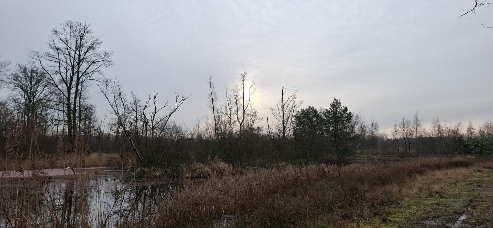
Mosselgoren is a mosaic of deciduous forests and alder marsh forests, reed beds, moist meadows and pools. The various streams point to the origin of the area, because Mosselgoren belonged to the flood plain of the Kleine Nete. In 2022, work will be carried out on a new wetland area to be built. Birds that you may see in the area include gęgawa, myszołów, jastrząb, trzcinniczek (zwyczajny), potrzos, kukułka, słowik rdzawy, podróżniczek and czapla biała. Also fox and roe deer live in the area.
_________________________
Nederlands: Mosselgoren is een mozaïek van loofbossen en elzenbroekbossen, rietlanden, vochtige hooilanden en poelen. De verschillende beekjes wijzen op de ontstaanhistorie van het gebied, want Mosselgoren behoorde tot het overstromingsgebied van de Kleine Nete. Je kunt een mooie rondwandeling maken door dit gevarieerde natuurgebied. In 2022 wordt er gewerkt aan een nieuw te realiseren moerasgebied. Vogels die je in het gebied kunt zien zijn onder meer gęgawa, myszołów, jastrząb, trzcinniczek (zwyczajny), potrzos, kukułka, słowik rdzawy, podróżniczek en czapla biała. Ook vos en ree leven in het gebied.
Szczegóły
Dostęp
Mosselgoren is located just north of Sint-Jozef-Olen. Parking is possible along the canal. Click on a P in the map for directions to a parking space. Mosselgoren is only accessible to hikers. The area is easily accessible for cyclists up to the entrance. IMPORTANT: No dogs are allowed in the area. The circular walk marked on the map is approximately 4 km long.
_________________________
Nederlands: Mosselgoren ligt iets ten noorden van Sint-Jozef-Olen. Parkeren kan langs het kanaal. Klik op een P in de kaart voor een routebeschrijving naar de parkeerplek. Mosselgoren is alleen toegankelijk voor wandelaars. Het gebied is goed toegankelijk voor fietsers tot aan de ingang. BELANGRIJK : in het gebied zijn geen honden toegelaten. De rondwandeling die is aangegeven op de kaart is ongeveer 4 km lang.
Teren i siedlisko
Las , Tereny podmokłe , Równina , Łąka , TrzcinowiskaWarunki
Bagienny , PłaskiTrasa dookoła
TakCzy luneta będzie przydatna ?
Może być przydatnaUdany sezon obserwacyjny
Przez cały rokNajlepszy czas na wizytę
Jesienne migracje , Wiosenne migracje , WiosnaTrasa
Droga nieutwardzona , Wąski szlakPoziom trudności szlaku pieszego
Średnio wymagający spacerDostępne
PieszoCzatownia/platforma obserwacyjna
NieDodatkowe informacje
A bird hide is not (yet) available. Possibly in time at the new wetland area. A bird migration watchpoint is being realized.
_________________________
Nederlands: Een vogelkijkhut is (nog) niet aanwezig. Mogelijk op termijn bij het nieuwe moerasgebied. Een trektelpost wordt gerealiseerd.


 ) aby wstawić nazwy ptaków w swoim języku ojczystym. Nazwy ptaków zostaną automatycznie przetłumaczone dla innych użytkowników!