

Opis
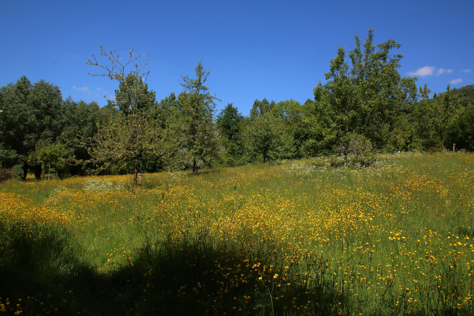
Burreken Nature Reserve consists of steep slopes, damp spring forests, open grasslands, and old sunken roads carved deep into the hills. Forest birds such as dzięcioł duży, dzięciołek, grubodziób and czarnogłówka (zwyczajna) are well represented in Burreken. You can also encounter birds of prey, such as myszołów, krogulec, puszczyk zwyczajny and uszatka. The pójdźka is also present in this area.
_________________________
Nederlands: Natuurreservaat Burreken is één van de meest schilderachtige plekjes in de Vlaamse Ardennen. Het landschap bestaat uit steile hellingen, vochtige bronbossen, open graslanden en oude holle wegen die diep in de heuvels zijn uitgesleten. In en rond het Burreken zijn er drie wandelroutes. In het Burreken zijn bosvogels als dzięcioł duży, dzięciołek, grubodziób en czarnogłówka (zwyczajna) goed vertegenwoordigd. Ook kun je er veel roofvogels aantreffen zoals myszołów, krogulec, puszczyk zwyczajny en uszatka. Ook de pójdźka is aanwezig in dit gebied.
Szczegóły
Dostęp
Burreken Nature Reserve is located in the Flemish Ardennes, within the municipalities of Brakel, Horebeke, and Maarkedal. The area has several official starting points and entrances. Parking is available at various small entry points around the area. Press a P on the map for directions. The circular walk shown on the map is approximately 1.5 km.
_________________________
Nederlands: Het Burreken ligt in de Vlaamse Ardennen, op het grondgebied van Brakel, Horebeke en Maarkedal. Het gebied heeft meerdere officiële startpunten en toegangen. Parkeren kan aan verschillende kleine instappunten rond het gebied. Druk op een P in de kaart voor een routebeschrijving. Het reservaat wordt beheerd door Natuurpunt en is volledig vrij toegankelijk voor wandelaars. De rondwandeling die is weergegeven op de kaart is ongeveer 1,5 km.


 ) aby wstawić nazwy ptaków w swoim języku ojczystym. Nazwy ptaków zostaną automatycznie przetłumaczone dla innych użytkowników!