

Description
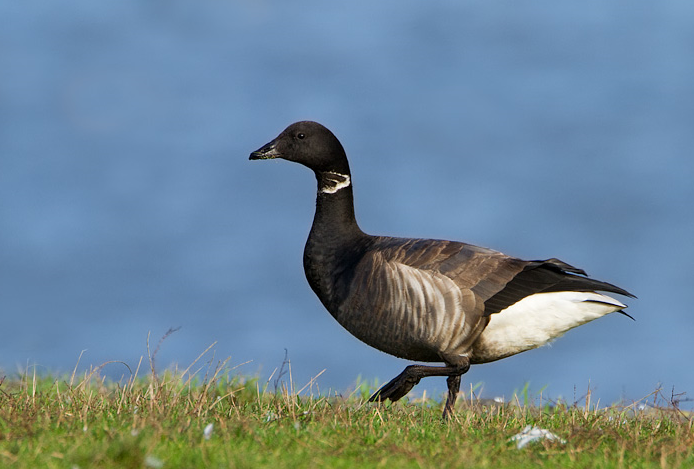
Nice walk around the point covering many varied habitats including open sea, beach, marina, grassland, abandoned infrastructure, marina, and buildings. Locally famous Kirkeugle pair often seen in the gun-holes of Fort Cumberland (end of the point, on the sea side). Flocks of Sandløper rush the shores around the area between Portsea and Hayling, along with Fiskemåke and Storskarv in the calm strait. As with the rest of Langstone Harbour, Ringgås can be seen in the marina at low tide. Grønlandsmåke, Fjæreplytt, Svartehavsmåke, Låvesvale, Svartrødstjert, and Spurvehauk also reported across the year.
Details
Access
Parking is free in the gravel carpark by Fort Cumberland, at the end of Fort Cumberland Road. From here walk South East until you reach the beach and continue East with the wire fence on your left. Stay on the elevated concrete as it rises above the beach until fencing prevents further access - look to your left at the gunholes in the Fort to see Kirkeugle. At low tide, continue around the beach (some easy climbing over rocks needed) and down the strait to reach the RNLI lifeboat house, observing Sandløper, Fiskemåke, and Storskarv on the groynes and in the straight. Very tame Stær and Hettemåke hang around here. Follow the road back on yourself to return to the car park via marina with Ringgås and Rødstilk at low tide, then through protected grassland home to Svartstrupe, Grønnfink, Tårnfalk, and Gråspurv.
Terrain and Habitat
Beach , Sea , Grassland , Mud flatsConditions
Flat , Rocky , High water possible , Slippery , SandyCircular trail
YesIs a telescope useful?
Can be usefulGood birding season
Winter , All year round , SummerBest time to visit
Winter , SummerRoute
Paved road , Narrow trail , Wide path , Unpaved roadDifficulty walking trail
Average walkAccessible by
FootBirdwatching hide / platform
NoExtra info
Grassland next to carpark and Fort Cumberland is a protected greenspace due to the insect and bird life. Information boards available.


 ) to insert bird names in your own language. The birdnames will automatically be translated for other users!