

Description
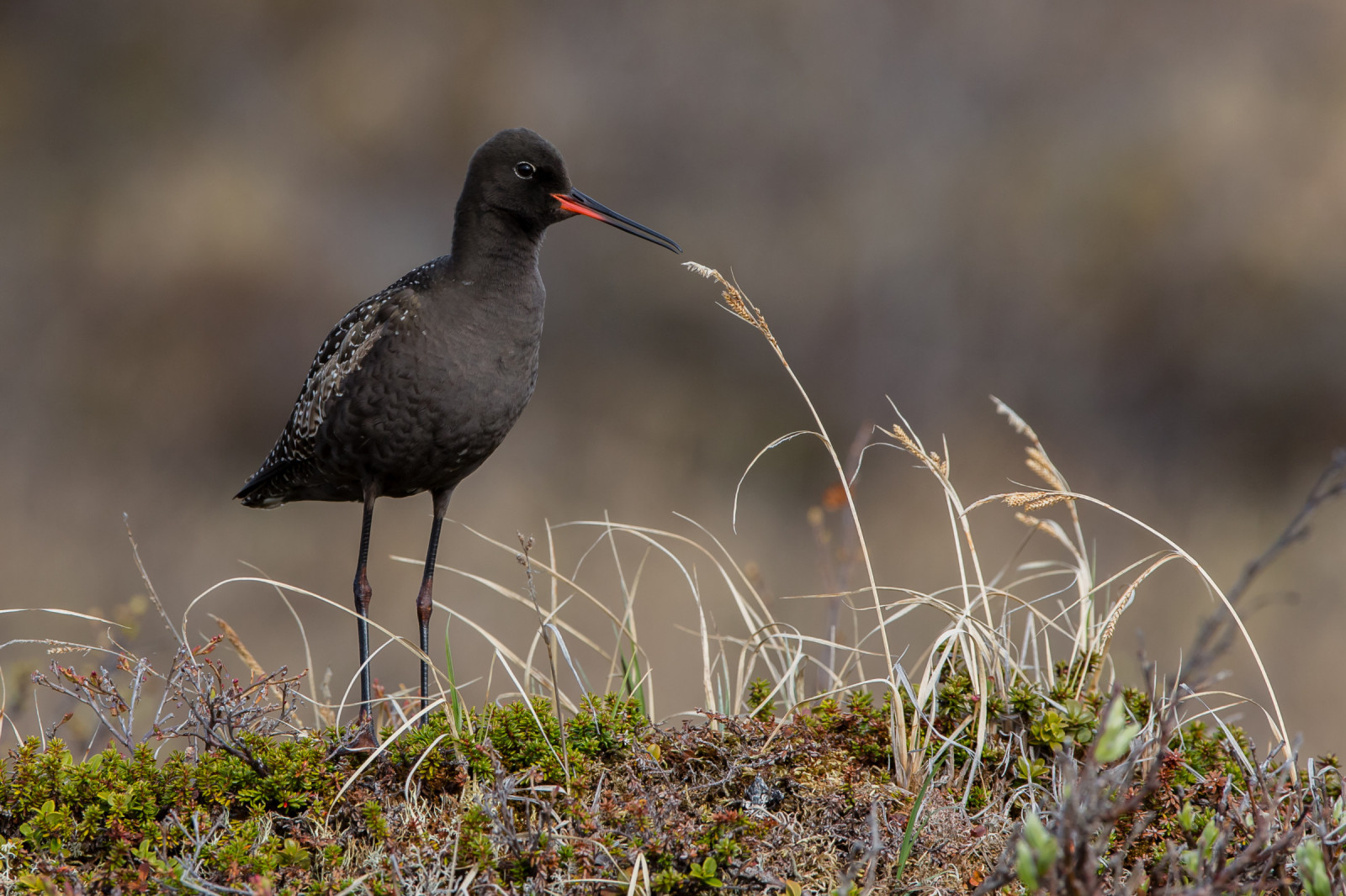
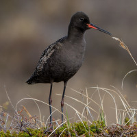
The Westenschouwse Inlaag is clearly visible from two dikes. One dike is a paved road, the other dike is an unpaved path. You look down on the birds from above. Several bird species breed in this area. Among the most common birds are: Gravand, Hvitkinngås, Toppand, Snadderand, Sivhauk, Gråhegre, Silkehegre, Skjestork, Rødstilk, Sotsnipe, Avosett, Stylteløper, Sivsanger, Svartstrupe, Steinskvett, Ringgås, Skogsnipe, Makrellterne, Strandsnipe, Svartrødstjert, Tjeld, Stillits, Egretthegre and Vipe.
_________________________
Nederlands: De Westenschouwse Inlaag op Schouwen Duiveland is gescheiden door de N57 in een westelijk en oostelijk deel. Het is een nat brak gebied met water, slikken, riet en enkele eilandjes. Het gebied is goed te zien vanaf twee dijken. Eén dijk is een verharde weg, de andere dijk is een onverhard pad. Je kijkt van bovenaf op de vogels neer. Diverse vogelsoorten broeden in dit gebied. Enkele van de meest voorkomende vogels zijn: Gravand, Hvitkinngås, Toppand, Snadderand, Sivhauk, Gråhegre, Silkehegre, Skjestork, Rødstilk, Sotsnipe, Avosett, Stylteløper, Sivsanger, Svartstrupe, Steinskvett, Ringgås, Skogsnipe, Makrellterne, Strandsnipe, Svartrødstjert, Tjeld, Stillits, Egretthegre en Vipe.
Details
Access
The Westenschouwse Inlaag is located directly south of the village of Westenschouwen. There are two large parking lots. The area is accessible on foot, by bicycle or car. The circular walk indicated on the map is about 5 km. Click on a P in the map for directions to a parking lot.
_________________________
Nederlands: De Westenschouwse Inlaag ligt direct ten zuiden van het dorp Westenschouwen. Er zijn twee grote parkeerplaatsen. Het gebied is toegankelijk te voet, met de fiets of auto. De rondwandeling die op de kaart is aangegeven is zo'n 5 km. Klik op een P in de kaart voor een routebeschrijving naar een parkeerplaats.
Terrain and Habitat
Wetland , Grassland , Reedbeds , Mud flatsConditions
Flat , Wet , Open landscapeCircular trail
YesIs a telescope useful?
YesGood birding season
Summer , Spring , AutumnBest time to visit
Spring , SummerRoute
Paved road , Narrow trailDifficulty walking trail
EasyAccessible by
Foot , Bicycle , CarBirdwatching hide / platform
NoExtra info
Immediately next to the eastern part is another small area with many trees, including willows. Recognition point is the steel fence. Here you can see birds such as Sørnattergal, Munk, Cettisanger, Gransanger, Løvsanger, Gjerdesmett and Ringdue.
_________________________
Nederlands: Direct naast de oostelijke inlaag ligt nog een klein gebiedje met veel bomen, o.a. Wilgen. Herkenningspunt is het stalen hek. Hier kun je vogels zien zoals Sørnattergal, Munk, Cettisanger, Gransanger, Løvsanger, Gjerdesmett en Ringdue.


.jpg)
 ) to insert bird names in your own language. The birdnames will automatically be translated for other users!