
Description
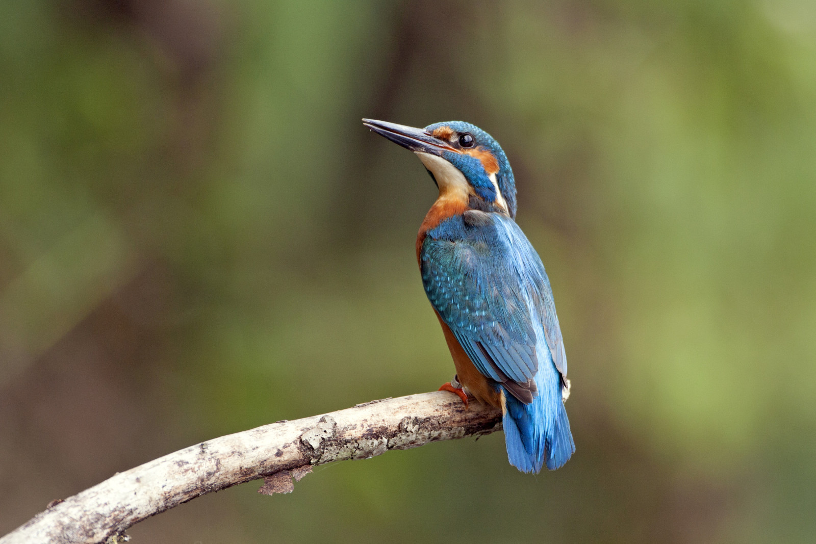
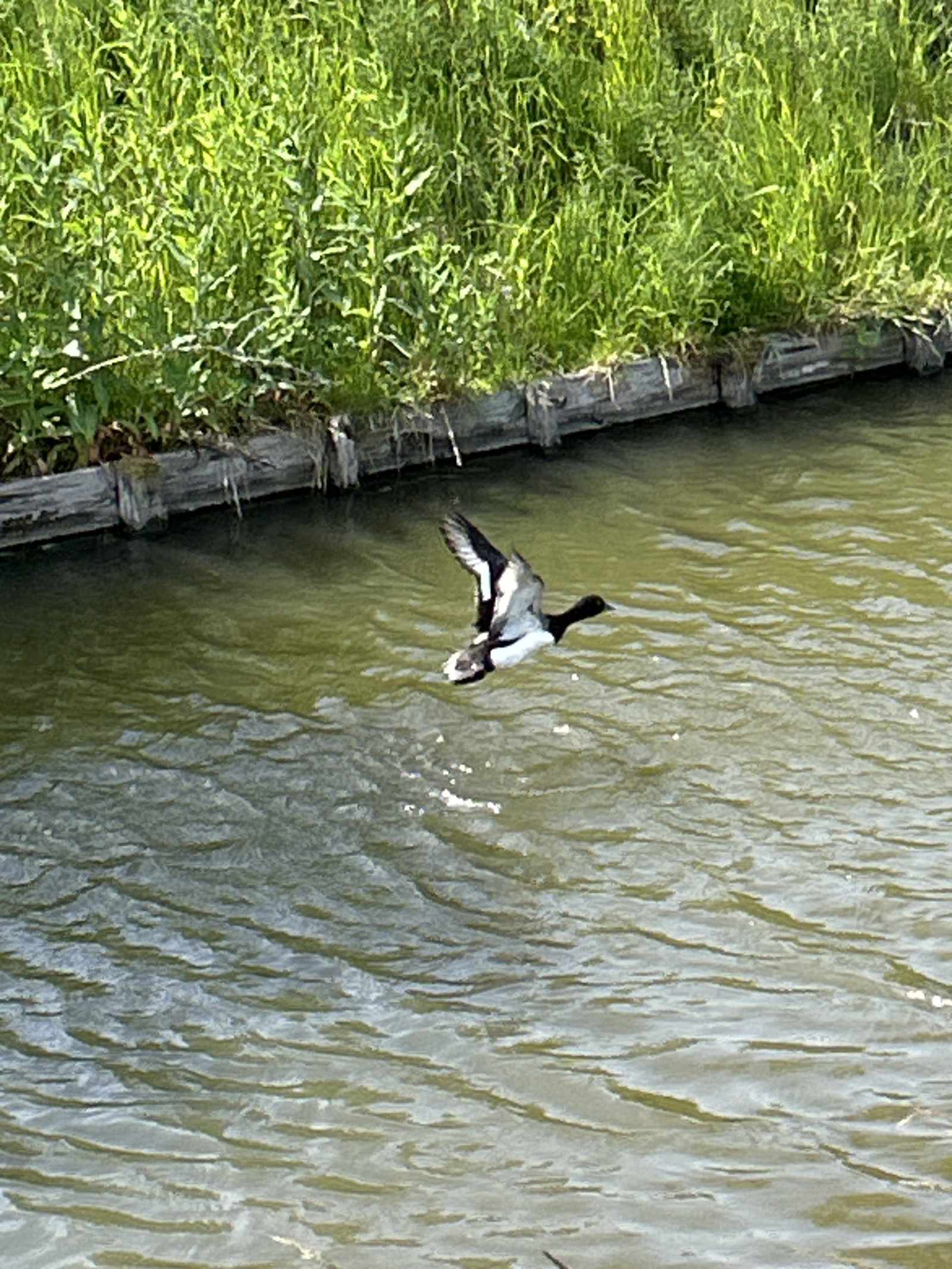
The Venneperhout is a varied nature reserve with deciduous forest, open meadows and water, ideal for various bird species. In the spring, there are many Sørnattergal, Hagesanger, Trepiplerke, Heipiplerke and Munk to be found. Gjøk can also be observed then. In the autumn, Rødvingetrost and Gråtrost can often be found. In the winter, Laksand can usually be seen in the ditch that lies against Nieuw Vennep. In addition, Isfugl and Vannrikse can be found in these ditches all year round. Kjernebiter can also be found, especially in areas with tall poplars.
_________________________
Nederlands: Het Venneperhout is een natuurgebied in de Haarlemmermeer aan de rand van Nieuw-Vennep met bos, weides en waterpartijen. Het is een afwisselend natuurgebied met loofbos, open weides en water, ideaal voor diverse vogelsoorten. In het voorjaar zijn er veel Sørnattergal, Hagesanger, Trepiplerke, Heipiplerke en Munk te vinden. Ook Gjøk kan dan waargenomen worden. In de herfst zijn er vaak Rødvingetrost en Gråtrost te vinden. In de winter is meestal Laksand te zien in de sloot die tegen Nieuw Vennep aan ligt. Daarnaast zijn Isfugl en Vannrikse het hele jaar in deze sloten te vinden. Ook is de Kjernebiter te vinden, met name in de stukken met hoge populieren.
Details
Access
The Venneperhout borders directly on the outskirts of the town of Nieuw-Vennep and is accessible by car (free parking at the Venneper Lodge) or public transport, with a short bus or bike ride from Nieuw-Vennep station. The area is best explored on foot or by bike for a broader overview. A visit takes 1-2 hours. The circular walk shown on the map is approximately 5.5 km.
_________________________
Nederlands: Het Venneperhout grenst direct aan de buitenwijken van Nieuw-Vennep en is bereikbaar per auto (gratis parkeren bij de Venneper Lodge) of openbaar vervoer, met een korte bus- of fietstocht vanaf station Nieuw-Vennep. Het gebied is het beste te verkennen te voet of met de fiets voor een breder overzicht. Voor een bezoek is 1-2 uur voldoende. De rondwandeling die is weergegeven op de kaart is ongeveer 5,5 km.


 ) to insert bird names in your own language. The birdnames will automatically be translated for other users!