

Description
Hallig Hooge is characterized by large fallow areas, some of which are used for livestock farming. There are large areas of salt marsh on the east and west sides of the Hallig. While the North Sea is on the north side, large mudflats are exposed around the rest of the Hallig Hooge at low tide. Isolated hills with clusters of houses, small ponds and shrub structures allow very close observations of migrating songbirds, especially during migration periods.
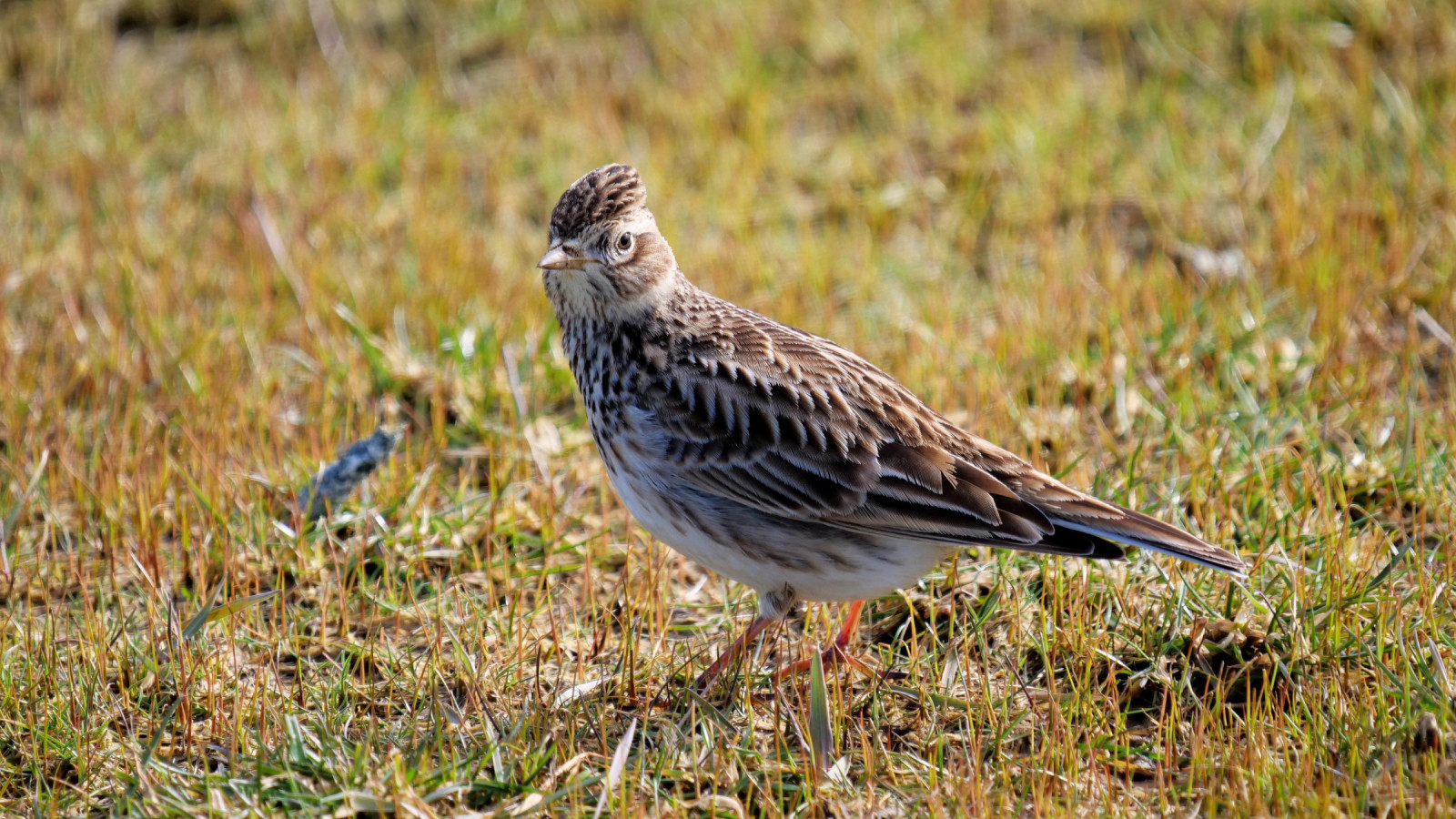
On a small sandbank on the northeastern side of Hallig Hooge is a hightide roost of waders and other waterbirds. But during very high tides the entire island is used as a roost. Breeding birds include Tjeld, Rødstilk and Dvergterne on the small sandbar. Other birds you can encounter are depending on the season Ringgås, Brunnakke, Gravand, Ærfugl, Siland, Avosett, Tundralo, Heilo, Storspove, Lappspove, Sandlo, Steinvender, Myrsnipe, Steinskvett, Heipiplerke, Rødnebbterne, Makrellterne and Splitterne. During migration time you can also encounter birds such as Rødhalsgås, Snøspurv, Fjæreplytt, Gulbrynsanger, Linerle ssp yarrellii, Vendehals and all types of songbirds like trushes and flycatchers.
Details
Access
Hallig Hooge can be reached by ferry from Schlüttsiel (see link below). Press P on the map for directions to Schlüttsiel. The crossing from Schlüttsiel to Hallig Hooge takes approximately 1 hour and 15 minutes. Every point on the island of Hallig Hooge itself is easily accessible on foot or by bike. You can get around on foot on the Warften (small hills, including clusters of houses and bush structures), but there are also some private properties and private paths.
Terrain and Habitat
Wetland , Grassland , Scattered trees and bushes , Plain , Sea , Dunes , Pond , Mud flats , Agriculture , Reedbeds , City/villageConditions
Flat , Hilly , Open landscape , High water possibleCircular trail
YesIs a telescope useful?
Can be usefulGood birding season
All year roundBest time to visit
Spring migration , Autumn migrationRoute
Paved road , Wide path , Unpaved road , Narrow trailDifficulty walking trail
EasyAccessible by
Foot , Bicycle , WheelchairBirdwatching hide / platform
NoExtra info
Rødhalsgås Bergand Svartand Kvinand Tundragås Bergand Dvergdykker Gjøk Nattravn Tårnseiler Sothøne Trane Vipe Dverglo Boltit Tundrasnipe Rugde Enkeltbekkasin Svømmesnipe Strandsnipe Skogsnipe Gluttsnipe Tyvjo Krykkje Rovterne Smålom Havsule Silkehegre Skjestork Fiskeørn Myrhauk Myrsanger Rørsanger Bøksanger Gulbrynsanger Blekbrynsanger Fuglekongesanger Gransanger, underarten tristis Trekryper Kortklotrekryper Ringtrost Duetrost Steinskvett Vintererle Skjærpiplerke Linerle ssp yarrellii Grey-headed Wagtail (thunbergi) Gulerle ssp flavissima Bjørkefink Bergirisk Gråsisik Sivspurv Hønsehauk Fjellvåk Musvåk Isfugl Vendehals Dvergfalk Vandrefalk Tornskate Skjære Kaie Kornkråke Kråke Fjellerke Trelerke Gulsanger Sivsanger


 ) to insert bird names in your own language. The birdnames will automatically be translated for other users!