

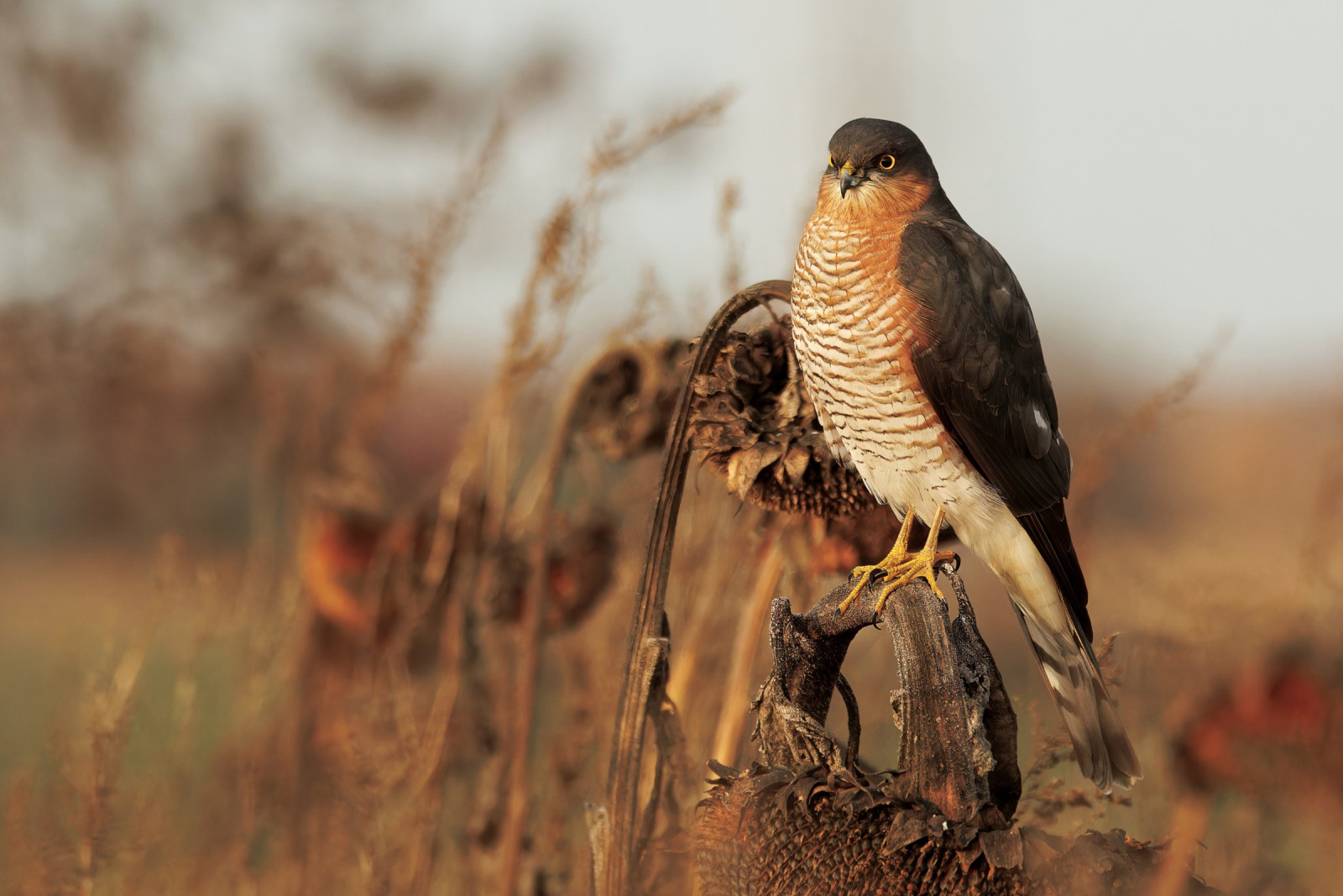
Beschrijving
From the centre of the village of Oakford footpaths lead across farmland to woodland on the valley bottom, through which runs the Iron Mill Stream (a tributary of the River Exe). At it's Eastern end is Iron Mill Bridge. A footpath runs alongside the South side of the stream to a Ford with Footbridge at it's Western end. The mixed woodland (mostly deciduous) turns to more coniferous trees toward it's Western end where Goudhaan are a distinct possibility. In Summer Tjiftjaf, Fitis, Fluiter, Gekraagde Roodstaart and Bonte Vliegenvanger are regularly seen, also common are IJsvogel and Waterspreeuw.
Details
Toegang
The M25 Motorway is further to the South/East, leave the motorway at junction 27, onto the A361 signed Tiverton, the A361 bypasses the Northern edge of Tiverton, at the next roundabout take third exit (signed Bapton A396). This A396 roughly follows the upper reaches of the River Exe. Continue on this road until you reach a very SMALL 'mini' roundabout, turn Left here signed Minehead still on A396. Continue on this road that eventually becomes the B3227 going over a narrowish bridge (look for River Exe sign on bridge), this B3227 road continues passing woodland, look for a Left turn signed Oakford on a sweeping bend. Turn here onto a minor road that takes you to the village of Oakford. In the village look for on street parking (BE AWARE NARROW STREETS - DO NOT BLOCK ACCESS).
Terrein en leefgebied
Verspreide bomen en struiken , Bos , Landbouw , Stad/dorp , Rivier , Grasland/weideOmstandigheden
Heuvelachtig , Open landschapRondlopende wandeling mogelijk?
JaTelescoop meenemen?
Kan handig zijnWanneer hier vogels kijken?
Het hele jaarToptijd voor dit gebied
Zomer , Voorjaarstrek , Lente , Herfst , NajaarstrekRoute
Verharde weg , Onverharde weg , Smal padZwaarte wandeling
GemiddeldToegankelijk via
Te voetVogelkijkhut aanwezig?
NeeExtra info
BE WARNED following periods of heavy rain most footpaths become extremely wet and muddy: WEAR SUITABLE FOOTWEAR.


 ) om vogelnamen snel in te voeren via een aanklikbare lijst.