
Beschrijving
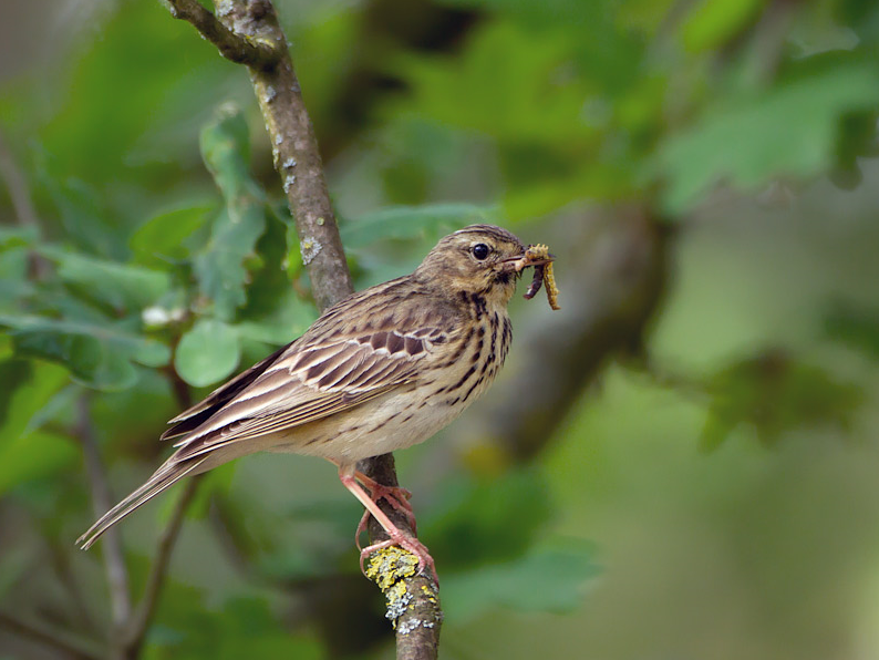
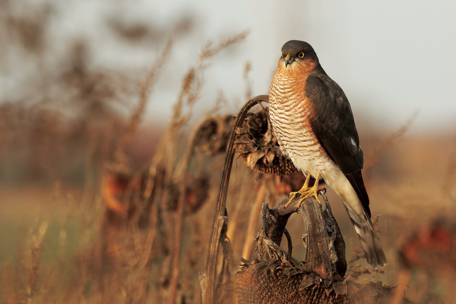
Newbridge is a road crossing over the River Lynher on the A390 main road between Callington and Liskeard. Newbridge being such a common name it's known locally as Callington Newbridge, built centuries ago it was formerly a toll bridge. NOTE whilst the river is mostly slow and gentle, following periods of heavy rain it can become extremely fast and care should be taken near the river banks. Cadson Bury (or Cadsonbury) is a large Iron Age Hill Fort. NOTE the climb is very steep with steps but gives spectacular views over a wide area. 60 years ago this area was little visited, but today is more popular, on fine days, especially in Summer months, a visit early in the day is best. Once one of the best places to see both Glanskop and Matkop, today they are rarely seen, more common depending on season are Goudhaan, Sijs, Waterspreeuw, Tjiftjaf, Geelgors, Boompieper and Buizerd amongst many others.
Details
Toegang
The A390 main road runs from Liskeard (far to the West) and Callington (just to the North East). If traveling from Liskeard leave on A390 signed Callington/Tavistock/Launceston (A388), pass through the hamlets of St I've/Park field, continue on A390, the road eventually goes downhill through a wooded section, on passing River Lynher Newbridge sign, at next sharp Left hand bend turn Right into narrow road to car park. If traveling from Callington leave on A390 signed Liskeard, the road soon goes downhill through trees on both sides, on passing Priority To Oncoming Vehicles (Blue) signs the road narrows, cross over bridge and turn first Left into narrow road to car park.
Terrein en leefgebied
Verspreide bomen en struiken , Bos , Grasland/weide , Dal , Rivier , LandbouwOmstandigheden
Heuvelachtig , Vlak , Open landschap , Glad , Nat , Rotsachtig , Hoog water mogelijkRondlopende wandeling mogelijk?
JaTelescoop meenemen?
Kan handig zijnWanneer hier vogels kijken?
Het hele jaarToptijd voor dit gebied
Winter , Lente , Herfst , Najaarstrek , VoorjaarstrekRoute
Verharde weg , Breed pad , Onverharde weg , Smal padZwaarte wandeling
GemiddeldToegankelijk via
Te voet , Fiets , AutoVogelkijkhut aanwezig?
NeeExtra info
If climbing to hill fort livestock may be present. The circular walk indicated on the map is about 3,5 km.


 ) om vogelnamen snel in te voeren via een aanklikbare lijst.