

Beschrijving
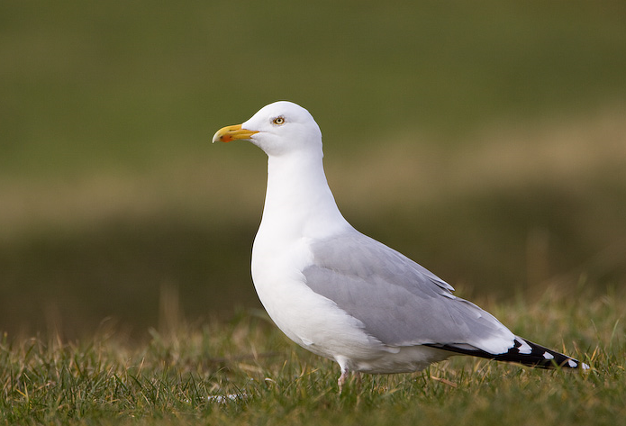
On the East side of Gerrans Bay, Nare Head is over 300 feet high, once known as Penare Point (meaning headland in the Cornish language). The headland has views in all directions. Just off shore to the South East is the Whelps Reef, the scene of many wrecked ships. Part of the reef is the large Gull Rock (Press STAR on map) a nesting area for Zilvermeeuw, Aalscholver, Kuifaalscholver, Alk and Zeekoet. Carne Beach is South facing, the roadside parking near the beach is a good area to look for Parelduiker, IJsduiker or the occasional Roodkeelduiker (Telescope essential). If this car park (9 spaces) is full there is a larger car park (Fee Payable) next to it surrounded by trees. Check this area for migrants in Spring and Autumn, because the Gerrans Bay area is a busy holiday destination, car parks can fill up early in good weather, but not a problem during Winter. There is a National Trust car park (Fee Payable) near Nare Head.
Being on the East side of Gerrans Bay the Nare Head area suffers with low Winter sun in late afternoons when looking West.
Details
Toegang
(*A), The A3078 between St Mawes (further to the West) and the A390 (far to the North), runs fairly close to the site, on A3078 from both directions turn East at sign for Portholland/Portloe/Veryan/Mellinsey Mill (Press STAR on Map). This narrow road passes through a wooded area, eventually arriving at Veryan, at crossroads STOP SIGN (*B), turn Right signed Carne/Portloe/Pendower, continue on this road and turn Left signed Carne/Carne Beach, this road shortly arrives at Carne Beach roadside parking.
For Nare Head car park follow from (*A) until reaching (*B) above, at Veryan crossroads STOP SIGN continue STRAIGHT AHEAD into Elerkey Lane (narrow). At next junction turn Right (unsigned) onto Century Lane, continue on this road and at next STOP SIGN turn Right, continue on this road and turn Left signed Nare Head (Note sign is on grass island in road sometimes obscured), continue on this road turning on right hand bend (Note National Trust sign in hedge is sometimes obscured), continue on this road and car park is at end of road.


 ) om vogelnamen snel in te voeren via een aanklikbare lijst.