
Beschrijving
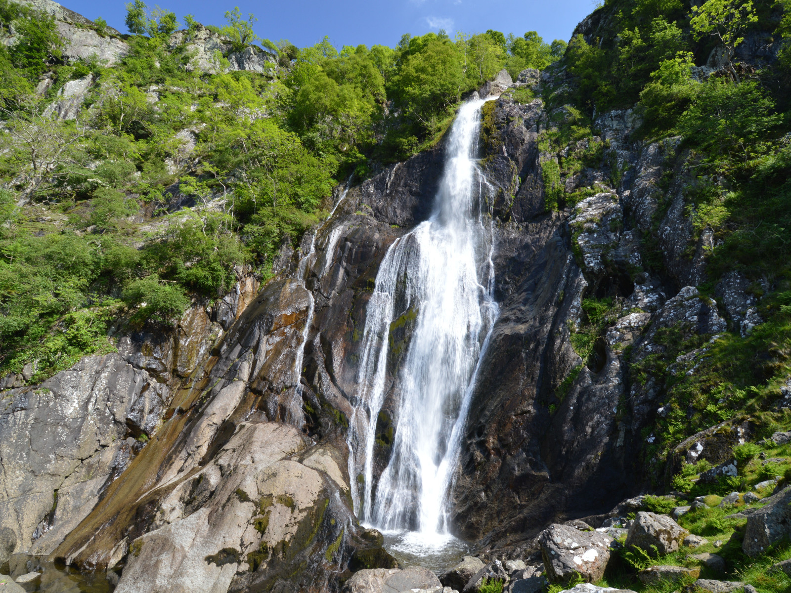
Aber Falls is located in one of the northernmost of Wales' classic hill valley woodlands. Easily accessible from the university city of Bangor and the North Wales coastal road. The semi-natural to natural woods of Oak, Ash, Alder, and Hawthorn are excellent breeding habitat for the four classical upland broadleaf woodland birds, Bonte Vliegenvanger, Gekraagde Roodstaart, Boompieper and Fluiter, as well as resident species like Groene Specht and Grote Lijster. The river below the Falls, the Afon Goch, has Waterspreeuw, Grote Gele Kwikstaart and Oeverloper. Around the cliffs beside the Falls, scan for Beflijster in spring and summer, and on the screes, Paapje, Roodborsttapuit and Tapuit. The area is bleak in winter, but flocks of Koperwiek and Kramsvogel can be seen in the open ground, and Sijs and Kleine Barmsijs feeding on seeds in the Alders and Birches.
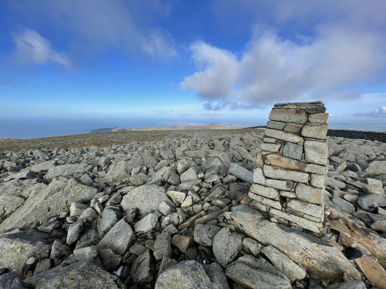
A longer, strenuous option is to continue to the southeast of the falls; climb up the side of the former plantation to the northeast of the Falls, then cut straight up the open moor to Llwytmor (849 m) and on to Foel-fras (944 m) and Foel Grach (974 m), or even to Carnedd Llewelyn (1,064 m). Birds up here are few, but Raaf is reliable, Slechtvalk regular, Alpenkraai occasional, and in mid to late May, spring passage Morinelplevier are frequently seen on the barren high tops. Be careful when descending to follow a safe path, don't try climbing down the cliffs beside Aber Falls!
Details
Toegang
Take the bus from Bangor to Llanfairfechan (and beyond), alight at Abergwyngregyn and walk from there; alternatively, cycling from either Bangor (10 km) or Llanfairfechan (4 km) rail stations. For cars, see the P sign on the map for directions.
Terrein en leefgebied
Bos , Berg , Kloof/klif , Verspreide bomen en struiken , Grasland/weide , Hoogvlakte , Dal , RivierOmstandigheden
Bergachtig , Nat , Heuvelachtig , Rotsachtig , Open landschap , GladRondlopende wandeling mogelijk?
JaTelescoop meenemen?
NeeWanneer hier vogels kijken?
Lente , ZomerToptijd voor dit gebied
Lente , ZomerRoute
Breed pad , Onverharde weg , Smal padZwaarte wandeling
GemiddeldToegankelijk via
Te voet , Fiets , AutoVogelkijkhut aanwezig?
NeeExtra info
Note that the mountain option should only be attempted during good weather (dry, with cloud base reliably above 1,500 m). With low cloud and rain - frequent at any time of the year - the moors become very dangerous, as it is easy to get lost and fall down any of the many crags. Make sure you are equipped for heavy rain at any time - this is a temperate rainforest area! In winter, deep snow can be expected above 300-400 m; do not attempt the mountains in this without good mountaineering experience!
Photo of Aber Falls by Clive Giddis, cc-by-sa license, from geograph.org.uk (photo 4006020).


 ) om vogelnamen snel in te voeren via een aanklikbare lijst.