
Beschrijving
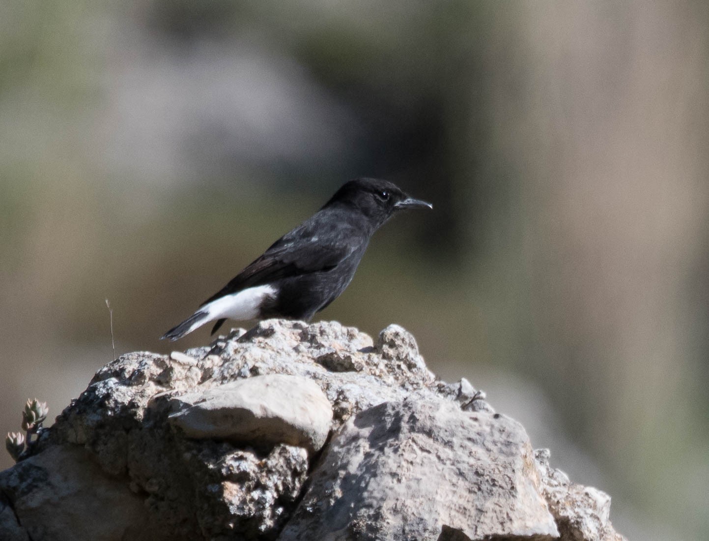
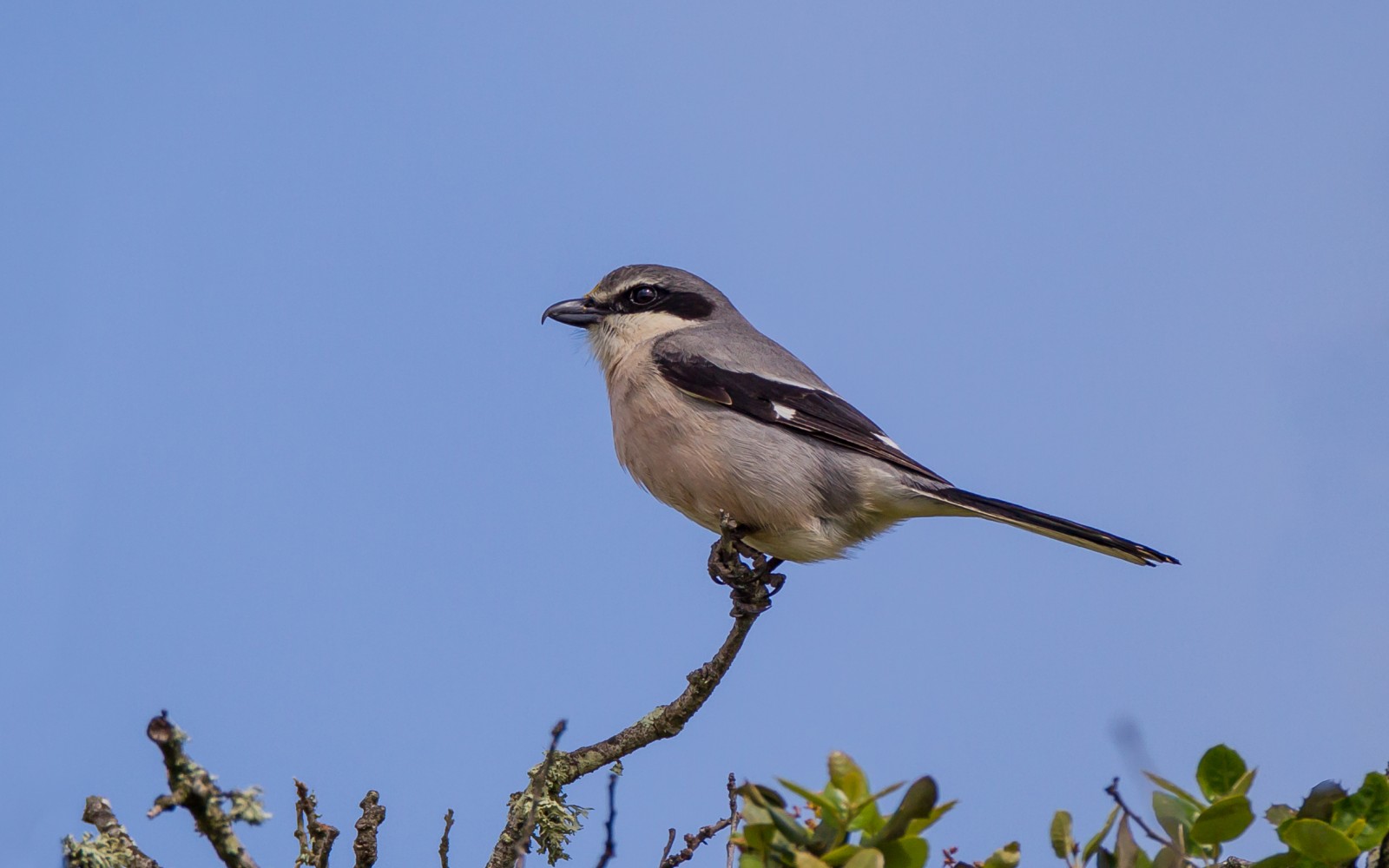
Rambla del Cañar allows the observation of a great variety of passerines and some species of raptors in a route of great scenic beauty. Depending on the time of year and the abundance of the rains, the route can run along a small stream. Among the birds you can see are Wielewaal, Iberische Klapekster, Roodkopklauwier, Zwarte Tapuit, Moorse Nachtzwaluw, Roodstuitzwaluw, Grauwe Vliegenvanger and Steenarend.
_________________________
Espagnol: Recorrido remontando la rambla del Cañar siguiendo un sendero que permite llegar hasta Tallante. Recorrido de gran belleza paisajística. Permite la observación de una gran variedad de paseriformes y algunas especies de rapaces en un recorrido de gran belleza paisajística. El recorrido según la época del año y la abundancia de las lluvias puede discurrir junto a un pequeño cauce de agua.
Details
Toegang
Access to the trail is done in Isla Plana. From the promenade there is a path to the Los Madriles campsite, on the Isla Plana road, which we cross to enter a paved road next to some greenhouses, heading northeast. The asphalt ends next to the treatment plant, the car can be parked in the surroundings of the treatment plant, and the path enters the Rambla del Cañar, between Cerro de la Panadera and Cabezo del Horno, under the Cueva del Caballo. The path along the bottom of the promenade has a lot of vegetation. This becomes more lush when you reach the Cañar spring, where a large wetland is preserved, which supports pines, poplars and holm oaks, in addition to the typical vegetation made up of reed beds. The one way route that is marked on the map below is 6 km. You can decide for yourself how long you want to make the walk. Click on the P in the map to get directions to the starting point.
_________________________
Espagnol: El acceso al sendero se realiza en Isla Plana. Desde el paseo marítimo sale un camino hacia el camping de los Madriles, en la carretera de Isla Plana, la cual cruzamos para adentrarnos por un camino asfaltado junto a unos invernaderos, en dirección Noreste. El asfalto termina junto a la depuradora, el coche se puede estacionar en el entorno de la depuradora, y el camino se introduce en la rambla del Cañar, entre el cerro de la Panadera y el Cabezo del Horno, bajo la cueva del Caballo. El camino por el fondo de la rambla está muy marcado y tiene bastante vegetación. Esta se hace más frondosa cuando llegamos a la fuente del Cañar, donde se conserva un gran humedal, que da sustento a pinos, álamos y encinas, además de la típica vegetación de rambla, compuesta por cañaverales y baladres.


 ) om vogelnamen snel in te voeren via een aanklikbare lijst.