_1.jpg)
Beschrijving
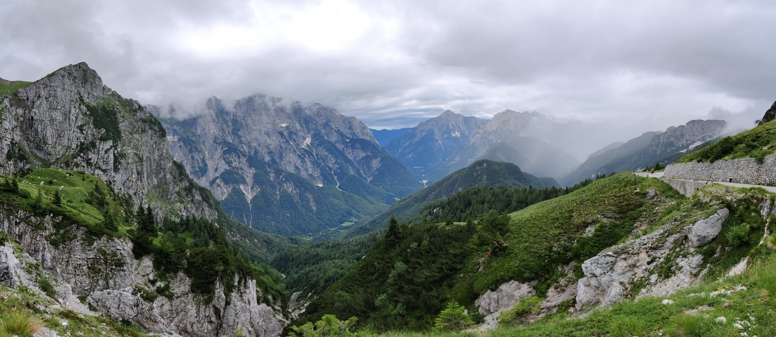
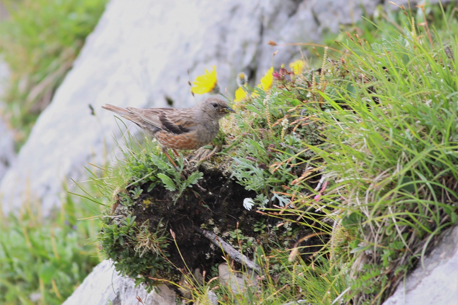
The Mangart in the Julian Alps is third highest mountain in Slovenia and much more easy to reach than the highest peak: the Triglav. Besides the magnificent landscape with high peaks and alpine vegetation above the tree line, the mountain is home to a big array of alpine birds and mammals. The spot isn't the perfect location for raptors, but other alpine birds as Alpenheggenmus, Sneeuwvink and Alpenkauw appear more and more when you reach the top.
For birding you always need to have some luck. Near the top of the mountain also birds as Rode Rotslijster and Alpensneeuwhoen can be found. Those birds hide in the rocky area's near the top and are a bit harder to be found. The perfect challenge for a day on the Mangart!
A few hundred meters under the top near the tree line other characteristic birds as Alpengierzwaluw, Rotszwaluw, Notenkraker, Waterspreeuw and Grijskopspecht can be found. And it might even be possible to sometimes get a glimp of the Steenarend which roams around the area! Some other birds which can be found are: Beflijster, Raaf, Taigaboomkruiper, Bergfluiter and Zwarte Roodstaart.
The Mangart is also home for several mammalspecies, like Alpine marmot, chamois and weasel!
Details
Toegang
The top of the Mangart is easy to reach via the 902. The road can be reached from the Italian side of the Alps or the Slovenian side and is kind of in the middle of nowhere. It is a narrow, winding asphalt road which takes you to a height of 1900 meters. At this side there is opportunity to park your car. It cost around 10 euro toll for your car to drive to this place, but it is worth all the money. From here it is possible to have a hike to the top of the mountain. Two routes could be taken. One of them goes among the Italian side of the mountain (left) and the other among the Slovenian side (right). The hike among the Italian side of the mountain is easier, but the climb to the top is still a nice challenge. It takes around 1,5 to 2 hours to reach the top and the same time to get back to the car (if you take the route among the Italian side). Besides walking to the top it is possible to roam around the parking place and stay a little bit lower. This is much more easy to walk and all the characteristic Alpine birds can be found at this height.
 Peter Watthy.jpg)


 ) om vogelnamen snel in te voeren via een aanklikbare lijst.