Beschrijving
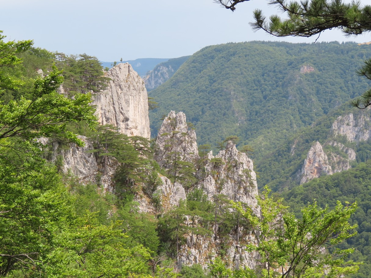
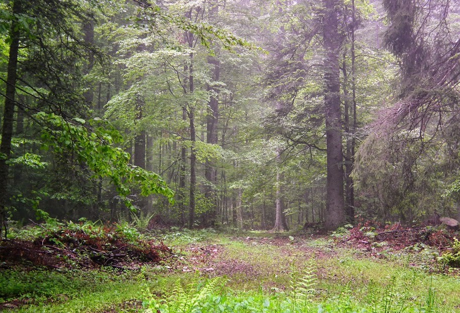
In Tara Mountain National Park 80% of the area is covered by forest, 85% of it consisting of Norway Spruce, Silver Fir and the European Beech. Altitude ranges from medium 1000 m up to the 1591 m high Kozji Rid peak.
There are 140 bird species recorded within the national park, 96 of them breeding in recent years. Among the reasonably frequent in the right habitat (= possible and, with some focused effort, realistic) to even common species are Hazelhoen (beech and mixed forests), Kwartelkoning (larger meadows), Oeraluil (with over 70 territories, the commonest owl in the park’s mixed forests), Grijskopspecht (mixed forests), Groene Specht (forest edges) and Zwarte Specht (all forests), Notenkraker (conifer and mixed forests), Zwarte Mees, Kuifmees, Matkop, Rouwmees, Goudhaan, Vuurgoudhaan, Grote Lijster, Goudvink, Europese Kanarie and Kruisbek. Also, breeding Beflijster and Houtsnip. The rarest species are Kleine Vliegenvanger, Witrugspecht , Dwerguil and Ruigpootuil.
Some of the mammalian highlights of the national park are brown bear (relatively numerous, but rarely seen), chamois (frequent), roe deer (common), wildcat, European pine marten, and Eurasian otter.
Photos by Mileta Cekovic and Dragan Simic.
Details
Toegang
Tara National Park lies four hours southwest / 205 km away from the capital of Serbia, Belgrade (260 km by the new highway, or 3 and a half driving hours in both cases) . Access to Tara is possible from three directions: via Bajina Bašta - Kaluđerske bare 16 km, Kremna - Kaluđerske bare 9 km, Bajina Bašta - Mitrovac 27 km.
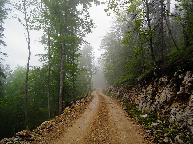
There are 290 km of marked dirt roads and hiking trails in the park, as well as 75 km of mountain biking routes (most of these tracks are also passable by ordinary cars). Excellent and constantly updated 1:50,000 hiking maps of the park are obtainable at the visitor’s centre in Mitrovac (find the NP authorities at www.nptara.rs, see the link below). The one of many possible routes, circular route shown on the map is about 20 km long.
For driving directions, zoom in on the map and click on the "P" (parking) sign.
Terrein en leefgebied
Bos , Berg , Kloof/klif , Meer , Grasland/weideOmstandigheden
Bergachtig , RotsachtigRondlopende wandeling mogelijk?
JaTelescoop meenemen?
Kan handig zijnWanneer hier vogels kijken?
Lente , ZomerToptijd voor dit gebied
LenteRoute
Verharde weg , Onverharde wegZwaarte wandeling
PittigToegankelijk via
Te voet , Fiets , AutoVogelkijkhut aanwezig?
NeeExtra info
To be properly explored, Tara National Park requires at least four days or, better, a week.
Links
- Birding the Bear Mountain of Serbia
- eBird
- Tara National Park authorities
- All eBird hotspots combined


 ) om vogelnamen snel in te voeren via een aanklikbare lijst.