Beschrijving
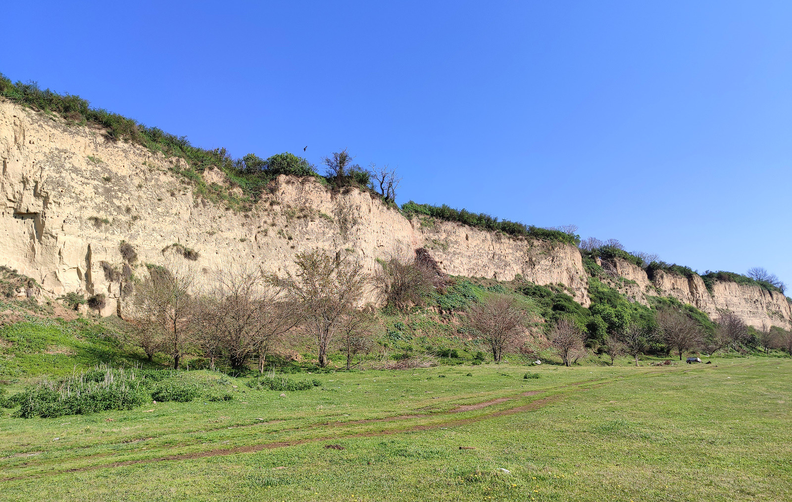
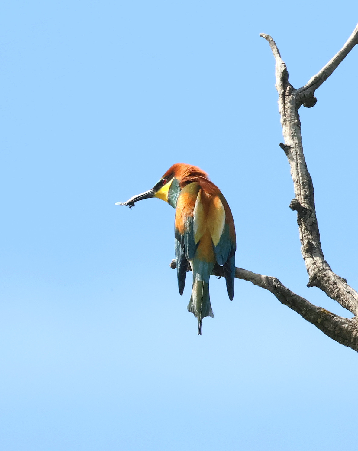
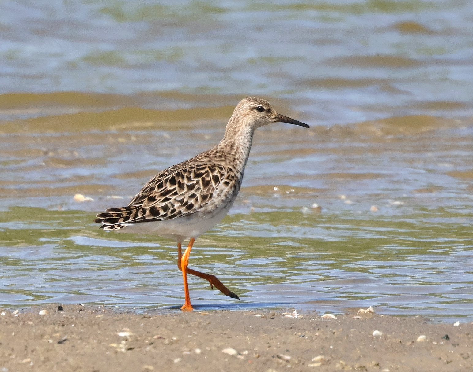
Belegiš floodplains and meadows lie under the 30m high Danube loess bluffs beneath the Belegiš village. Numerous cattle graze the meadows, and there are old pig farms deeper in the floodplain. In the spring, when the Danube watermark is high, large parts of the plains are underwater. As the water level starts to drop, Steltkluut and Kluut are searching for good places to nest. In the summer, herons, Zwarte Ibis, and Lepelaar dominate the scene. Late summer and early autumn, as the further dipping watermark coincides with autumn migration picking up, many sandbanks and sandbars are formed, attracting numerous shorebirds. In the winter, many waterfowl find the slow-moving water bays between many nearby river islands attractive.
The area is part of the IBA Danube Loess Bluffs.
Details
Toegang
There are several downward roads leading through the loess bluffs from the Belegiš village to the floodplains beneath. Some of them are paved, including the central one. Choose one of the roads and park when you reach the floodplain.
In the summer and autumn, do not miss exploring sandbanks and sandbars forming around numerous river islands. They are usually easily accessible, although no roads or trails lead to them.
Terrein en leefgebied
Wetland , Grasland/weide , Vlakte , Rivier , StrandOmstandigheden
Vlak , Nat , Hoog water mogelijkRondlopende wandeling mogelijk?
JaTelescoop meenemen?
JaWanneer hier vogels kijken?
Het hele jaarToptijd voor dit gebied
Lente , Zomer , NajaarstrekRoute
Breed pad , Onverharde wegZwaarte wandeling
GemiddeldToegankelijk via
Te voet , Fiets , Auto , BootVogelkijkhut aanwezig?
NeeExtra info
Regardless of the season, when visiting the floodplains, do check the watermarks and be sure to take a look at the recent satellite images of the area (Copernicus satellite imagery browser) and then plan your exact route accordingly. With higher waters, floodplains are usually more productive, while with lower waters, sandbanks and sandbars are the places to explore.
Links
- 'Belegiš--plavne livade' eBird hotspot
- 'Belegiš--Dunav' eBird hotspot
- 'Belegiš--Petrinci i šljunkara Stari Banovci' eBird hotspot
- eBird barchart of all hotspots
- IBA Danube Loess Bluffs


 ) om vogelnamen snel in te voeren via een aanklikbare lijst.