

Beschrijving
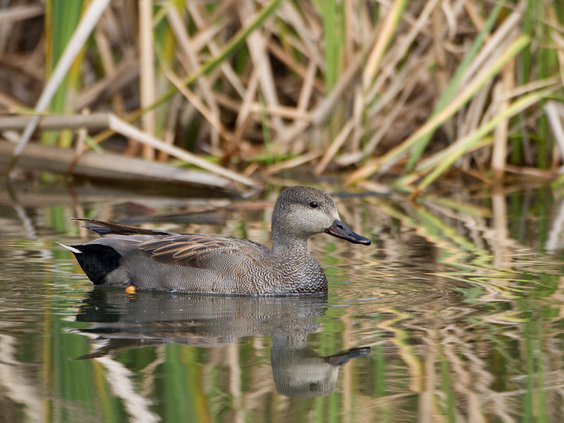
The Tungelroyse Beek rises in the marshes south of Budel and then flows in a meandering manner to Neer where it flows into the Maas. You can take lovely walks along large parts of the 26 km long stream and you often walk through meadows and marshes. A 4 km route is indicated on the map, but you can easily extend it. Along the way you have a chance to see birds such as IJsvogel, Krakeend, Smient, Wintertaling, Koekoek, Waterhoen, Scholekster, Kievit, Witgat and Grote Zilverreiger.
_________________________
Nederlands: De Tungelroyse Beek ontspringt in de moerassen ten zuiden van Budel en stroomt dan al slingerend naar Neer waar deze in Maas uitkomt. Langs grote delen van de 26 km lange beek kun je mooi wandelen en vaak loop je door weides en moerassen. Op de kaart is een route van 4 km aangegeven, maar die kun je dus gemakkelijk verlengen. Onderweg heb je kans op vogels als IJsvogel, Krakeend, Smient, Wintertaling, Koekoek, Waterhoen, Scholekster, Kievit, Witgat en Grote Zilverreiger.
Details
Toegang
The Tungelroyse Beek flows through various nature reserves such as De Krang, Leudal, and Keversbroek. The route shown on the map runs from the town of Heythuysen to the village of Leveroy or vice versa. It is a 4 km route (8 km there and back). Of course you can also walk part of the route..
_________________________
Nederlands: De Tungelroyse Beek stroomt door diverse natuurgebieden zoals De Krang, Leudal, and Keversbroek. De route die op de kaart is weergegeven loopt van Heythuysen naar Leveroy of andersom. Het is een route van 4 km (8 km heen en terug). Je kunt natuurlijk ook een deel van de route lopen.


 ) om vogelnamen snel in te voeren via een aanklikbare lijst.