Beschrijving
Magredi di Cordenons is a unique area in Italy of its kind, which in some way recalls the Hungarian steppes, with which it also has a certain type of vegetation in common. The site is part of the Natura 2000 network. It is the most important site in North East Italy for the nesting of Griel and other increasingly rare species like Veldleeuwerik, Boomleeuwerik and Duinpieper. In recent years, Scharrelaar, Kortteenleeuwerik and Zwartkopgors have also nested in the area.
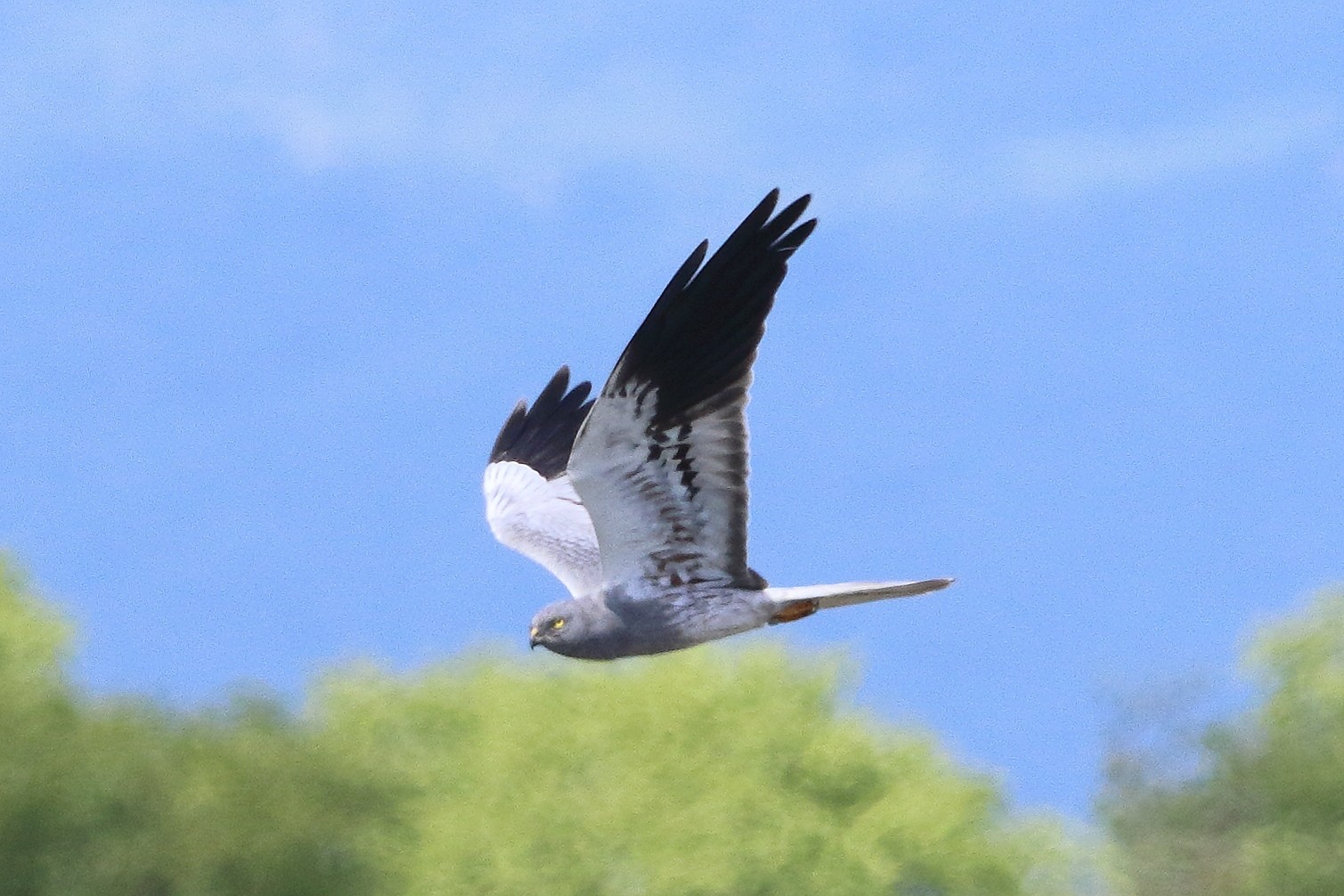
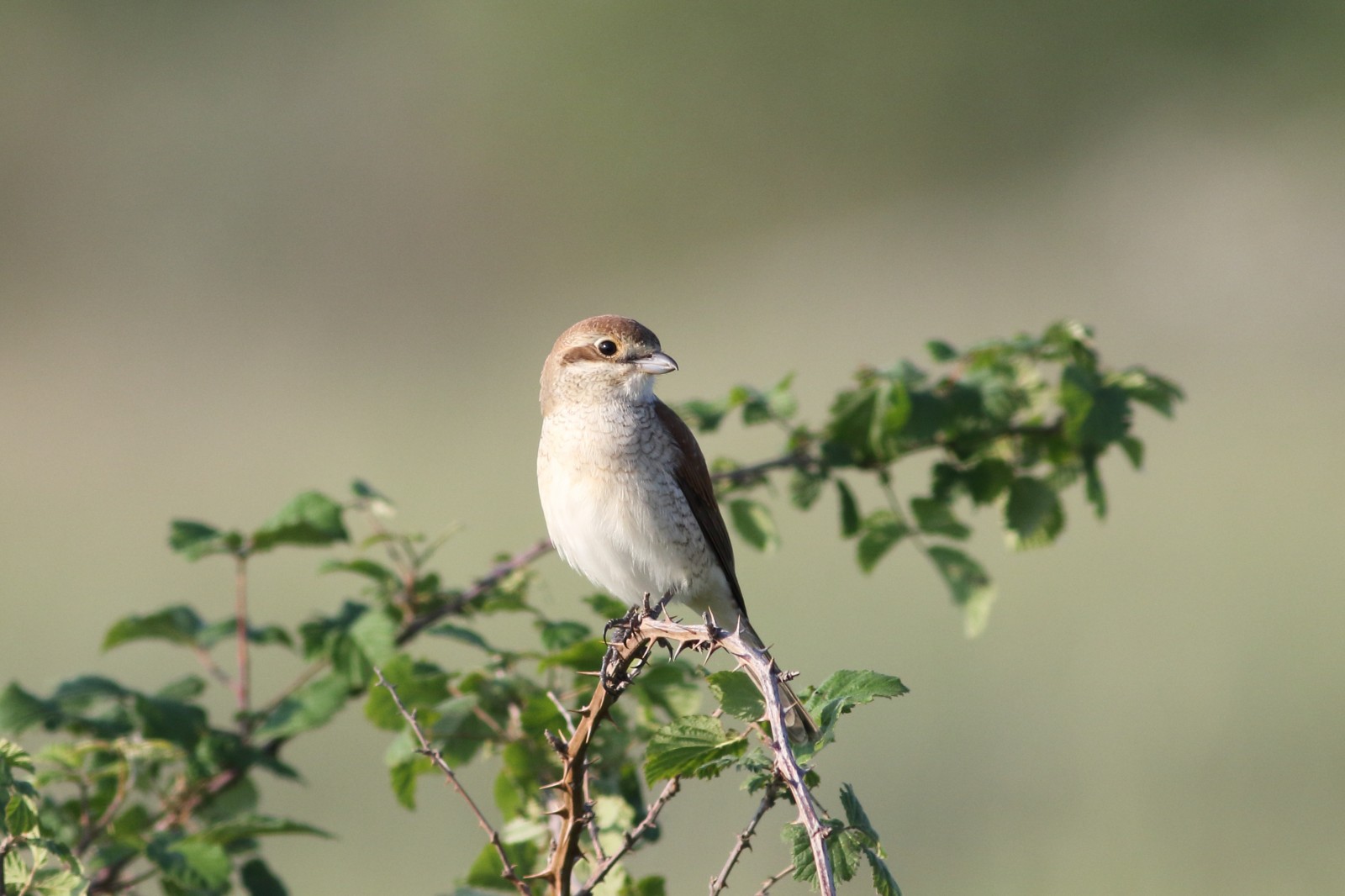
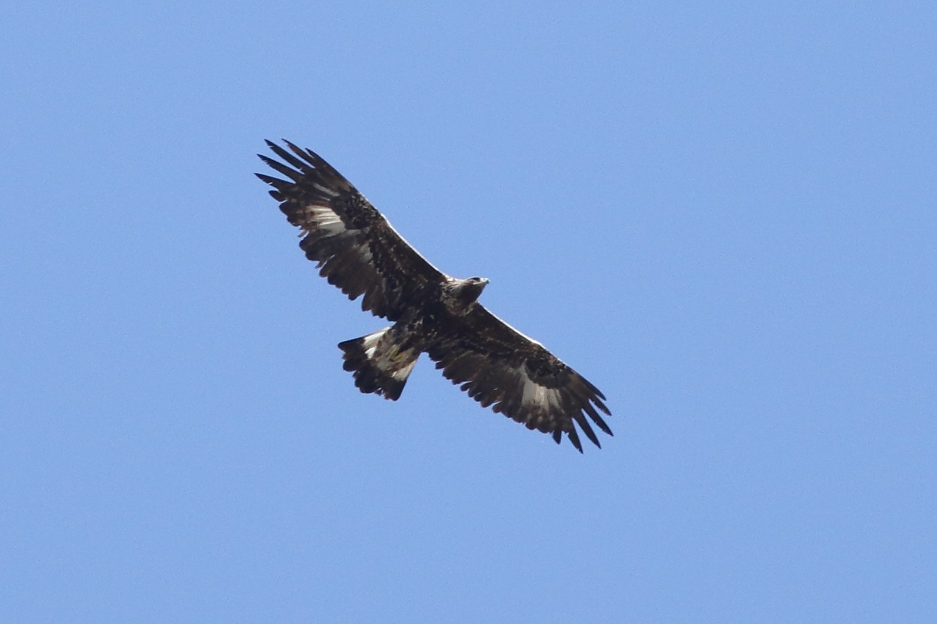
Other breeding species are Hop, Wielewaal, Bijeneter, Roodborsttapuit, Grauwe Klauwier, Kleine Klapekster. In the various seasons of the year it is also possible to see many species of birds of prey such as Blauwe Kiekendief, Grauwe Kiekendief, Slangenarend, Steenarend, Havik, Smelleken, Slechtvalk and Wespendief.
_________________________
Italiano: I Magredi di Cordenons sono un'ampio territorio costituito da landa steppica e radi arbusti, che si sviluppa ai margini del greto del fiume Cellina. Si tratta di un'area unica in Italia nel suo genere, che richiama in qualche modo le steppe ungheresi, con cui ha in comune anche un certo tipo di vegetazione. Il sito fa parte della rete Natura 2000. E' il sito più importante in ITalia del Nord Est per la nidificazione dell' Griel e di altre specie sempre più rare Veldleeuwerik, Boomleeuwerik, Duinpieper; negli ultimi anni nell'area hanno nidificato anche Scharrelaar, Kortteenleeuwerik e Zwartkopgors.
Altre specie nidificanti: Hop, Wielewaal, Bijeneter, Roodborsttapuit, Grauwe Klauwier, Kleine Klapekster. Nelle varie stagioni dell'anno è possibile anche vedere molte specie di rapaci come Blauwe Kiekendief, Grauwe Kiekendief, Slangenarend, Steenarend, Havik, Smelleken, Slechtvalk, Wespendief.
Details
Toegang
Access to the area itself is forbidden to cars and therefore the best way to visit it is to approach the area via farm roads and then move on foot. The map below shows two entrances: one from the SanQuirino Biotope and one from the North, along the SP53 road that connects SanFoca with Vivaro. Click on a P in the map to get directions to the parking of your choice.
_________________________
Italiano: L'accesso all'area vera e propria è interdetta alle auto e quindi il modo migliore per visitarla è avvicinarsi all'area tramite stradine poderali e poi muoversi a piedi. Nella piantina allegata sono riportati due accessi: uno dal Biotopo di SanQuirino ed uno da Nord, lungo la strada SP53 che collega SanFoca con Vivaro.
Terrein en leefgebied
Vlakte , Verspreide bomen en struiken , SteppeOmstandigheden
Vlak , Droog , Open landschap , Geen schaduwRondlopende wandeling mogelijk?
NeeTelescoop meenemen?
Kan handig zijnWanneer hier vogels kijken?
LenteToptijd voor dit gebied
Lente , Voorjaarstrek , NajaarstrekRoute
Onverharde wegZwaarte wandeling
GemakkelijkToegankelijk via
Te voetVogelkijkhut aanwezig?
NeeExtra info
The area is subject to military activity, so access to some areas is prohibited on days when there are exercises.
_________________________
Italiano: La zona è sottoposta a servitù militare, per cui nelle giornate in cui ci sono esercitazione l'accesso ad alcune aree è vietato.


 ) om vogelnamen snel in te voeren via een aanklikbare lijst.