
Beschrijving
In the NSG Stilleking, habitats that have become very rare in the natural region Märkisches Oberland, including larger heath areas, are protected. Particularly characteristic of the natural area are, in addition to open land areas, smaller beech forests and alder forests accompanying streams. The former military training area forms an extensive nutrient-poor area and consists mainly of large-scale, hilly rough grassland complexes, which are divided by forest areas, wooded strips and groups of trees into individual areas, some of which are more than 500 m in diameter.
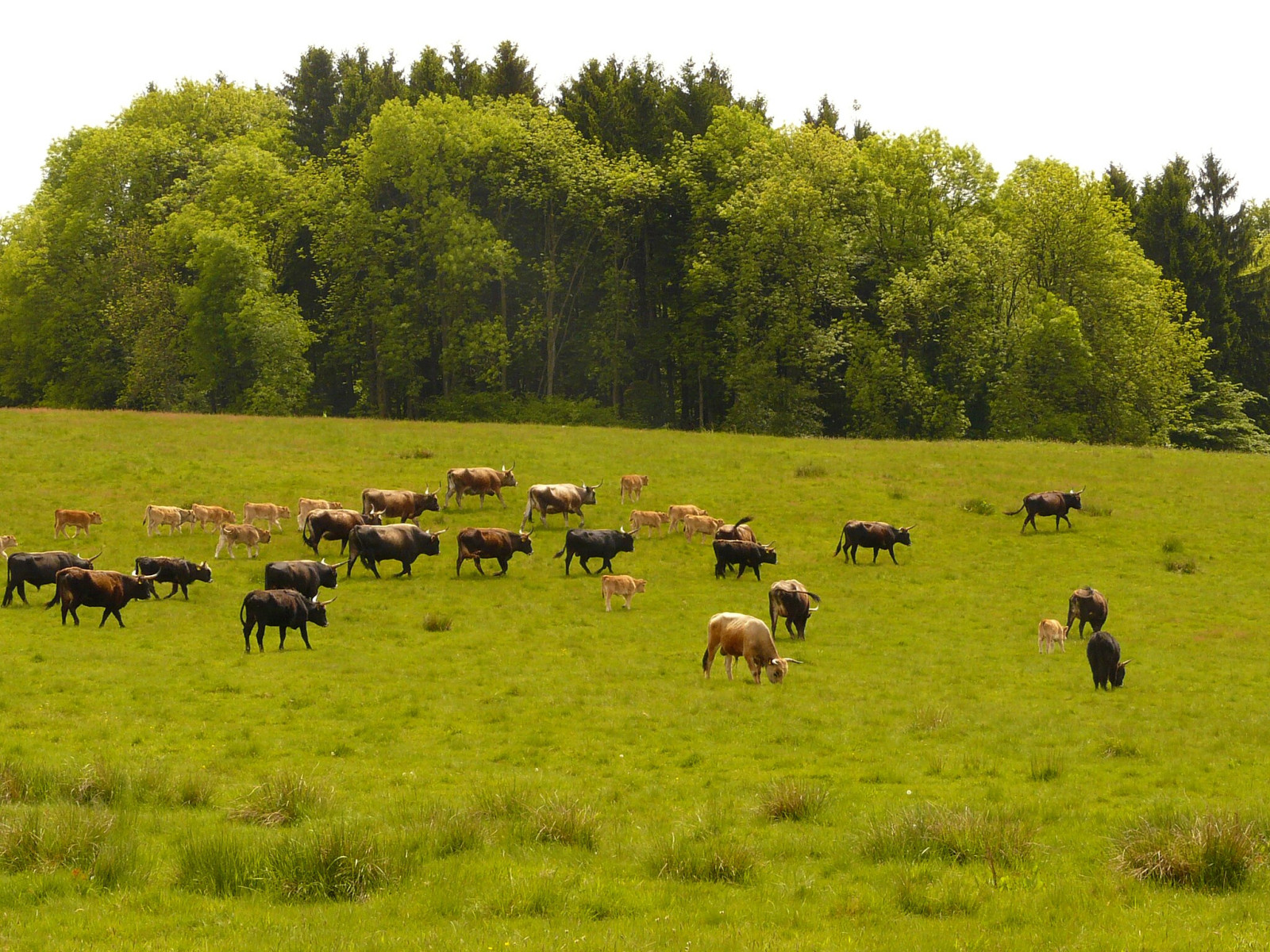
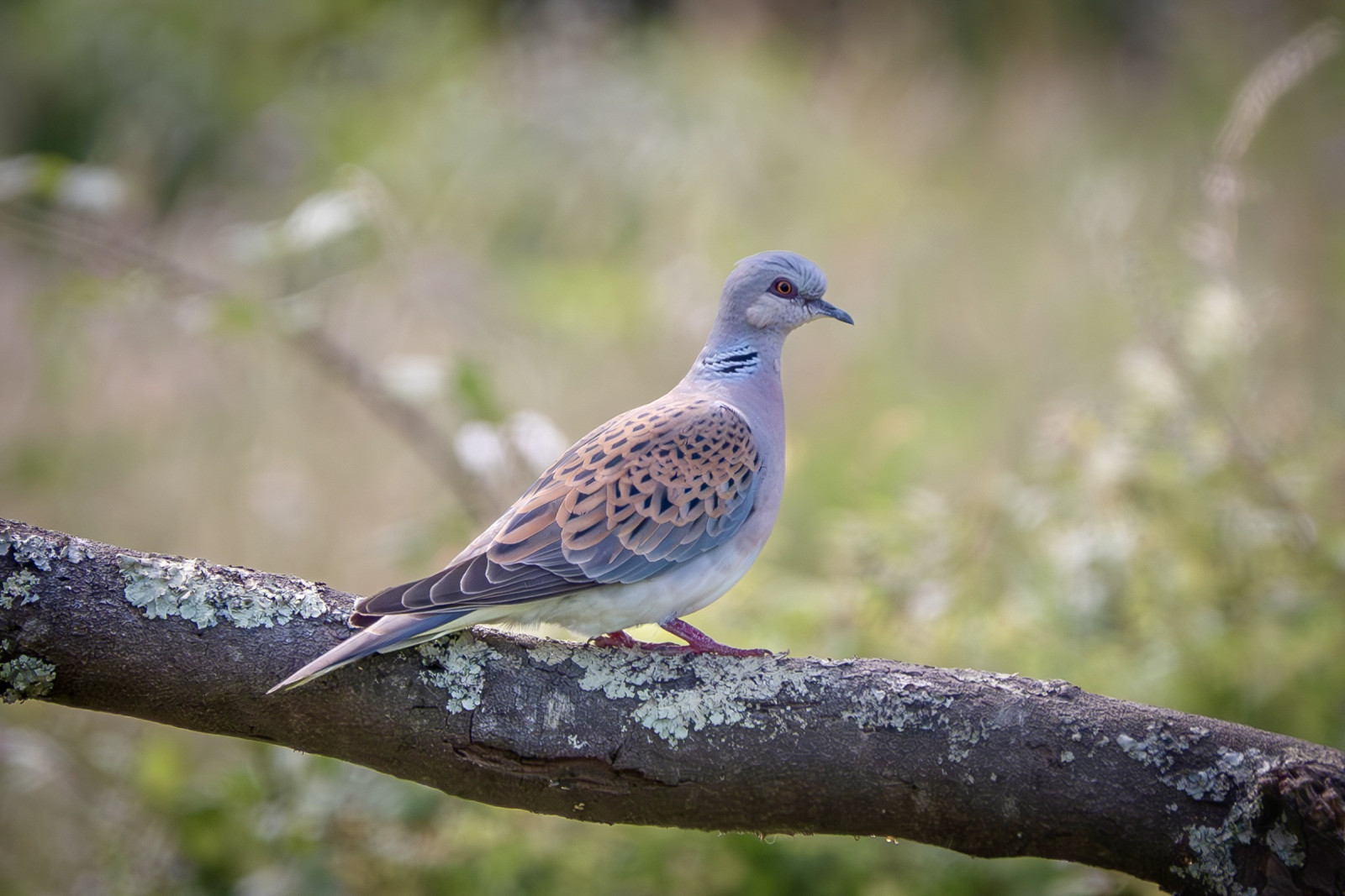
The range of the grassland areas extends from dry to stagnant and seepage wet. In addition, there are small-scale fragments of bristly grassland, dwarf shrub heaths and silicate dry grasslands. As a result of abandonment of use, almost all of the rough grassland biotopes are more or less spent, in places species-poor stages of acidophilic fringe communities have developed. In 2003, however, most of the land was fenced off as extensive cattle pasture. The rest of the areas is grazed with sheep. In addition to near-natural meandering stream channels, some small standing water bodies can be found. The elevated headwaters of the Grüner Siepen form an extensive wetland area with some shallow small water bodies. The Hemecke valley to the east and the Schibbecke valley to the west are characterized by wet pastures and high herbaceous vegetation along the streams. The forest types of the area are dominated by woods of beech and spruce. In the partly siep-like stream valleys there is also alder-ash floodplain forest. Among the birds you can encounter are Holenduif, Grauwe Klauwier, Grote Bonte Specht, Grijskopspecht, Middelste Bonte Specht, Graspieper, Beflijster, Rode Wouw, Havik, Wespendief and Graspieper.
Details
Toegang
There are several parking lots around the area. Click on the P in the map for directions. Access is mostly on gravel paths, some are quite steep. Best to explore by foot. The circular walking route indicated in the map is about 8 km.
Terrein en leefgebied
Bos , Grasland/weide , Verspreide bomen en struikenOmstandigheden
Heuvelachtig , Open landschapRondlopende wandeling mogelijk?
JaTelescoop meenemen?
NeeWanneer hier vogels kijken?
Het hele jaarToptijd voor dit gebied
LenteRoute
Breed padZwaarte wandeling
GemiddeldToegankelijk via
Te voetVogelkijkhut aanwezig?
NeeExtra info
Photo grazing cattle in Stilleking by Ökologix, CC BY-SA 3.0, https://creativecommons.org/licenses/by-sa/3.0, via Wikimedia Commons.


 ) om vogelnamen snel in te voeren via een aanklikbare lijst.