Upload foto's
Toegestane afbeeldingstypen zijn jpeg, png, gif
Maximale bestandsgrootte 20MB
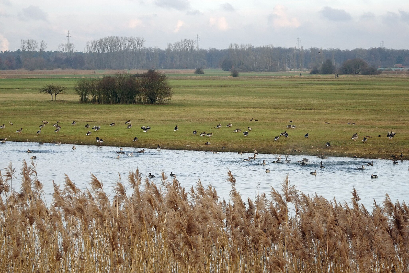
A floodplain area on the lower reaches of the Gersprenz stream with habitat for many bird species, including migratory birds.
The Hergershäuser Wiesen are a floodplain area of approximately 400 hectares and characterized by many different habitats; wet, dry and sandy. Large areas are irrigated with a wind pumping station and several temporary water-retaining ponds and extensive wet meadows are created. NABU Münster (Hesse) has been committed to protecting and caring for these valuable areas for decades and makes the area accessible through a marked circular trail and guided hikes.
Hergershäuser Wiesen is located between Münster, Altheim and Hergershausen. It is easy to explore the area from these places. Press a P in the map for directions to a parking spot. In addition, one of the trails starts from Altheim train station. If you walk all the trails that are shown on the map it is a distance of 11 km, but it is of course easy to make the walk shorter.
Deze feedback wordt verzonden naar de auteur van het gebied en de redactie van Birdingplaces. Zij gebruiken de feedback om de kwaliteit van de informatie te verbeteren. Wil je een zichtbare reactie plaatsen? Klik dan dit kader weg en gebruik aub de knop 'Plaats reactie' onderaan de gebiedspagina.
Help mee de informatie en de beschrijving van dit gebied te verbeteren.
Help mee de kwaliteit van de informatie op de kaart bij dit gebied te verbeteren.
Help mee de kwaliteit van de vogellijst bij dit gebied te verbeteren. (Wil je waarnemingen delen? Klik dan dit kader weg en gebruik aub de knop 'Plaats reactie of waarnemingen' onderaan de gebiedspagina)
Klik op het vogel icoontje () om vogelnamen snel in te voeren via een aanklikbare lijst.