Beschrijving
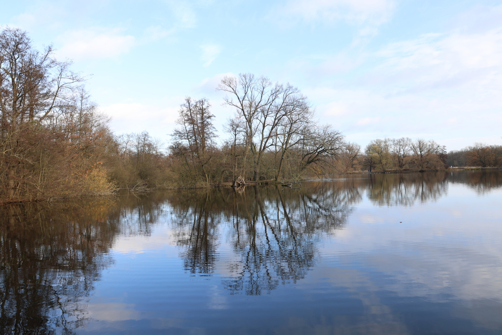
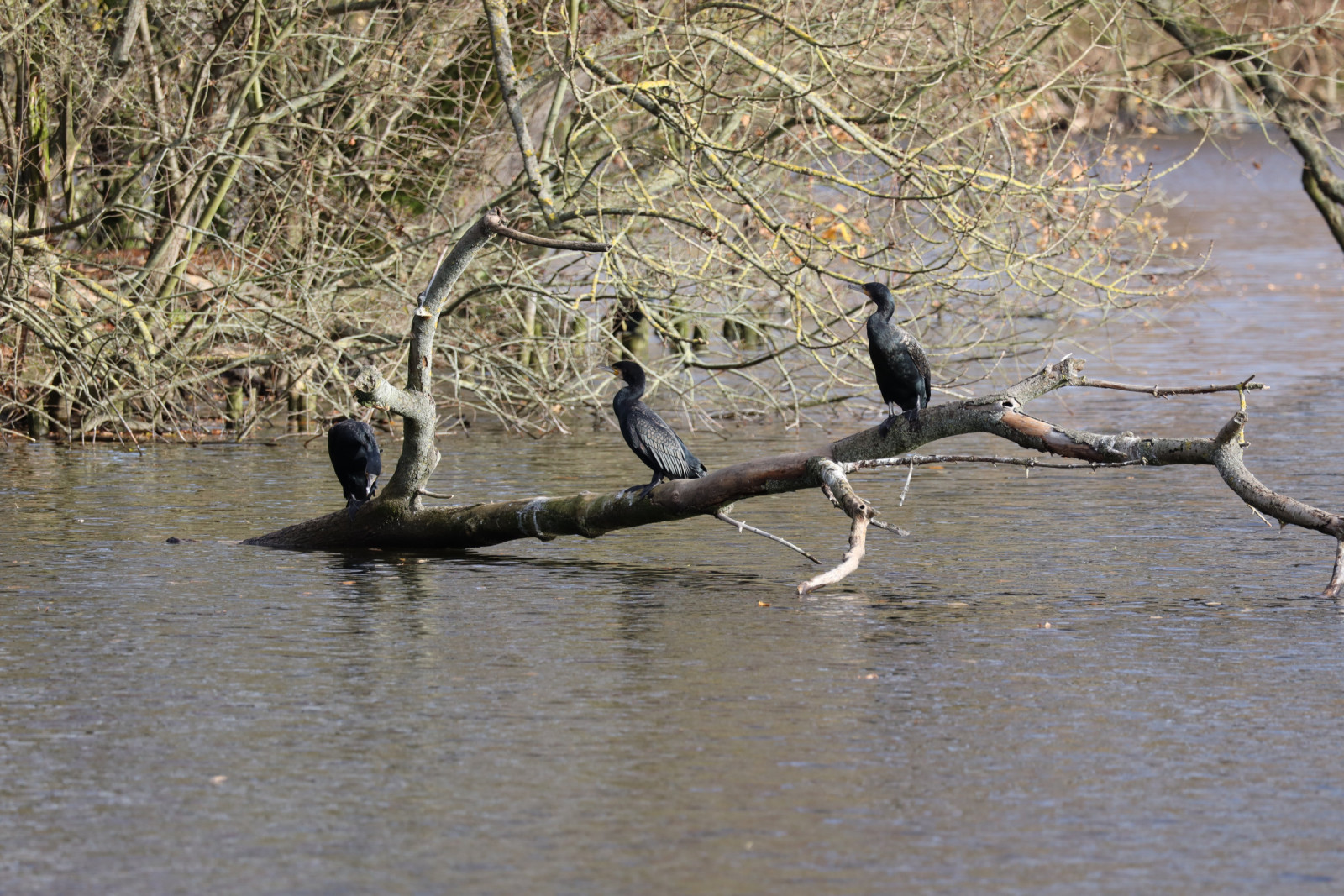
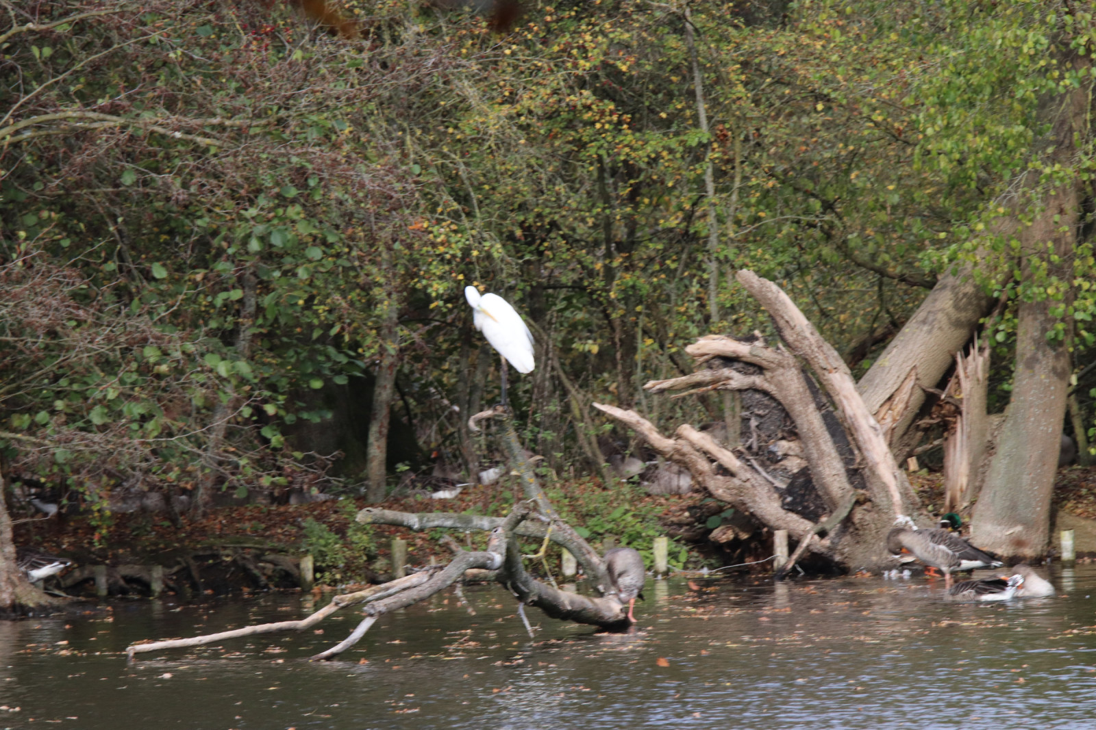
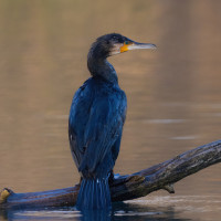
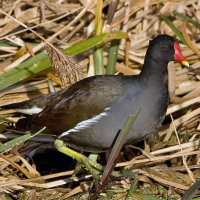
The Annateich consists of 2 areas connected by canals. The water surface is 7.7 hectares and the maximum depth is 2 m. The area is home to numerous water birds such as Grauwe Gans, Aalscholver, Blauwe Reiger, Grote Zilverreiger, Wilde Eend, Fuut, Meerkoet and Waterhoen. The rest of the park also offers good bird watching opportunities. A total of around 50 species have been identified, including Nachtegaal and Buidelmees.
Details
Toegang
The Hermann-Löns-Park is located 4 km east of the Hannover city center. You can reach the park from several sides. The easiest way to get there is from the car park in front of the outdoor swimming pool. Or you can park at the "Alte Mühle" restaurant. Press a P on the map for directions to a car park. The Hermann-Löns-Park is also very easy to reach by public transport. Stop "Annastift" on the tram line 5 or stop "Karl-Wichert-Allee" on the S-Bahn lines S3, S6 and S7.
Terrein en leefgebied
Vijver , Meer , Park , Stad/dorp , Verspreide bomen en struiken , Grasland/weide , Bos , WetlandOmstandigheden
Vlak , Open landschapRondlopende wandeling mogelijk?
JaTelescoop meenemen?
Kan handig zijnWanneer hier vogels kijken?
Het hele jaarToptijd voor dit gebied
LenteRoute
Breed padZwaarte wandeling
GemakkelijkToegankelijk via
Te voet , Fiets , RolstoelVogelkijkhut aanwezig?
NeeExtra info
Feeding the birds is not permitted. Anglers often sit on the banks.


 ) om vogelnamen snel in te voeren via een aanklikbare lijst.