

Beschrijving
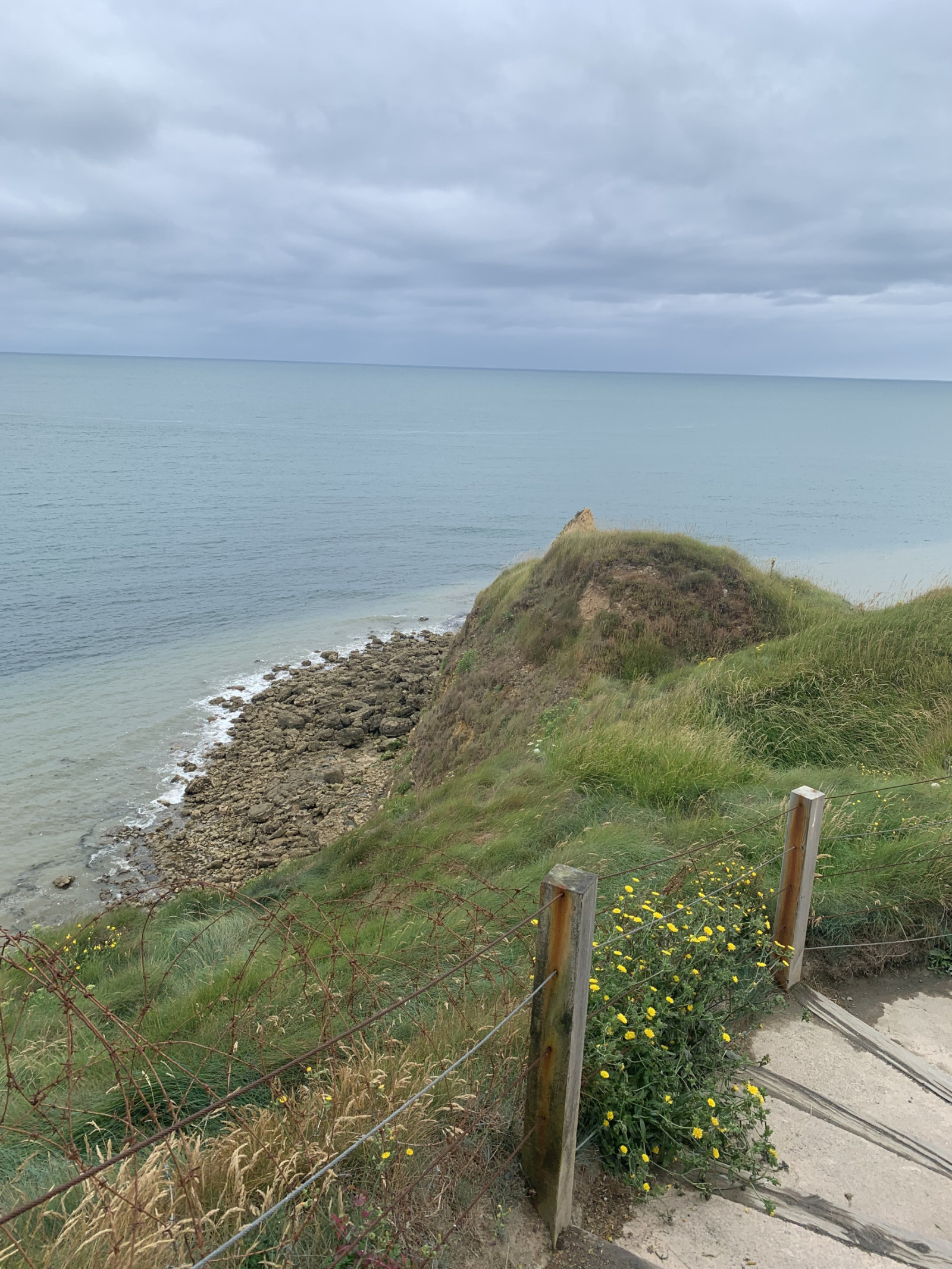
Pointe du Hoc is a prominent cliff on the coast of Normandy that played a significant role during World War II, particularly during the D-Day landings on June 6, 1944. Today, Pointe du Hoc is a memorial site, with remnants of the bunkers and bomb craters still visible.
In the first part of the circular walking route shown on the map you can observe songbirds such as Kneu or Graspieper and many other species. Along the coast you can observe Drieteenmeeuw, Zeekoet and many other seabirds. A good place for seawatching!
Details
Toegang
Pointe du Hoc is located on the northwestern coast of Normandy situated between Omaha Beach and Utah Beach. There is a big parking lot for visitors. Press P on the map for directions to the parking. The circular walking route shown on the map is about 1,5 km.
Terrein en leefgebied
Grasland/weide , Zee , DuinenOmstandigheden
Zanderig , Geen schaduw , Heuvelachtig , StoffigRondlopende wandeling mogelijk?
JaTelescoop meenemen?
Kan handig zijnWanneer hier vogels kijken?
Het hele jaarToptijd voor dit gebied
Lente , HerfstRoute
Breed padZwaarte wandeling
GemakkelijkToegankelijk via
Te voet , RolstoelVogelkijkhut aanwezig?
NeeExtra info
On D-Day, the United States Army Rangers, led by Lieutenant Colonel James Earl Rudder, scaled the 30-meter-high cliffs to capture the German positions. Despite facing heavy resistance and difficult terrain, the Rangers successfully took control of the area, which was crucial for the success of the Normandy landings.


 ) om vogelnamen snel in te voeren via een aanklikbare lijst.