

Beschrijving
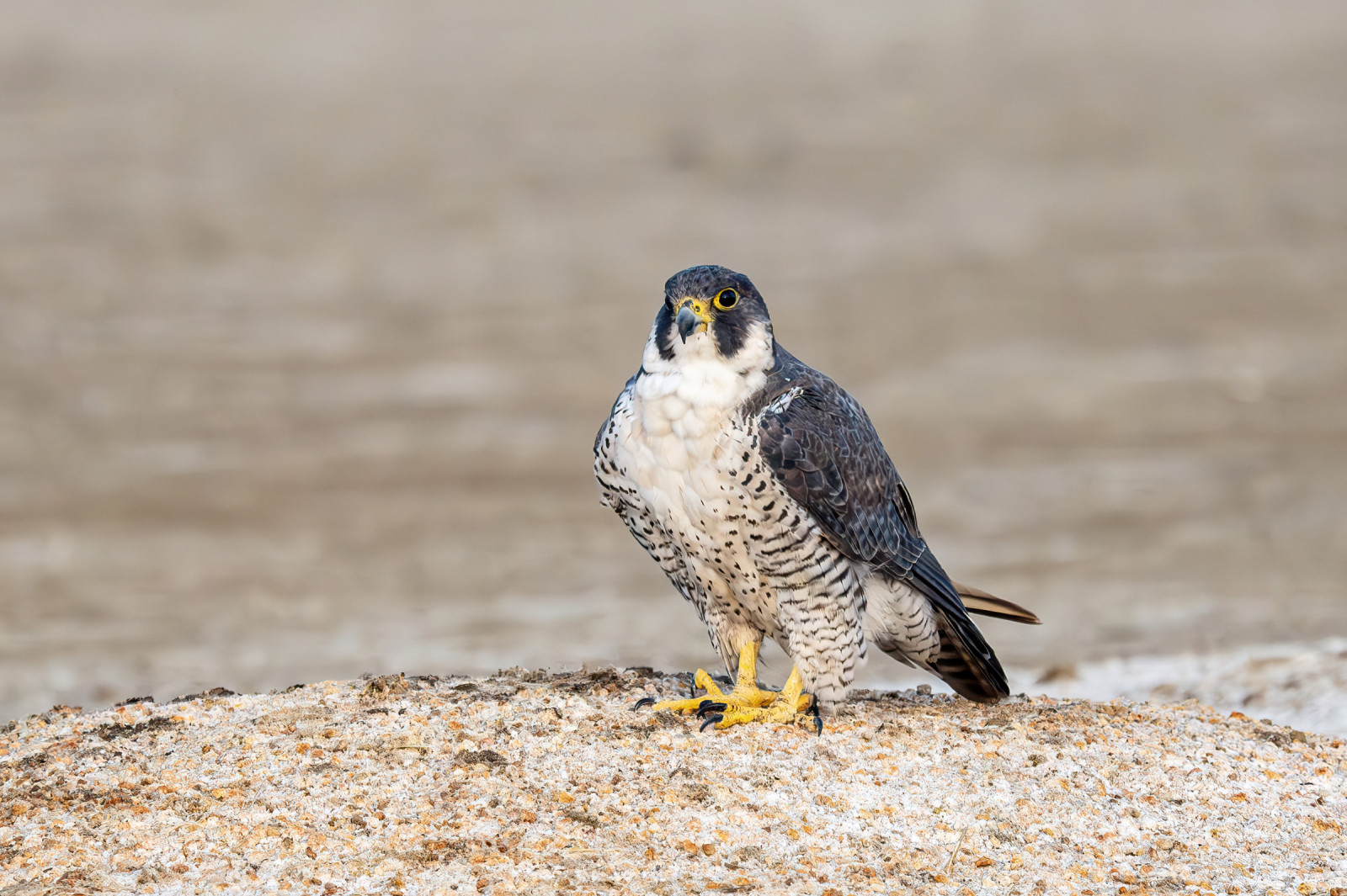
With an altitude of 350 m, Cap Sicié has unique geographical characteristics. It is an interesting site for observing seabirds, whales and the passage of post-nuptial migration. The vegetation is rich and of the maquis type, contrasting with the scrubland of the Toulon mountains.
_________________________
Français: Le Cap Sicié est le cap le plus avancé de la cote méditerranéenne. Il domine ce secteur du littoral à 350 mètres. Il se trouve sur le passage des oiseaux migrateurs.
Details
Toegang
The southern position and altitude make Cape Sicié a strategic point for migratory bird watching. Position yourself at the chapel of Notre-Dame-du-Mai from where you will enjoy a panoramic view from the Hyères Islands to the east, the islands of Marseille to the west and the Sainte-Baume massif to the north. On weekends, during the full period of post-nuptial migration between the end of August and mid-October, you can ask observers for information.
_________________________
Français: La position méridionale et l’altitude font du Cap Sicié un point stratégique pour l’observation des oiseaux migrateurs. Postez-vous à la chapelle de Notre-Dame-du-Mai d’où vous bénéficierez d’un point de vue panoramique depuis les îles d’Hyères à l’Est, les îles de Marseille à l’Ouest et le massif de la Sainte-Baume au Nord. Les Week-end, durant la pleine période de la migration post-nuptiale entre la fin du mois d’août à la mi-octobre, vous pourrez demander des renseignements aux observateurs qui suivent le retour des oiseaux vers leurs quartiers d’hiver.


 ) om vogelnamen snel in te voeren via een aanklikbare lijst.