

Beschrijving
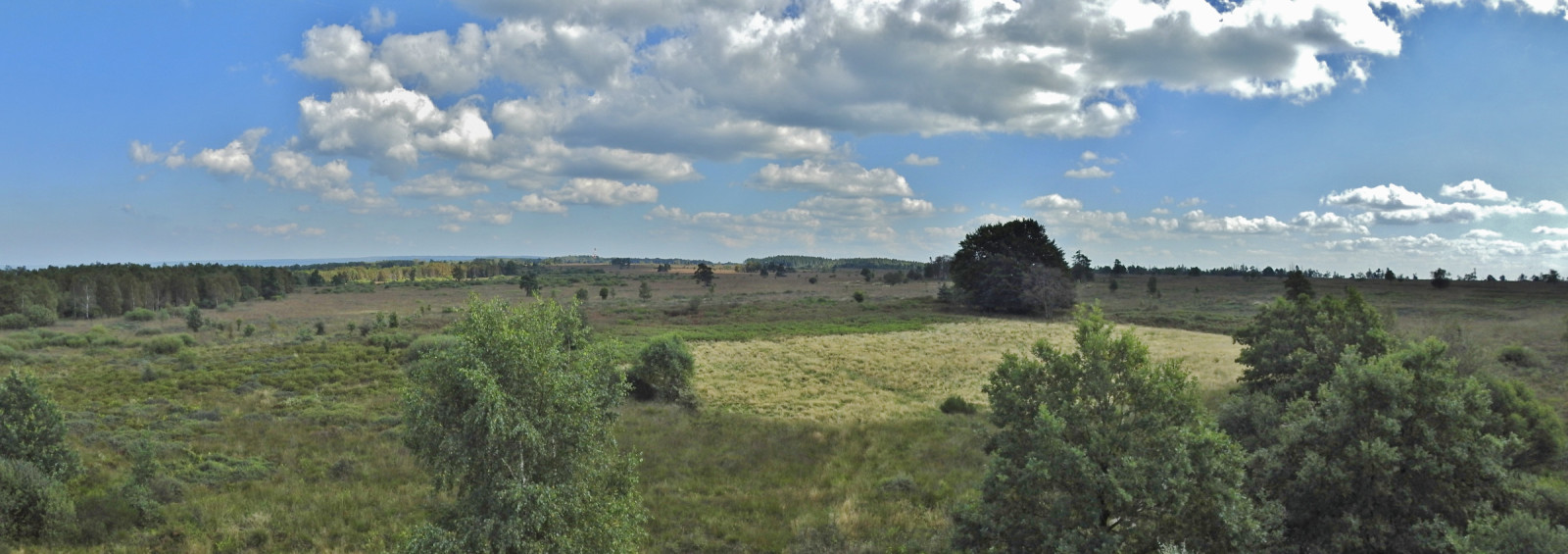
Fagne de Malchamps is a peat area on a plateau with a height of up to 576 meters in the High Ardennes in the Belgian province of Liège. It consists of heather, marsh and forests. It's a very open area. It stretches across the plain. Here and there are also a number of isolated trees. The area covers 358 hectares with a length of about 3 kilometers and a width of just over a kilometer. The peat can be considered as the westernmost part of the High Fens (Haute Fagne/Hoge Venen), which is about ten kilometers away. Many different birds live in the heathland such as Nachtzwaluw, Graspieper, Boompieper, Roodborsttapuit, Sprinkhaanzanger, Grasmus, Fitis, Boomleeuwerik and the Koekoek . Naturally, many forest birds and birds of prey also live in the adjacent forests. See the birdlist below.
Details
Toegang
There are several hiking trails through the area. The circular walk shown on the map is about 10 km and also takes you past the high lookout tower that offers a great view over the peat area. Click on the P in the map for directions.


 ) om vogelnamen snel in te voeren via een aanklikbare lijst.