Upload foto's
Toegestane afbeeldingstypen zijn jpeg, png, gif
Maximale bestandsgrootte 20MB
Tierra del Fuego National Park is a national park in the Argentinian part of Tierra del Fuego. It was established in 1960. The park is close to Ushuaia.
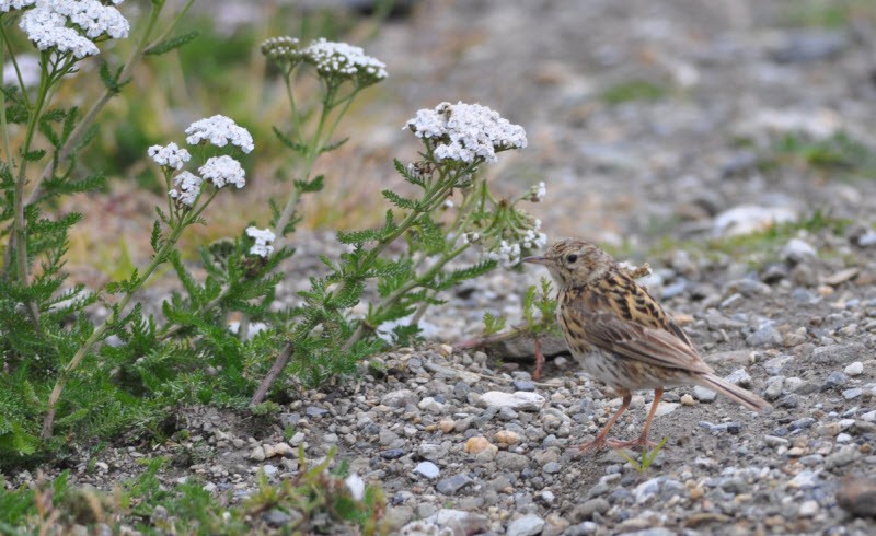
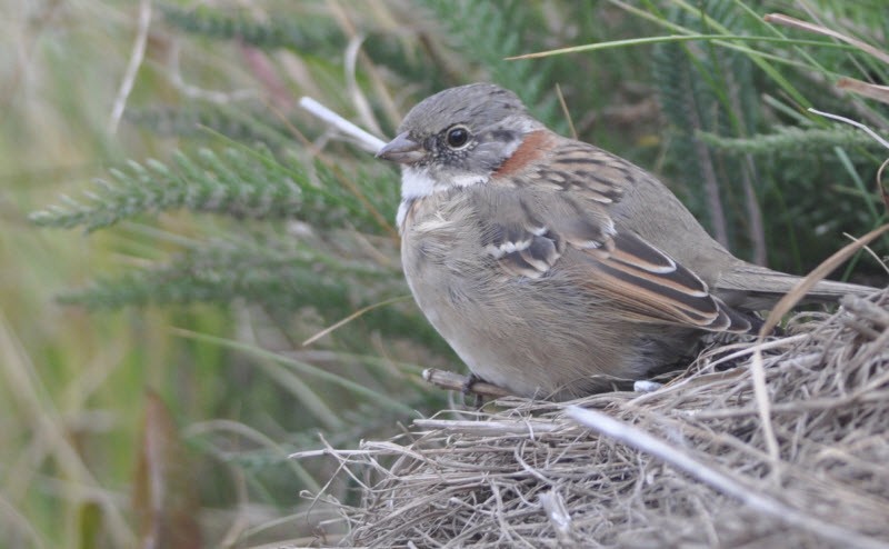
Tierra del Fuego National Park extends for 60 km north of the Beagle Channel, along the border with Chile. The park has an area of approximately 630 km² and includes parts of Lake Fagnano and Roca at Lapataia Bay on the south coast. The park contains waterfalls, forests, mountains and glaciers. There are about 90 bird species such as the Kelp goose, shelduck ducks, Andean condors and oystercatchers. Some walks include the Senda Castorera, Paseo del Mirador, Paseo del Turbal, Senda Laguna Negra, Senda Pampa Alta, Senda Cerro Guanaco and the Senda da Costera. Some of these walks are indicated on the map. Click a P in the map for directions to a starting point.
You'll probably arrived by plane and left for the Falkland Islands and Antartica, so walk into the area from the boat dock.
Deze feedback wordt verzonden naar de auteur van het gebied en de redactie van Birdingplaces. Zij gebruiken de feedback om de kwaliteit van de informatie te verbeteren. Wil je een zichtbare reactie plaatsen? Klik dan dit kader weg en gebruik aub de knop 'Plaats reactie' onderaan de gebiedspagina.
Help mee de informatie en de beschrijving van dit gebied te verbeteren.
Help mee de kwaliteit van de informatie op de kaart bij dit gebied te verbeteren.
Help mee de kwaliteit van de vogellijst bij dit gebied te verbeteren. (Wil je waarnemingen delen? Klik dan dit kader weg en gebruik aub de knop 'Plaats reactie of waarnemingen' onderaan de gebiedspagina)
Klik op het vogel icoontje () om vogelnamen snel in te voeren via een aanklikbare lijst.