Description
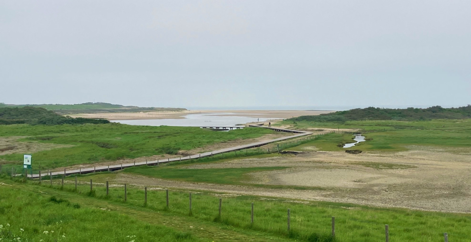
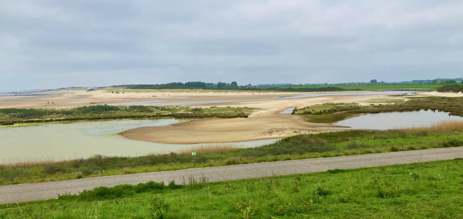
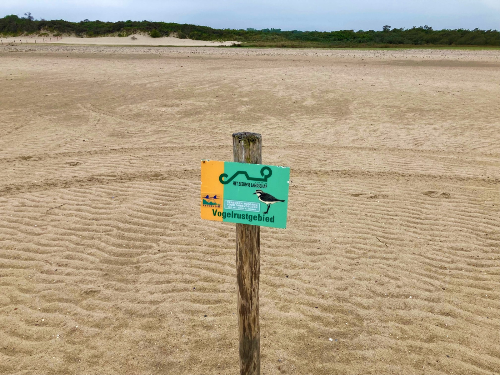
The Verdronken Zwarte Polder has mudflats, salt marshes and dunes and a great diversity of birds. In 1802 the polder flooded and the area owes its name to that. A large creek now runs through the area and the water flows through a pattern of creeks further into the area. You walk through this special creek pattern via a boardwalk. The Verdronken Zwarte Polder is a protected nature reserve: the western part of the beach is closed during the breeding season (May 1 to July 15).
_________________________
Nederlands: De Verdronken Zwarte Polder heeft slikken, schorren en duinen en een grote diversiteit aan vogels. In 1802 overstroomde de polder en daar heeft het gebied de naam aan te danken. Een grote slufter loopt nu door het gebied en het water stroomt door een krekenpatroon verder het land in. Via een paar korte vlonders loop je door dit bijzondere krekenpatroon. Tijdens het broedseizoen (1 mei tot 15 juli) is het westelijke deel van het strand gesloten. Omdat het strand van dit natuurgebied in het zomerseizoen en tijdens vakanties veel mensen trekt, zijn er dan vaak beduidend minder vogels te zien.
Details
Access
The Verdronken Zwarte Polder is located near Nieuwvliet-Bad. There is a small parking lot on the Dwarsdijk (near the Zeedijk). Click on the P in the map for directions. From the parking lot you walk to the Zeedijk where you start the walking route. The walking route that has been set out is approximately 3 kilometers long. The area also has a good overview from the sea dike. Please note: at high tide parts of the area may be inaccessible.
_________________________
Nederlands: De Verdronken Zwarte Polder ligt bij Nieuwvliet-Bad. Er is een kleine parkeerplaats aan de Dwarsdijk (vlakbij de Zeedijk). Klik op de P in de kaart voor een routebeschrijving. Vanaf de parkeerplaats wandel je naar de Zeedijk waar je de wandelroute start. De wandelroute die is uitgezet is ca 3 kilometer lang. Vanaf de Zeedijk is het gebied goed te overzien. Let op: bij hoog water kkunnen delen van het gebied niet toegankelijk zijn.
Terrain and Habitat
Beach , Mud flats , Sea , Dunes , Scattered trees and bushesConditions
Open landscape , Sandy , High water possibleCircular trail
YesIs a telescope useful?
NoGood birding season
All year roundBest time to visit
Spring migration , Autumn migrationRoute
Narrow trailDifficulty walking trail
EasyAccessible by
FootBirdwatching hide / platform
NoExtra info
Don't forget to check out the Herdijkte Zwarte Polder. This is the shallow wetland with breeding islands on the other side of the dike, west of the Verdronken Zwarte Polder. Several bird species breed there. From the dike you can have a good overview of the Herdijkte Zwarte Polder, the area itself is not accessible.
_________________________
Nederlands: Vergeet niet ook de Herdijkte Zwarte Polder te checken. Dit is het ondiepe wetland met broedeilanden wat aan de andere kant van de dijk, ten westen van de Verdronken Zwarte Polder ligt. Meerdere vogelsoorten broeden daar. Vanaf de dijk kun je de Herdijkte Zwarte Polder goed overzien, het gebied zelf is niet toegankelijk.


 ) to insert bird names in your own language. The birdnames will automatically be translated for other users!