Descrizione
A north-facing valley in the Santa Rita Mountains with riparian woodland along an intermittent stream, bordered by mesquite, juniper-oak woodlands, and pine forests. Stretching alongside Madera River, a collection of seasonal streams meeting in the canyon, Madera Canyon features a riparian corridor that raises from the desert, with very hot temperatures in the summer, to its highest zone (above 2500m / 8000ft), where it is often about 17 degC / 30 degF cooler. It has been rated the third best birding location in the United States.
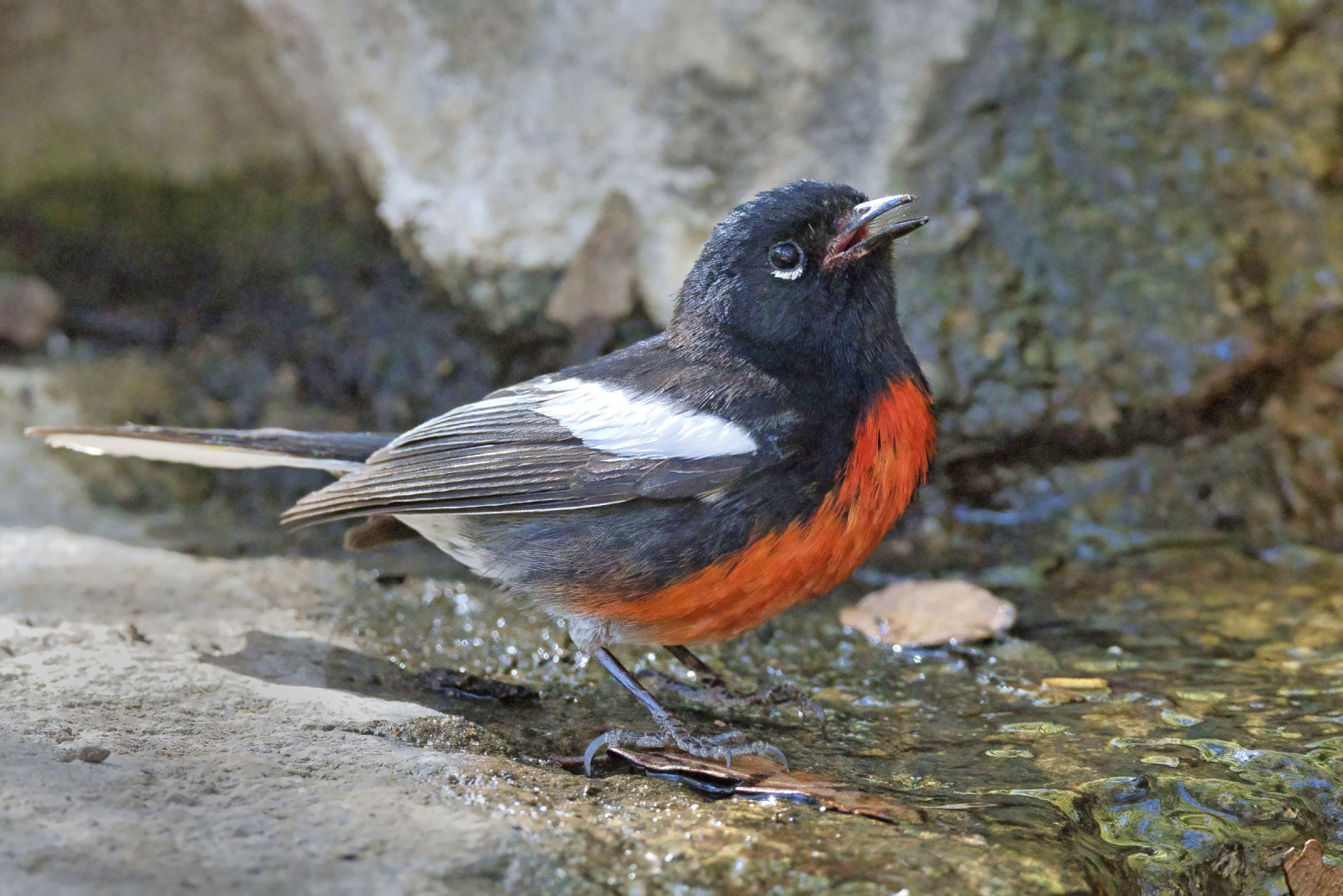
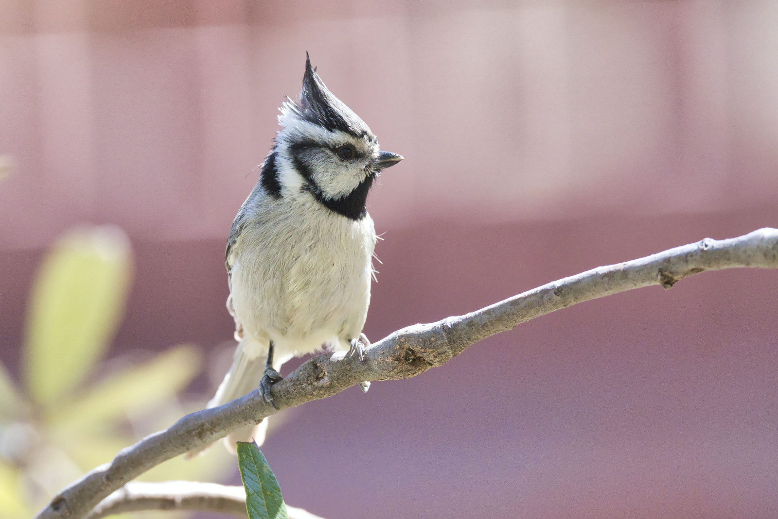
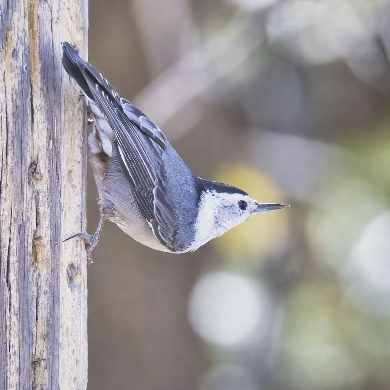
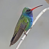
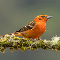
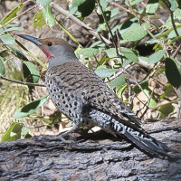
Which bird species you might encounter here depends somewhat on the altitude. They include 15 species of hummingbirds, as well as Sulphur-bellied Flycatcher, Black-capped Gnatcatcher, Elf Owl, Flame-colored Tanager, Red-faced Warbler, Painted Redstart, Mexican Jay, Acorn Woodpecker, Red-naped Sapsucker and Red-shafted Flicker. The elusive Elegant Trogon is also sometimes found here.
You may also meet other wildlife here, such as Coatis, Black Bears, Mountain Lions and Bobcats.
Dettagli
Accesso
Madera Canyon is located in the Santa Rita Mountains in Southern Arizona and accessed from Interstate I-19 about 30 miles south of Tucson and 30 miles north of Nogales, on the US / Mexico border. The entrance to Madera Canyon is about a 45-minute drive from Tucson, with another 10 or so minutes’ drive to the end of the road, where a large parking area and several trailheads await you. Press a P on the map for directions to a parking lot. The area at the end of the road tends to get very busy during weekends, so it is best to go during the week. At this point, you reached an elevation of about 1650m / 5400ft.
Hiking Old Bady Trail all the way to the top of Mount Wrightson, the highest peak in the Santa Rita Mountains at 2882m / 9456ft, is a strenuous 8.7 km / 5.4 mile (one way) challenge. However, there are lots of other trails, some of which aren’t all that steep and make for a more leisurely walk. Unfortunately, there is only one short circular trail, so you’ll probably want to go back-and-forth on most of them.
 ) per inserire i nomi delle specie nella tua lingua. I nomi delle specie verranno automaticamente tradotti per gli altri utenti!