.jpg)
Descrizione
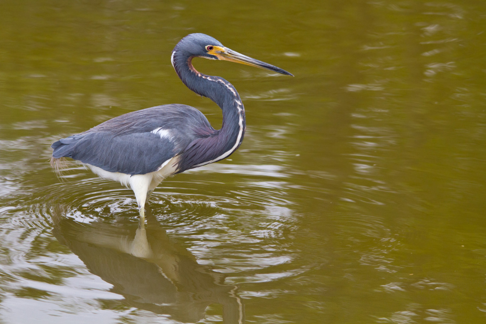
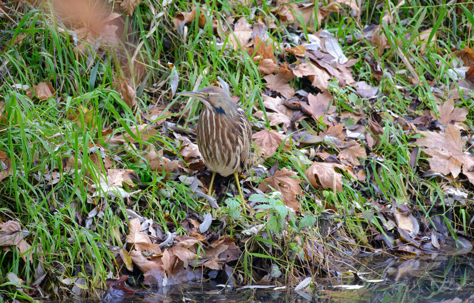
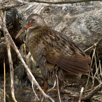
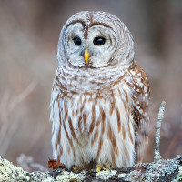
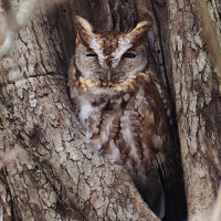
The Bombay Hook National Wildlife Refuge is a 15,978-acre (64.66 km2) National Wildlife Refuge located along the eastern coast of Kent County on Delaware Bay. It is Delaware's single best-known birding site and was established as a refuge and breeding ground for migratory and wintering waterfowl along the Atlantic Flyway. The refuge is mostly marsh but also has several freshwater impoundments, which are managed for migratory birds and other wildlife. You can drive an Auto Tour loop road, walk or bike around. There are several trails throughout the trip around, where you can park and walk.
Good spots to make a stop are the dike road, observation tower and boardwalk at Raymond Pool. The Leatherberry Flats salt marsh east of Shearness Pool. And the SE and NE corners of the large impoundment at Bear Swamp Pool.
Dettagli
Accesso
The entrance to the park is at 2591 Whitehall Neck Rd., Smyrna, DE 19977-2912. There is parking at the visitor center and at the various trailheads around the refuge. Click on a P in the map for directions to a parking. There is a fee for in state and out of state vehicles to enter the refuge. The entrance fee is $4.00 per car (2024). This fee grants you access to the refuge for the entire day. You can also purchase a Duck Stamp, which is valid for a year and allows you to enter the refuge freely during the refuge hours. If you plan to visit, you can pay your entrance fee (or purchase an annual pass) conveniently online before your visit. See the link below.
A new visitor center has opened up that is worth seeing and you can also find good birds around the visitor center. The visitor center is open daily year round from 9:00am to 4:00pm, weather and volunteer dependent. Pick up a copy of the Auto Tour pamphlet, which includes a detailed map, and much useful information. The refuge offers visitors a 12-mile wildlife drive, five walking trails (2 handicapped accessible) and three observation towers. Many people will park along the sides of the road by the freshwater impoundments and get out with their scopes, binoculars and cameras to view the various birds. The trails are fairly short but can give you even better views of both landbirds and waterbirds.
Terreno e habitat
Zona umida , Velme , Mare , Alberi e cespugli sparsi , ForestaCaratteristiche dell’area
Terreno piano , Paludoso , Acqua alta possibilePercorso ad anello
SiÈ utile un cannocchiale?
Può essere utileBuona stagione per il BW
Tutto l'annoMiglior periodo per visitare
Migrazione primaverile , Primavera , Migrazione autunnalePercorso
Strada sterrata , Sentiero strettoGrado di difficoltà del percorso a piedi
FacileModalità di accesso
A piedi , Bicicletta , MacchinaCapanno/torretta di osservazione
SiInformazioni aggiuntive
During the summer, the biting bugs are tough. It is highly recommended to bring bug spray and wear long sleeved shirts and long pants to protect you from the bugs.
Link
- Bombay Hook National Wildlife Refuge
- Ebird hotspot
- Online entrance fee Bombay Hook National Wildlife Refuge
- Photo Bombay Hook Wildlife refuge by U. S. Fish and Wildlife Service
 ) per inserire i nomi delle specie nella tua lingua. I nomi delle specie verranno automaticamente tradotti per gli altri utenti!