

Descrizione
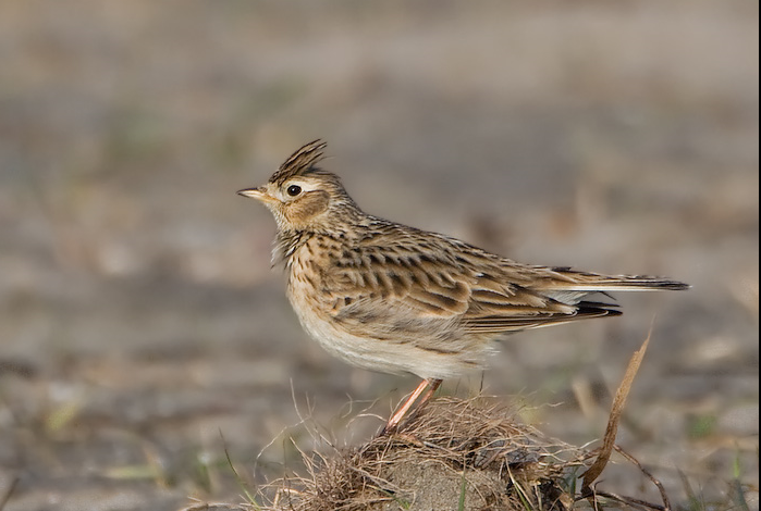
Worsthorne Moor is located east of Burnley and part of The South Pennine Moors. The moor provides habitat for birds such as Chiurlo maggiore, Allodola, Pispola, Fanello, Culbianco, Stiaccino and Falco pellegrino.
Dettagli
Accesso
Worsthorne Moor is located 2 miles (5 km) east of Burnley. The suggested 7,5 mile (12 km) circular walking route indicated on the map starts at Worsthorne Moor car park at the Long Causeway. Click on the P in the map for directions to the car park. The route gradually climbs up, joining a section of The Pennine Bridleway. It also reaches Hurstwood Reservoir and Cant Clough Reservoir. Some parts can get rather muddy during wetter months, so it is best to come prepared with appropriate footwear.


 ) per inserire i nomi delle specie nella tua lingua. I nomi delle specie verranno automaticamente tradotti per gli altri utenti!