
Descrizione
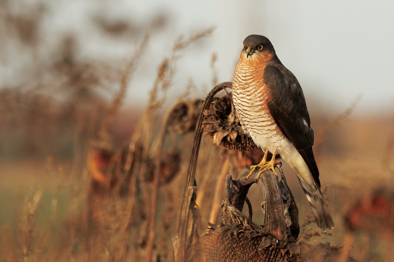
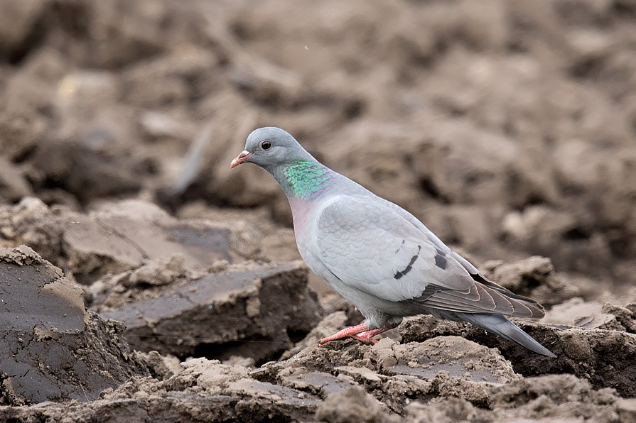
The whole walk involves small villages, narrow hedge lined farm roads, footpaths across farm fields with livestock and arable crops (DO NOT deviate from footpaths into crops), wider roads, small streams and small areas of woodland. Whilst most birds are common resident species such as Ballerina gialla, Poiana, Verdone, Zigolo giallo and Fanello, you have a good chance of seeing Colombella and Lucherino. During Summer Beccafico, Sterpazzola, Capinera, Codirosso, Rondine, Balestruccio and Rondone comune can be found.
Dettagli
Accesso
On M5 motorway leave at junction 27 signed Barnstaple/Tiverton A361. On large roundabout follow signs to Barnstaple/Tiverton A361, soon after leaving roundabout stay in Left hand lane, take Left slip road signed Sampford Peverell/Halberton/Parkway/DVSA Weighbridge. At next small roundabout take first exit signed Sampford Peverell/Halberton/Parkway, continue on A361 passing through Sampford Peverell. On leaving Sampford Peverell at next crossroads turn Right signed Uplowman/Huntsham, at next junction turn Left (unsigned). Continue on this road crossing over A361, this road now called Lowerman Cross, on entering Uplowman pass Village Hall (on Right) and park on road just before junction, alternatively use Village Hall small car park (if Hall not in use).
Terreno e habitat
Alberi e cespugli sparsi , Prateria/pascolo , Città/paese , Terreni coltivatiCaratteristiche dell’area
Collinoso , Paesaggio aperto , Scivoloso , PaludosoPercorso ad anello
SiÈ utile un cannocchiale?
Può essere utileBuona stagione per il BW
Tutto l'annoMiglior periodo per visitare
Primavera , Autunno , Migrazione autunnale , Migrazione primaverile , EstatePercorso
Strada asfaltata , Sentiero ampio , Strada sterrata , Sentiero strettoGrado di difficoltà del percorso a piedi
Difficoltà mediaModalità di accesso
A piedi , Bicicletta , MacchinaCapanno/torretta di osservazione
NoInformazioni aggiuntive
The walk indicated on the map is about 9 km long.


 ) per inserire i nomi delle specie nella tua lingua. I nomi delle specie verranno automaticamente tradotti per gli altri utenti!