
Descrizione
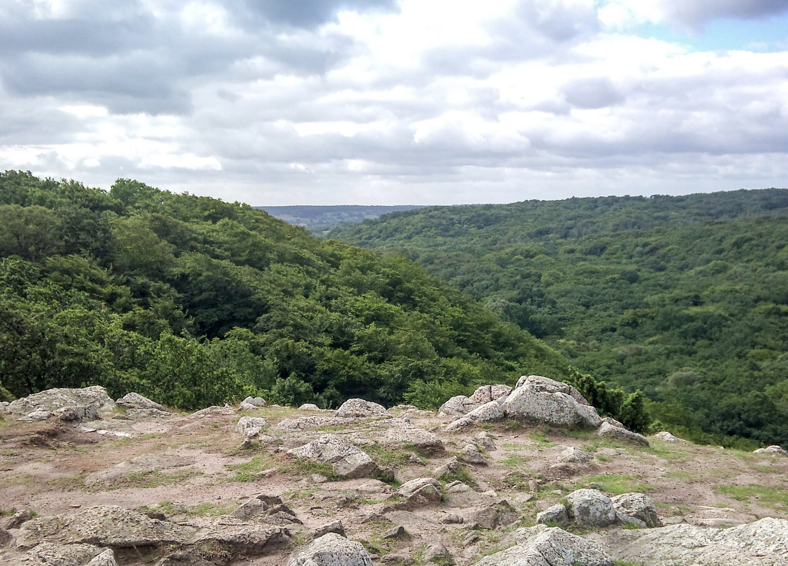
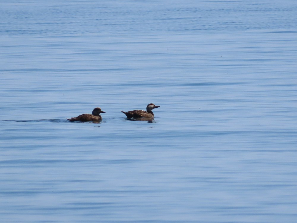
Stenshuvud is a hill in the southeastern corner of Sweden. Since 1986, it is one of the National parks of Sweden. The park covers an area of about 400 hectares. The hill is 97 m high and faces the Baltic Sea. Since the surrounding landscape is relatively flat, it can be seen from a great distance. Most of the area is covered with broadleaf forest, but the park also contains heaths, meadows, beaches and marshes. You can take a very nice walk through the forest, the rocky coast, the heath and the beach. If you are lucky you will find birds such as Calandro en Usignolo maggiore.
Dettagli
Accesso
Stenshuvud National Park is located on the east coast of Skåne, just south of Kivik and about 15 km north of Simrishamn. From road 9 there are signs to the main entrance, where you will also find the Naturum visitor centre (open daily during summer and Tuesday - Sunday in spring and autumn. Closed from December until February). Press P on the map for directions. From Kivik there also are signs to the north entrance.
If you do not have access to a car, you can ride by bus, Skåneexpressen number 3. The walk from the “Mellby skola” bus stop is about three kilometres. From the bus stop, walk to the left by the red fence up towards the village of Svinaberga. There are signs from there to the national park.
The circular walk indicated on the map is about 8.5 km. Note: If you visit the area in the summer, it can be busy with bathers.


 ) per inserire i nomi delle specie nella tua lingua. I nomi delle specie verranno automaticamente tradotti per gli altri utenti!