Descrizione
Soto de las Juntas is located in the Parque Regional del Sureste. This lake is part of the many lakes that are dotted around the southeast of Madrid. However, the singularity of this one is based on the riparian forest, in a great state of conservation and density, that covers the whole area. Another distinctive landmark is the joining of the rivers Manzanares and Jarama at the north of the lake. As they enclose the proper lake, they create a wet, isolated area, very different to the agricultural and steppe environment that is characteristic of the zone.
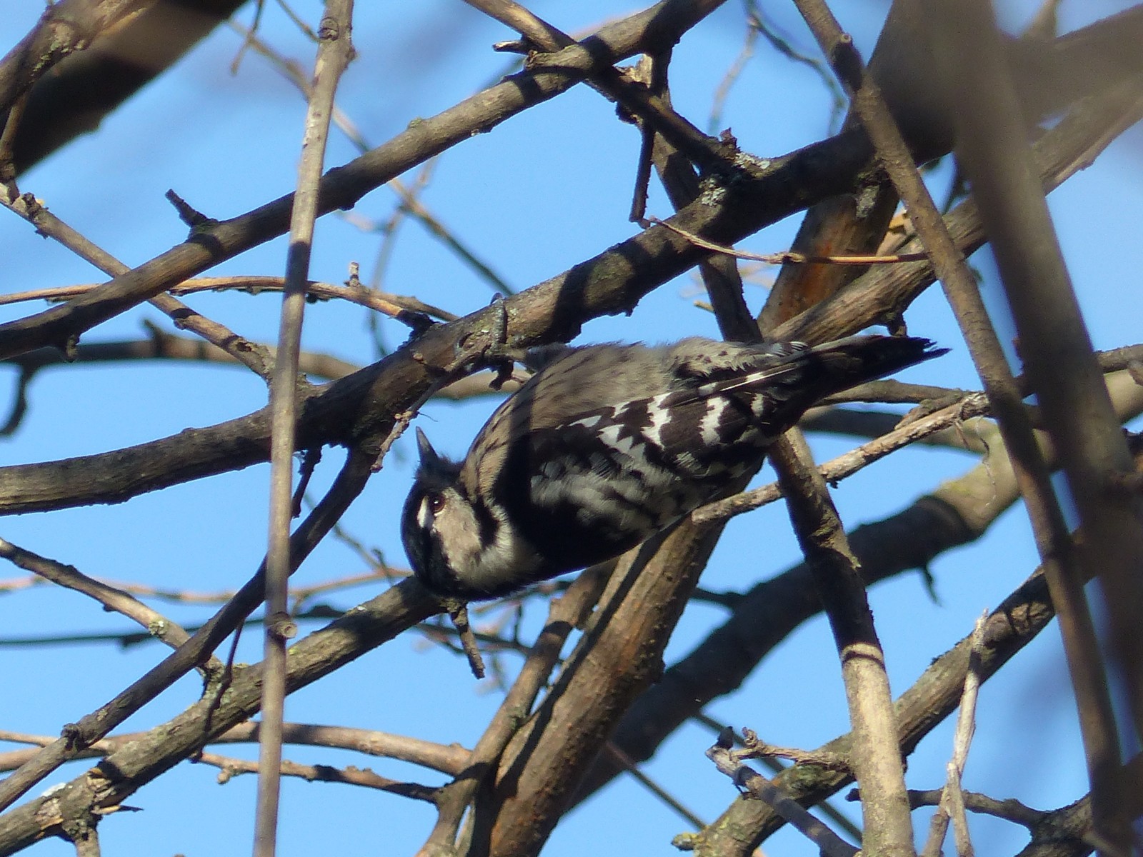
This, added to the sandstone cliffs that range all over the eastern side of the Manzanares river, makes this area a great place to find a great variety of birds, both typical of wetlands and forests, as well as steppes. Among these you can find the stunning Fistione turco, the noisy Cannareccione and the mighty Falco di palude.
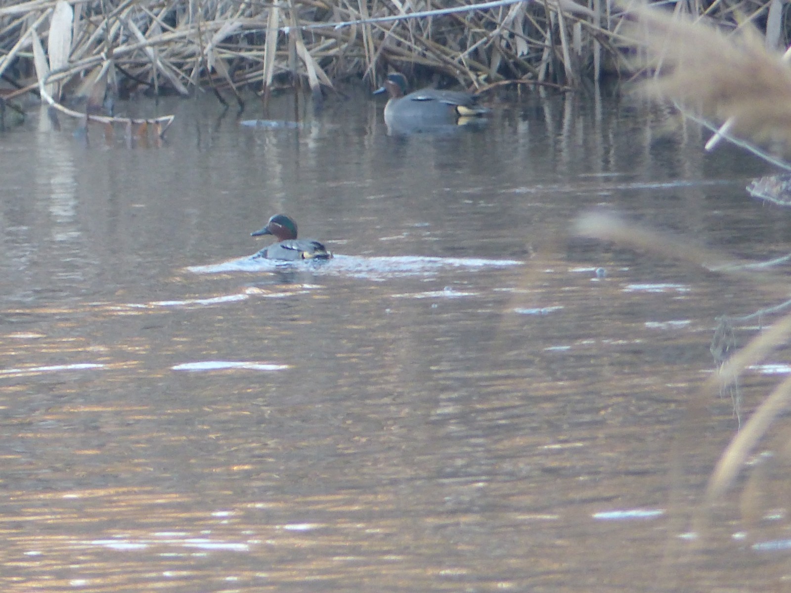
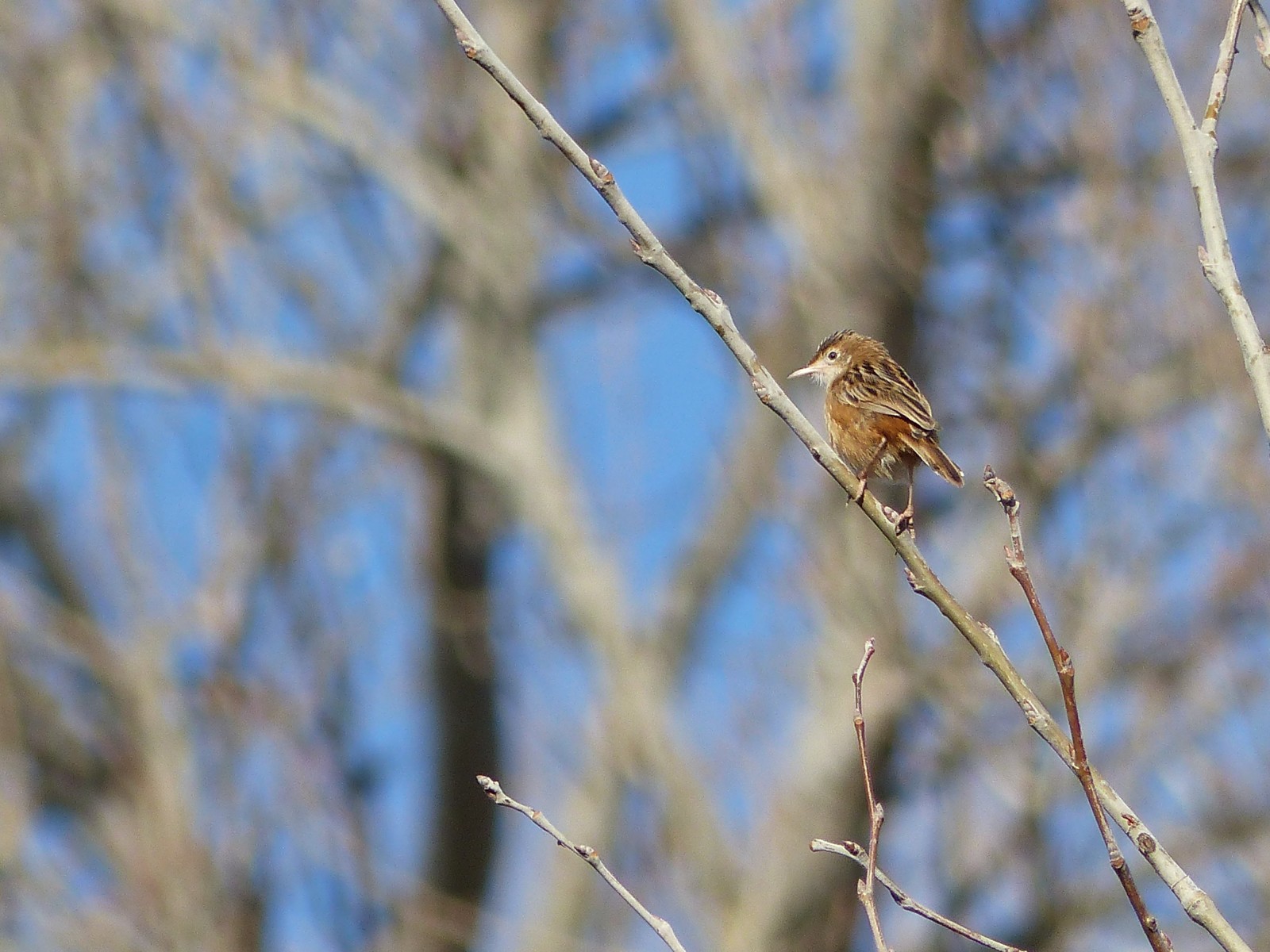
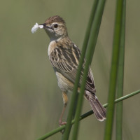
However, the target bird varies a lot depending on the season, as winter is great when searching for waterfowl and waders, such as Alzavola, Moretta and Canapiglia in the first category, and Piro piro culbianco and Piro piro piccolo in the second. Summer, however, stands out due to the abundance of water-related passerines, which enjoy the insects that the forest and water attract. Examples of these birds include the already mentioned Cannareccione, its relative the Cannaiola, and the melodious Usignolo and Canapino comune.
In this area, differently to the nearby Laguna de El Campillo, the cliffs are located far from the track, on the other side of the Manzanares river; so only large species, Gufo reale being an example, can be spotted while perched on them.
The track is quite linear and clear to follow, although you can get closer to the Manzanares river if you take some althernative paths. This has to be done in order to see the spot where the two mentioned rivers join. The beginning of the track is in a different habitat, as it is quiet far from the lake; it consists on scrublands and agricultural fields, mostly.
Dettagli
Accesso
The access of Soto de las Juntas is very straightforward, as there is an exit exclusively for it on the highway. After having taken the exit, there is a parking area where the car can be left. It is not very big, but the area is quite calm and there isn't usually many people, so you will find a spot very easily (To go there directly you can click on the P on the map). Bike access can be done if coming from the town Rivas-Vaciamadrid, and it needs the same steps as going by car. There is no bus stop close to the location, but there may be some at the town, so it is not impossible to go by bus.
The walking trail that is shown on the map is about 7 km.


 ) per inserire i nomi delle specie nella tua lingua. I nomi delle specie verranno automaticamente tradotti per gli altri utenti!