Descrizione
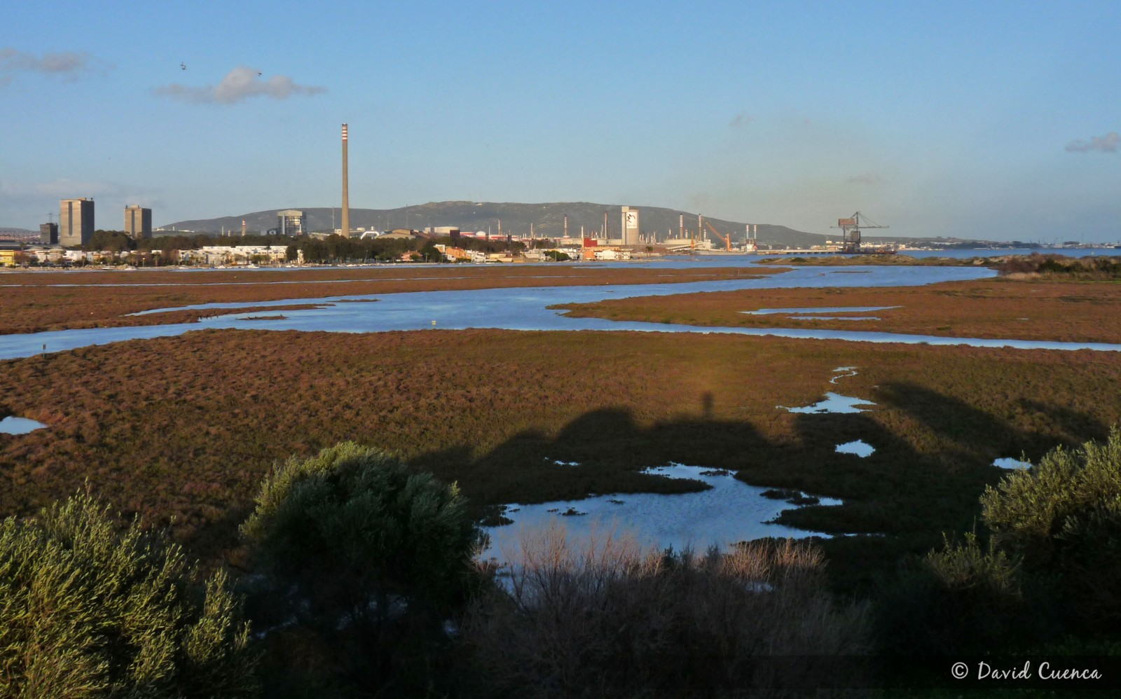
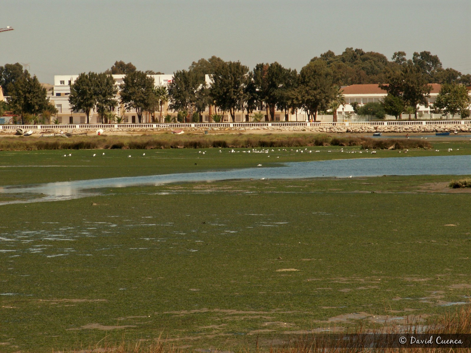
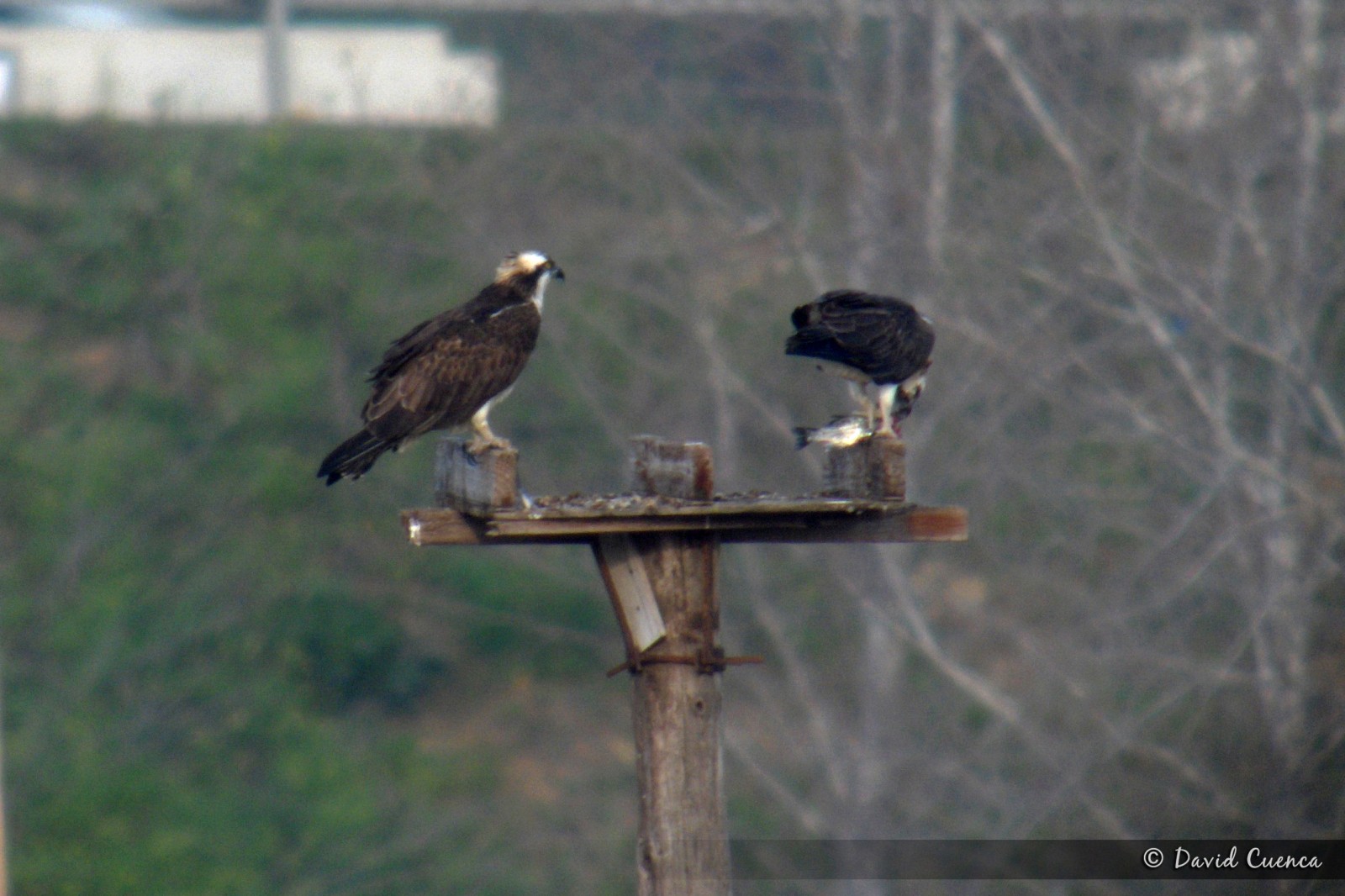
This natural park in the mouth of the river Palmones, covers the only marshes of the whole Strait of Gibraltar. It's an important place for birds, especially in migration periods and in winter, with more than 200 species recorded. The marshes, intertidal zone and coastal dunes attract lots of wildfowl species, herons, gulls, terns and waders. The Spatola is easy to see in small numbers and it's the most important wintering area for Falco pescatore in the Strait. Some of the main species are: breeding Fratino, Cutrettola, Calandrella and Passera sarda (in the orchards); migrants Cavaliere d'Italia, Fenicottero, Pernice di mare, Sterna comune and Sterpazzolina and wintering Cormorano, Falco di palude, Fischione, Pettegola, Chiurlo maggiore, Gufo di palude, Volpoca (some years), Sterna maggiore and Spioncello. The Sterna di Rüppell is one of the annual rarities. Moreover, Fischione americano, Beccaccia, Canapino maggiore and Zigolo boschereccio have been seen.
There is an observatory in the place called Torrejon Park, from where you have an excellent panoramic sight of all the area. In early spring, it is easy to see Cuculo dal ciuffo and several species of warblers and others songbirds in the forest and scrubland.
Palmones is also a good place to see migration of raptors, storks, swifts and swallows with the west winds.
Dettagli
Accesso
The best option to visit this area is to access from the south. Take exit number 108 of the A7 motorway towards Embarcadero Avenue. Then, in the first traffic circle turn right until a junction with a stop (you can see a sign for the Observatory for Public Use 1 km. away) where you turn left onto the Mediana road. If you continue along this street until the end, in its final section it continues as a dirt track to the vicinity of the Torrejon Park observatory, which you have to explore walking. If you turn right onto Cabo Ajo street and then turn left onto Cabo Finisterre street, you will come to an orchard area from where you can access, on foot too, the eastern part of the area, with wide intertidal mudflats, the dunes and the beach.
Terreno e habitat
Zona umida , Spiaggia , Velme , Terreni coltivati , Alberi e cespugli sparsi , Fiume , DuneCaratteristiche dell’area
Terreno piano , Sabbioso , Paesaggio aperto , PaludosoPercorso ad anello
NoÈ utile un cannocchiale?
SiBuona stagione per il BW
Tutto l'annoMiglior periodo per visitare
Inverno , Primavera , Autunno , Migrazione primaverile , Migrazione autunnalePercorso
Sentiero ampio , Strada sterrataGrado di difficoltà del percorso a piedi
FacileModalità di accesso
A piedi , MacchinaCapanno/torretta di osservazione
SiInformazioni aggiuntive
If you want to see waders feeding and groups of gulls and terns resting, it is better to visit the eastern part of the area at low tide.
To take advantage of the time it is better to drive to the car parks and walk from there.


.jpg)

 ) per inserire i nomi delle specie nella tua lingua. I nomi delle specie verranno automaticamente tradotti per gli altri utenti!