Descrizione
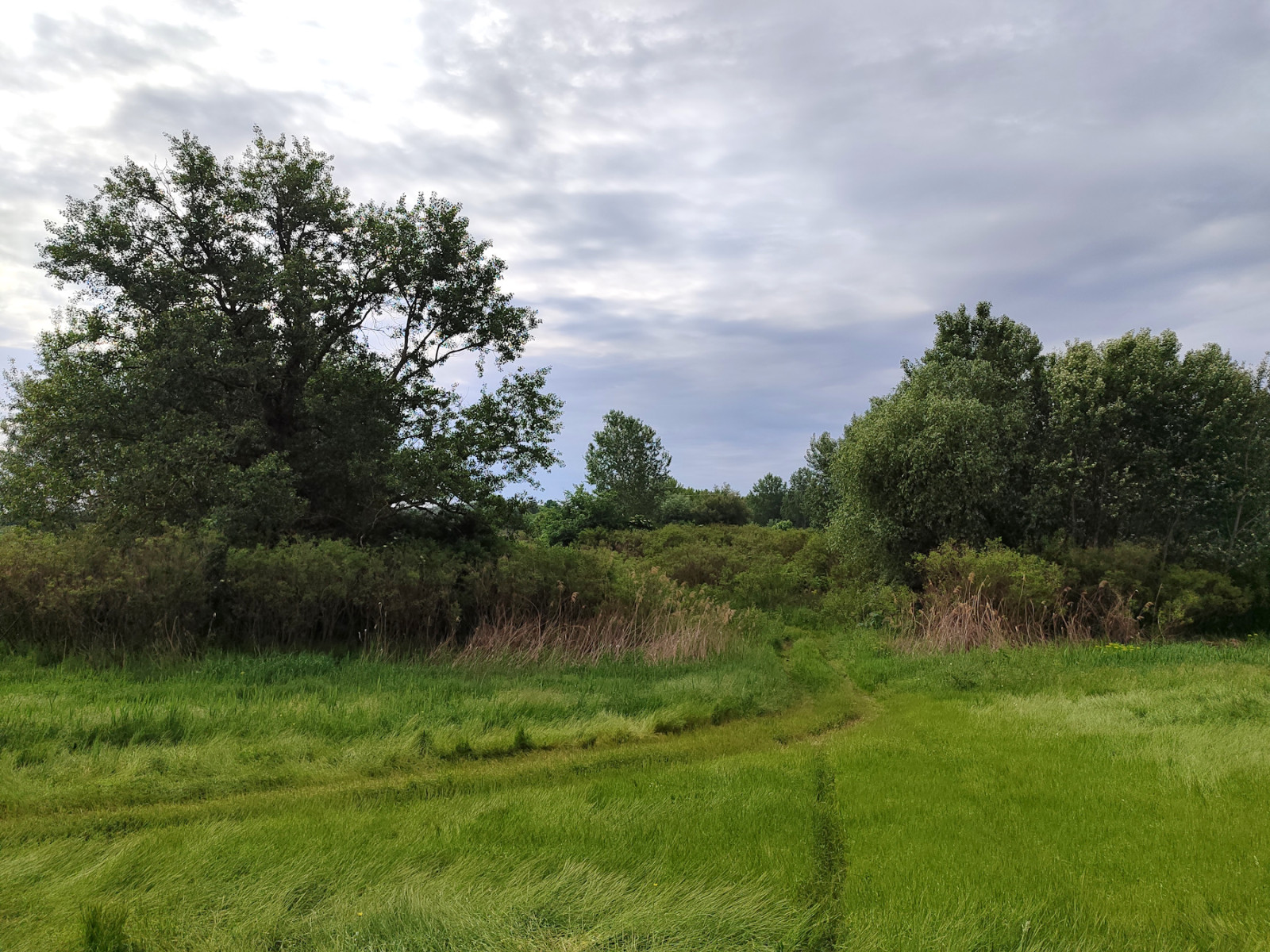
The special nature reserve Marshes of the Lower Tisza is situated in the central part of the Vojvodina province, in the lower Tisza basin, split between Banat and Bačka regions.
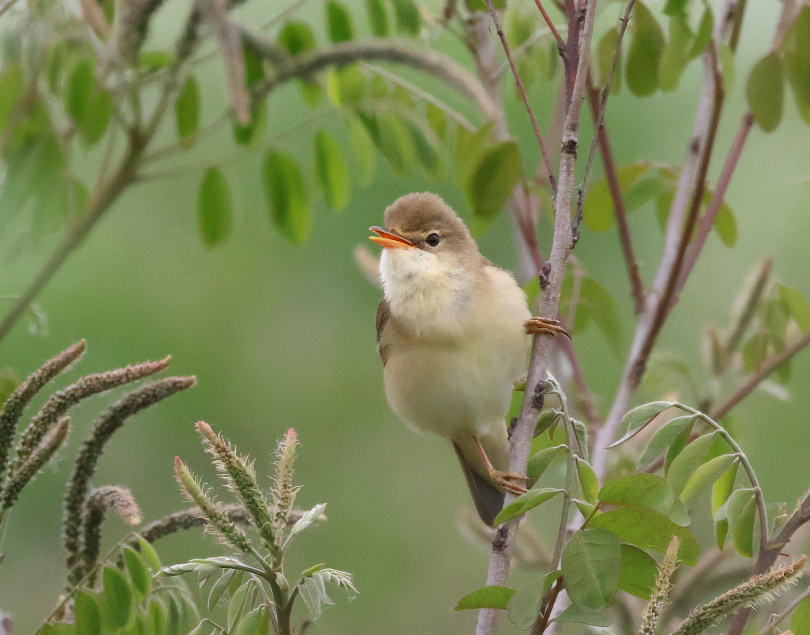
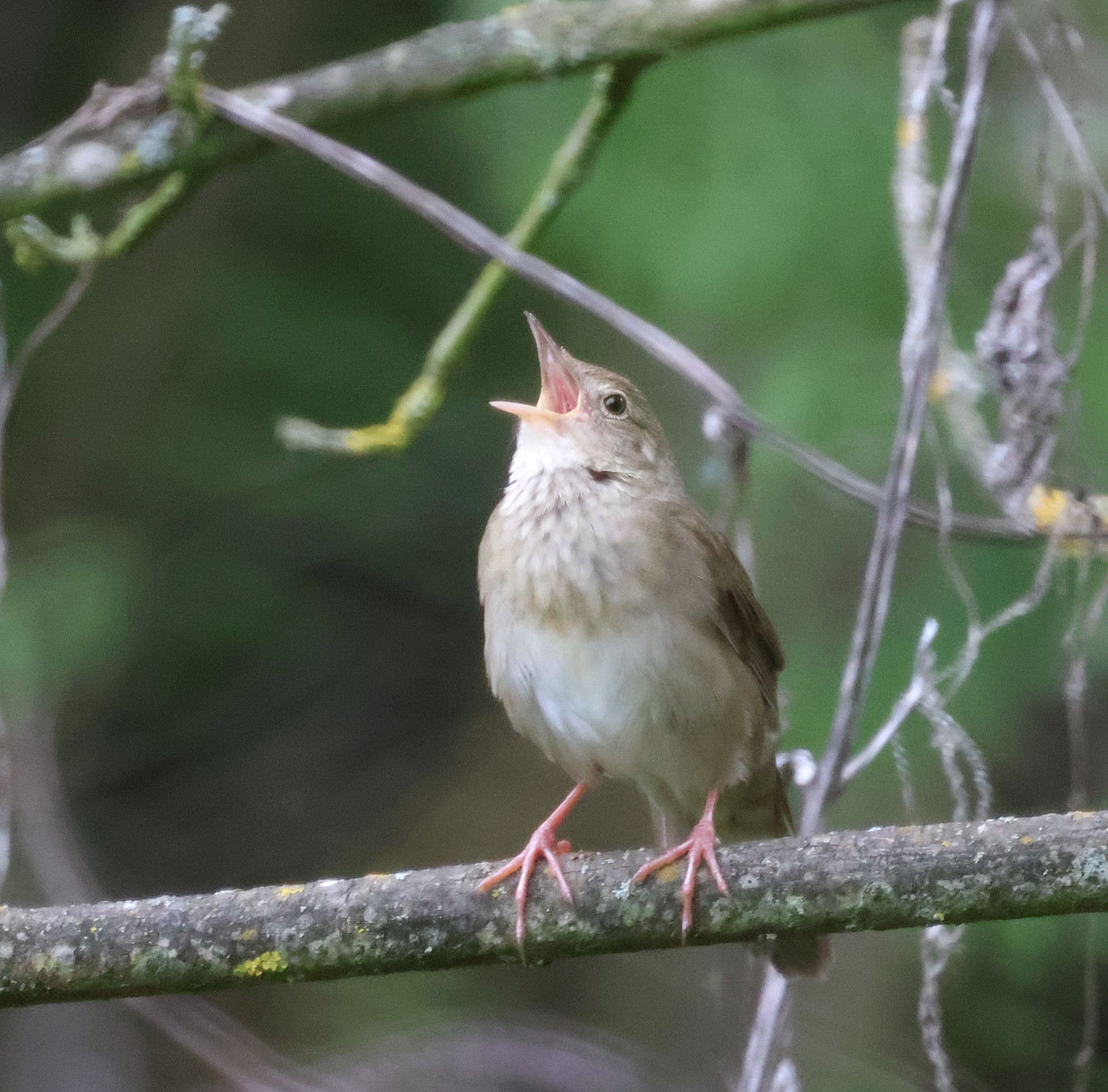
The area is breeding ground for species like Airone bianco maggiore, Cicogna nera, Aquila di mare, Picchio rosso minore, and Canapino pallido orientale. The presence of low dense vegetation also attracts Locustella fluviatile, Cannaiola verdognola, Bigia padovana, and Beccafico, while Saltimpalo, Cutrettola, and Forapaglie macchiettato can be found in wet meadows east of the embankment.
The lower Tisza basin is also known for Palingenia longicauda, aquatic insects that never move away from water, fly low and their cerci are frequently touching or sweeping the surface. The slow-moving river and absence of surface-feeding fish make this possible. The presence of P. longicauda, as well as otter and beaver, is an indicator of clean unpolluted water and preservation and quality of this habitat.
The best months to visit are May and June.
Dettagli
Accesso
The main access to this area is from the regional road Novi Sad - Zrenjanin, stop just after the Žabalj bridge if coming from Novi Sad. You can park immediately after leaving the main road or find a better place to park a few hundred meters down the minor road. From this point, the path over the embankment leads in both directions, upstream and downstream of the Tisza River. Although the section of the embankment north of the Novi Sad - Zrenjanin road is paved, it is not directly accessible by car from the road (there is a road fence in between), but only from the Babatovo restaurant, ~5km further to the north on the left riverbank.
The alternative access point to the southern embankment section is from the local hunting lodge near Aradac village in the south.
Terreno e habitat
Foresta , Alberi e cespugli sparsi , Zona umida , Prateria/pascolo , Pianura , Stagno , Fiume , Canneti , Terreni coltivati , Brughiere/landeCaratteristiche dell’area
Terreno piano , PaludosoPercorso ad anello
NoÈ utile un cannocchiale?
NoBuona stagione per il BW
Primavera , Estate , AutunnoMiglior periodo per visitare
Primavera , Estate , AutunnoPercorso
Sentiero ampio , Strada sterrata , Strada asfaltataGrado di difficoltà del percorso a piedi
Difficoltà mediaModalità di accesso
A piedi , BiciclettaCapanno/torretta di osservazione
NoLink
- 'Žabalj bridge area, Tisa River' eBird hotspot
- 'Jegmeč, Tisa river' eBird hotspot
- 'Tisa, Aradac' eBird hotspot
- eBird barchart of all 3 hotspots


 ) per inserire i nomi delle specie nella tua lingua. I nomi delle specie verranno automaticamente tradotti per gli altri utenti!