Descrizione
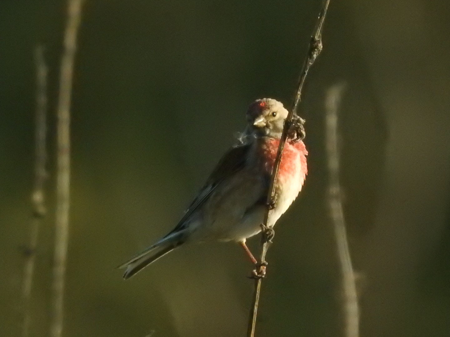
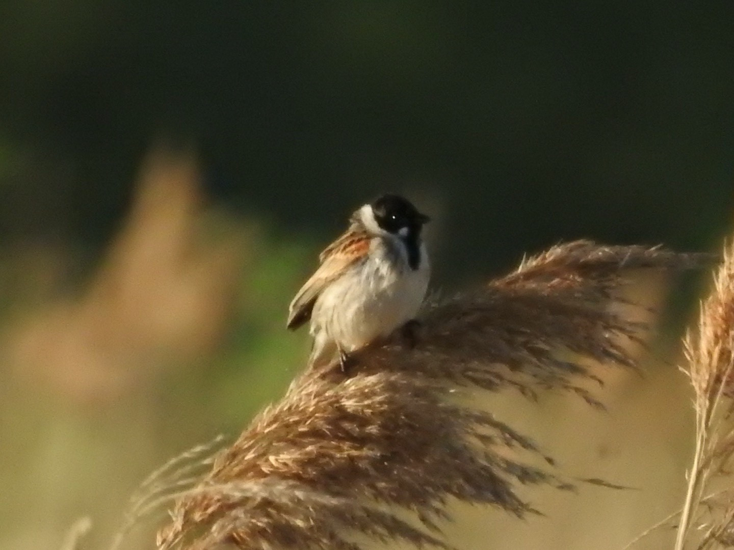
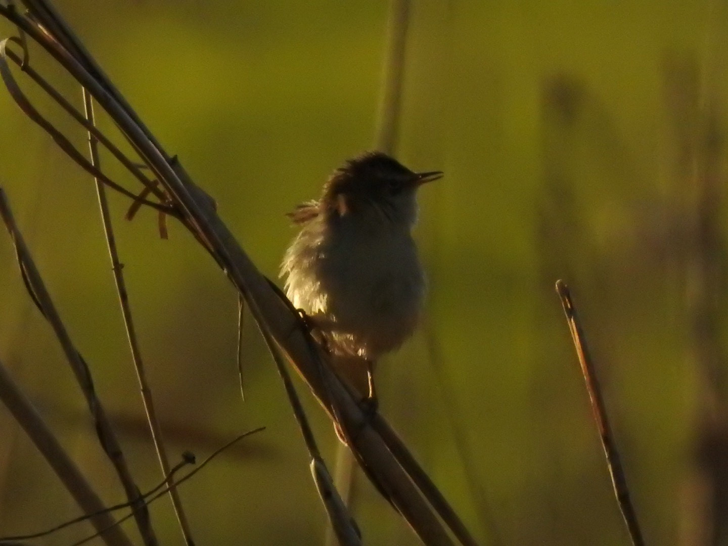
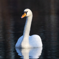
"The Wetlands" path Mokradła Ścieżka Przyrodnicza is part of the Ujście Warty National Park. During your stay, it is worth taking advantage of the possibility of observation from the tower located at the parking lot (available during the working hours of the park management offices - details on the website). The path shows the diversity of the flora of the wetlands and provides a good opportunity to observe the birds that inhabit the area.
______________________
Polski: Ścieżka "Mokradła" jest częścią Parku Narodowego Ujście Warty. W trakcie pobytu warto skorzystać z możliwości obserwacji z wieży znajdującej się przy parkingu (dostępna w godzinach pracy biur zarządu parku - szczegóły na stronie internetowej. Ścieżka ukazuje różnorodność flory mokradeł i stwarza dobrą okazję do obserwacji ptaków je zamieszkujących.
Dettagli
Accesso
It is most convenient to get to this place by your own means of transport and park in the car park indicated on the map and marked with the letter P. The car park is available during the working hours of the national park service office. To enter the path, you need to cross a busy road - extreme caution is recommended. During periods of high water levels, the path may be unavailable - it is worth checking the water level on the national park website or contacting the service office - details can be found through the links below.
______________
Polski: Najwygodniej dostać się w to miejsce własnym środkiem transportu i zaparkować na parkingu wskazanym na mapie i oznaczonym literą P. Parking jest dostępny w czasie pracy biura obsługi parku narodowego. Aby wejść na ścieżkę należy przekroczyć ruchliwą drogę - zalecana jest szczególna ostrożność. W okresach wysokiego poziomu wody ścieżka może być niedostępna - warto sprawdzić stan wody na stronie parku narodowego lub skontaktować sięz biurem obsługi - szczegóły po zamieszczonymi poniżej linkami.


 ) per inserire i nomi delle specie nella tua lingua. I nomi delle specie verranno automaticamente tradotti per gli altri utenti!