Descrizione
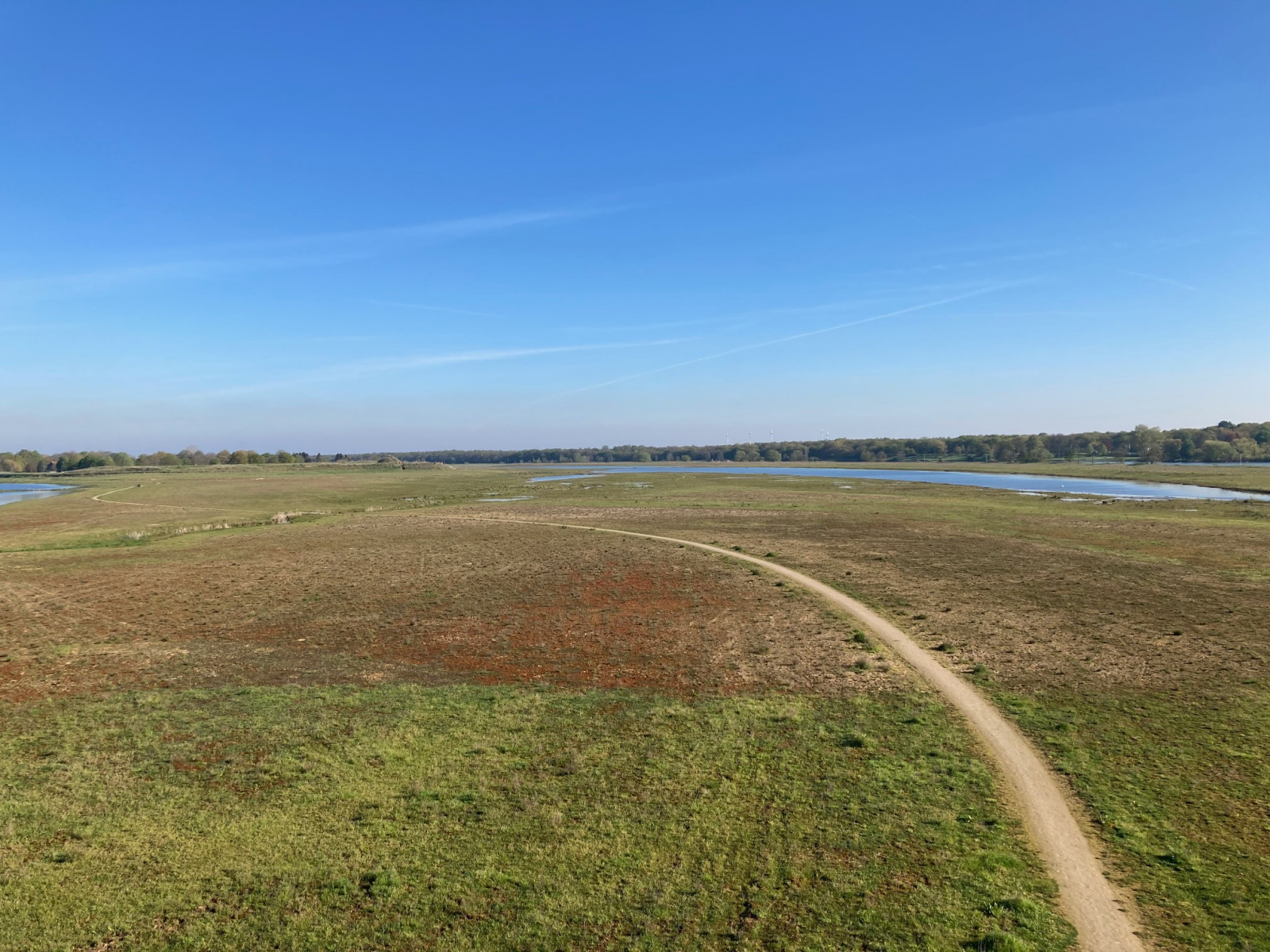
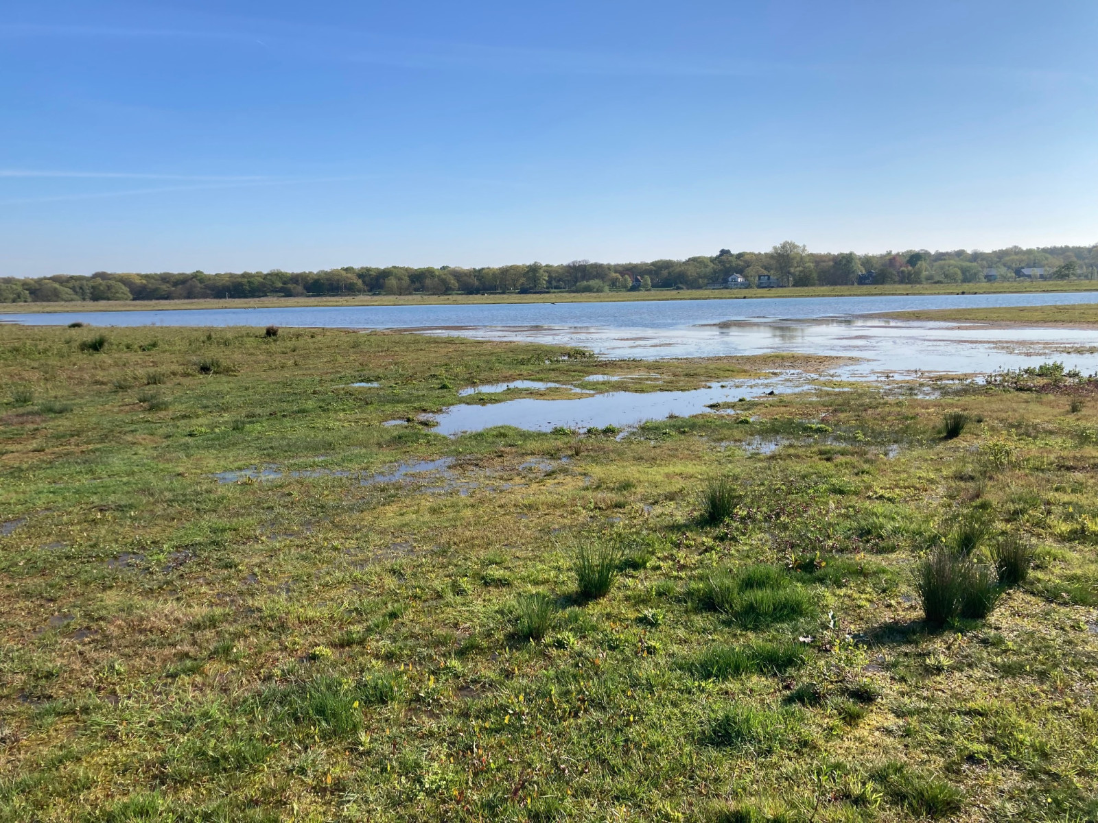
The floodplains of Ooijen are part of the recently developed Maaspark Ooijen-Wanssum. This large nature reserve functions as a flood area at high tide and is characterized by sandy floodplains, shallow ponds and seepage marshes and streams further on in the Maaspark. You will find meadow and farmland birds such as Combattente, Pettegola, Pavoncella and Starna, but also waterfowl such as Smergo maggiore, Marzaiola, Gabbiano reale, Topino and Spioncello. The area is still under development, so be surprised! Particularly in the migration season, the area is an interesting place because of its large scale and tranquility. There is a bird observation tower in the south of the area.
_________________________
Nederlands: Schitterende recent ingerichte riviernatuur langs de Maas, met een enorme rijkdom aan watervogels. Onderdeel van Maaspark Ooijen-Wanssum. Dit grote natuurgebied functioneert als overstromingsgebied bij hoogwater en kenmerkt zich door zandige uiterwaarden, ondiepe plassen en verderop in het Maaspark (kwel)moerassen en beekjes. Je vindt hier weide- en akkervogels zoals Combattente, Pettegola, Pavoncella en Starna, maar ook watervogels zoals Smergo maggiore, Marzaiola, Gabbiano reale, Topino en Spioncello. Het gebied is nog volop in ontwikkeling, dus laat je verassen! Met name in het trekseizoen is het gebied vanwege de grootschaligheid en de rust een interessante plek. In het zuiden van het gebied is een uitkijktoren aanwezig.
Dettagli
Accesso
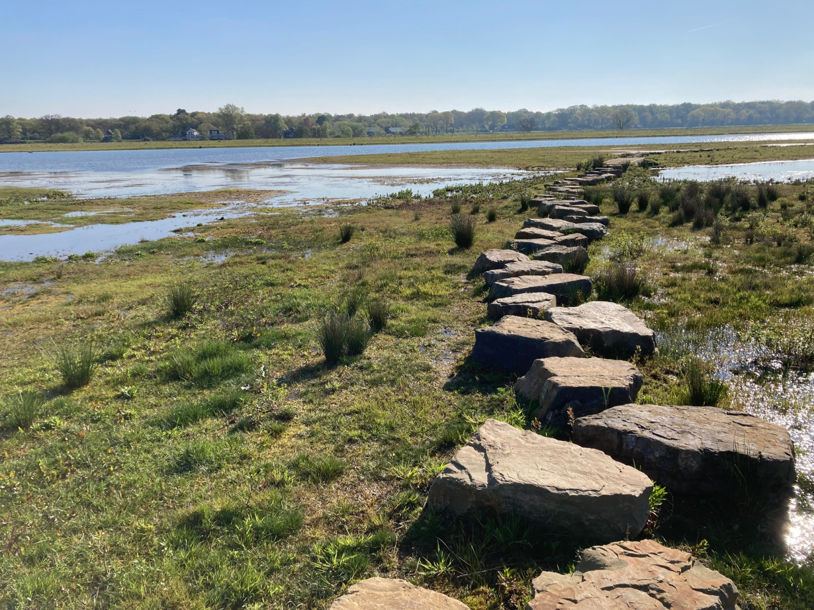
The spacious parking lot next to Recreatiepark Kasteel Ooijen is a good starting point for the walk. Click on the P in the map for directions. The walk shown on the map is approximately 3 km.
_________________________
Nederlands: De ruime parkeerplaats naast Recreatiepark Kasteel Ooijen is een goed beginpunt van de wandeling. Klik op de P in de kaart voor een routebeschrijving. De wandeling die is weergegeven op de kaart is ongeveer 3 km. Er is een verhard pad, maar je mag ook vrij door het gebied struinen. Er zijn enkele plekken met stapstenen, waardoor je die natte plekken ook bij hogere waterstand kunt bereiken.


.jpg)
 ) per inserire i nomi delle specie nella tua lingua. I nomi delle specie verranno automaticamente tradotti per gli altri utenti!