

Descrizione
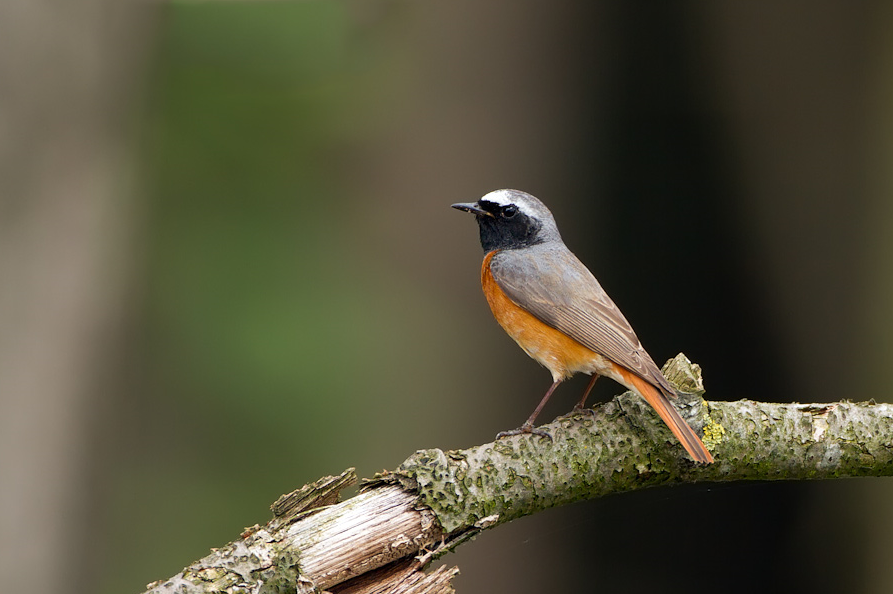
Eyecatcher is the Tongerense Berg (hill) with a beautiful view. Descending to the Wisselse Veen, the terrain becomes flatter and wetter. The heather flows into grassland. More to the north lies the Tongerense Veen with streams, stream banks, grasslands, bushes and wood girths. Known for the many Cincia dal ciuffo. In the forested areas you can also find Gufo comune, Astore and Poiana. Succiacapre, Zigolo giallo, Saltimpalo, Prispolone and Tottavilla are found on the open heath. Birds such as Beccaccino, Porciglione and Migliarino di palude breed in the wet area of the Wisselse Veen.
_________________________
Nederlands: In het hooggelegen gebied van de Tongerense Heide vind je bos, heide en vennen. Blikvanger is de Tongerense Berg met een prachtig uitzicht. Afdalend naar het Wisselse Veen wordt het terrein vlakker en natter. De heide verandert in grasland. Meer naar het noorden ligt het Tongerense Veen met beekjes, beekoevers, graslanden, struikgewas en houtsingels. Bekend om de vele Cincia dal ciuffo. In de beboste gebieden zijn ook Gufo comune, Astore en Poiana te vinden. Succiacapre, Zigolo giallo, Saltimpalo, Prispolone en Tottavilla zijn te vinden op de open heide. Vogels als Beccaccino, Porciglione en Migliarino di palude broeden in het natte gebied van het Wisselse Veen.
Dettagli
Accesso
Park best at the start of Van Manenspad (see the P on the map on the north side) or at the crossing Oranjeweg/Gortelseweg (see the P on the map on the south side). There are two marked hiking trails, one of 5 and one of 4 kilometers. But you can also easily make a longer walk like the route on the map (12,5 km).
_________________________
Nederlands: Parkeer het beste aan het begin van het Van Manenspad (zie de P op de plattegrond aan de noordzijde) of bij de kruising Oranjeweg/Gortelseweg (zie de P op de plattegrond aan de zuidzijde). Er zijn twee gemarkeerde wandelroutes, een van 5 en een van 4 kilometer. Maar je kunt ook gemakkelijk een langere wandeling maken zoals de route op de kaart (12,5 km).
Terreno e habitat
Foresta , Zona umida , Montagna , Alberi e cespugli sparsiCaratteristiche dell’area
Terreno pianoPercorso ad anello
SiÈ utile un cannocchiale?
Può essere utileBuona stagione per il BW
Tutto l'annoMiglior periodo per visitare
PrimaveraPercorso
Strada asfaltataGrado di difficoltà del percorso a piedi
FacileModalità di accesso
Bicicletta , A piediCapanno/torretta di osservazione
NoLink
- Recent bird sightings in the area on Waarneming.nl
- www.glk.nl/landschappen-kastelen/locatie/tongeren (more info in Dutch)


 ) per inserire i nomi delle specie nella tua lingua. I nomi delle specie verranno automaticamente tradotti per gli altri utenti!