

Descrizione
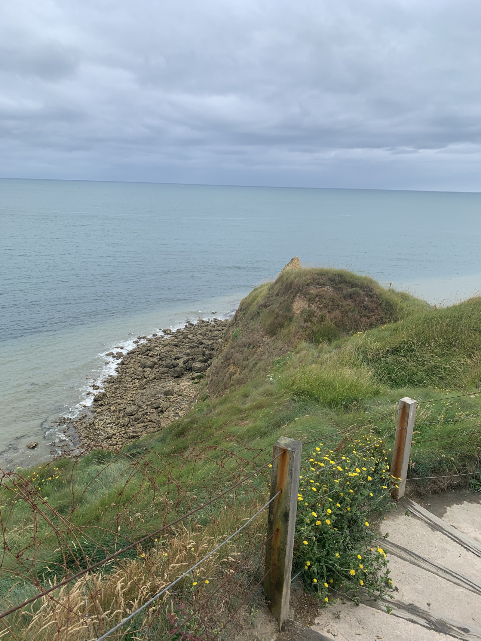
Pointe du Hoc is a prominent cliff on the coast of Normandy that played a significant role during World War II, particularly during the D-Day landings on June 6, 1944. Today, Pointe du Hoc is a memorial site, with remnants of the bunkers and bomb craters still visible.
In the first part of the circular walking route shown on the map you can observe songbirds such as Fanello or Pispola and many other species. Along the coast you can observe Gabbiano tridattilo, Uria and many other seabirds. A good place for seawatching!
Dettagli
Accesso
Pointe du Hoc is located on the northwestern coast of Normandy situated between Omaha Beach and Utah Beach. There is a big parking lot for visitors. Press P on the map for directions to the parking. The circular walking route shown on the map is about 1,5 km.
Terreno e habitat
Prateria/pascolo , Mare , DuneCaratteristiche dell’area
Sabbioso , Non ombreggiato , Collinoso , PolverosoPercorso ad anello
SiÈ utile un cannocchiale?
Può essere utileBuona stagione per il BW
Tutto l'annoMiglior periodo per visitare
Primavera , AutunnoPercorso
Sentiero ampioGrado di difficoltà del percorso a piedi
FacileModalità di accesso
A piedi , Sedia a rotelleCapanno/torretta di osservazione
NoInformazioni aggiuntive
On D-Day, the United States Army Rangers, led by Lieutenant Colonel James Earl Rudder, scaled the 30-meter-high cliffs to capture the German positions. Despite facing heavy resistance and difficult terrain, the Rangers successfully took control of the area, which was crucial for the success of the Normandy landings.


 ) per inserire i nomi delle specie nella tua lingua. I nomi delle specie verranno automaticamente tradotti per gli altri utenti!