Descrizione
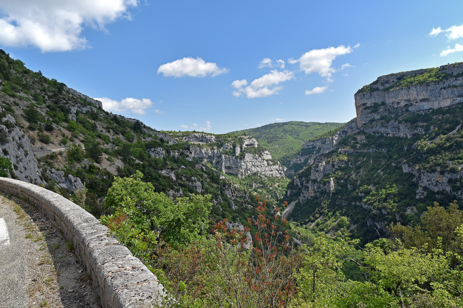
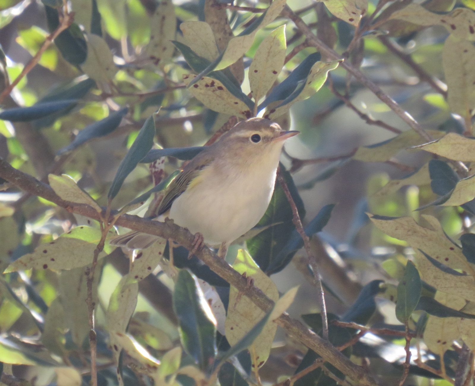
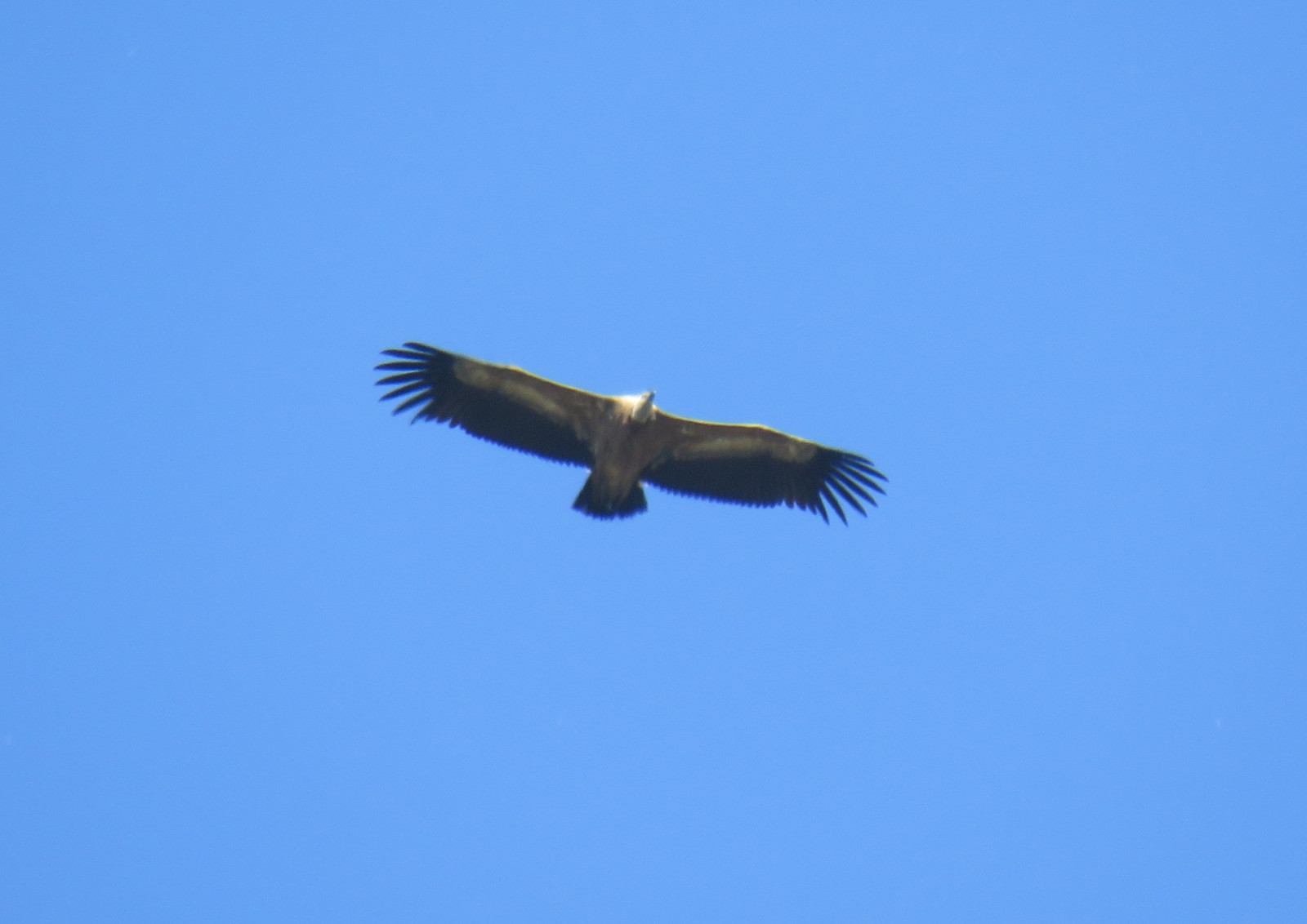
The Gorges de la Nesque is a limestone canyon carved by the Nesque River, stretching between the villages of Monieux and Villes-sur-Auzon. It plunges over 400 meters deep in places and offers panoramic views and winding cliffside roads. The area is part of the UNESCO Mont Ventoux Biosphere Reserve and a Natura 2000 site, recognized for its rich biodiversity. The main road D942 is surrounded by both wooded and barren slopes. The central viewpoint Belvédère de Castellaras provides a view of the steepest cliffs and the iconic Rocher du Cire, a massive rock formation that dominates the landscape. You can spot Rondone maggiore, Capovaccaio, Grifone, Corvo imperiale, Rondine montana, in front of the steepest cliffs. at the other side of the road you can see Falco pellegrino. if you follow the D942 1 km further from Monieux, you can see Aquila reale here. and other songbirds that thrive in the cliffs and forests are Sterpazzolina Occhiocotto Bigia grossa and Calandro
Dettagli
Accesso
Gorges de la Nesque is located in the Vaucluse department of southeastern France, within the Provence-Alpes-Côte d’Azur region. It lies between the villages of Monieux and Villes-sur-Auzon. The main route through the gorge is the D942 road. From the D942 road, some marked hiking trails run through the area. such as the steep walk towards the Chapel, where you will find mainly Songbirds in the rocks and bushes and Vultures and Swallows flying overhead. This hiking trails starts 300m Furter up the D942 from the observation point to Monieux.
In the heart of the Gorges de la Nesque the Belvédère de Castellaras offers a dramatic panorama, with sweeping views over the limestone cliffs, the winding gorge below, and the Rocher du Cire. Press P on the map for directions to the Belvédère de Castellaras.


 ) per inserire i nomi delle specie nella tua lingua. I nomi delle specie verranno automaticamente tradotti per gli altri utenti!