

Descrizione
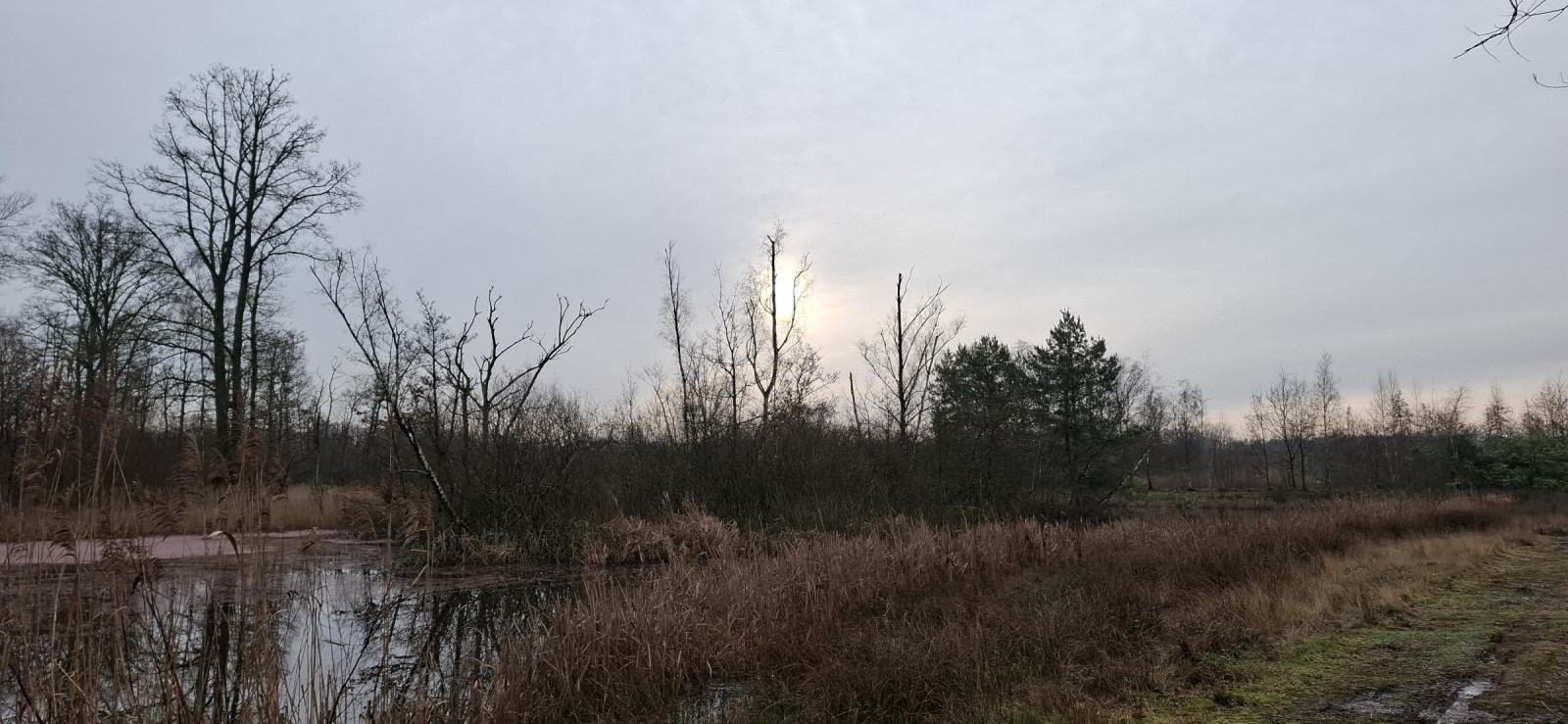
Mosselgoren is a mosaic of deciduous forests and alder marsh forests, reed beds, moist meadows and pools. The various streams point to the origin of the area, because Mosselgoren belonged to the flood plain of the Kleine Nete. In 2022, work will be carried out on a new wetland area to be built. Birds that you may see in the area include Oca selvatica, Poiana, Astore, Cannaiola, Migliarino di palude, Cuculo, Usignolo, Pettazzurro and Airone bianco maggiore. Also fox and roe deer live in the area.
_________________________
Nederlands: Mosselgoren is een mozaïek van loofbossen en elzenbroekbossen, rietlanden, vochtige hooilanden en poelen. De verschillende beekjes wijzen op de ontstaanhistorie van het gebied, want Mosselgoren behoorde tot het overstromingsgebied van de Kleine Nete. Je kunt een mooie rondwandeling maken door dit gevarieerde natuurgebied. In 2022 wordt er gewerkt aan een nieuw te realiseren moerasgebied. Vogels die je in het gebied kunt zien zijn onder meer Oca selvatica, Poiana, Astore, Cannaiola, Migliarino di palude, Cuculo, Usignolo, Pettazzurro en Airone bianco maggiore. Ook vos en ree leven in het gebied.
Dettagli
Accesso
Mosselgoren is located just north of Sint-Jozef-Olen. Parking is possible along the canal. Click on a P in the map for directions to a parking space. Mosselgoren is only accessible to hikers. The area is easily accessible for cyclists up to the entrance. IMPORTANT: No dogs are allowed in the area. The circular walk marked on the map is approximately 4 km long.
_________________________
Nederlands: Mosselgoren ligt iets ten noorden van Sint-Jozef-Olen. Parkeren kan langs het kanaal. Klik op een P in de kaart voor een routebeschrijving naar de parkeerplek. Mosselgoren is alleen toegankelijk voor wandelaars. Het gebied is goed toegankelijk voor fietsers tot aan de ingang. BELANGRIJK : in het gebied zijn geen honden toegelaten. De rondwandeling die is aangegeven op de kaart is ongeveer 4 km lang.
Terreno e habitat
Foresta , Zona umida , Pianura , Prateria/pascolo , CannetiCaratteristiche dell’area
Paludoso , Terreno pianoPercorso ad anello
SiÈ utile un cannocchiale?
Può essere utileBuona stagione per il BW
Tutto l'annoMiglior periodo per visitare
Migrazione autunnale , Migrazione primaverile , PrimaveraPercorso
Strada sterrata , Sentiero strettoGrado di difficoltà del percorso a piedi
Difficoltà mediaModalità di accesso
A piediCapanno/torretta di osservazione
NoInformazioni aggiuntive
A bird hide is not (yet) available. Possibly in time at the new wetland area. A bird migration watchpoint is being realized.
_________________________
Nederlands: Een vogelkijkhut is (nog) niet aanwezig. Mogelijk op termijn bij het nieuwe moerasgebied. Een trektelpost wordt gerealiseerd.


 ) per inserire i nomi delle specie nella tua lingua. I nomi delle specie verranno automaticamente tradotti per gli altri utenti!