Descrizione
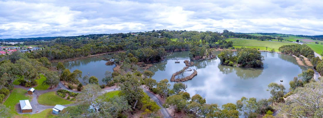
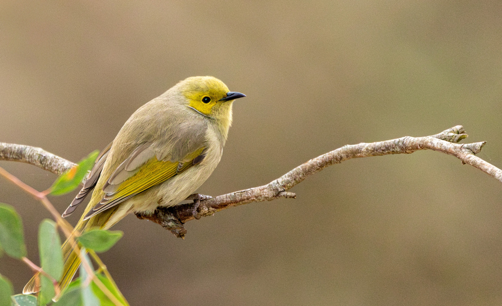
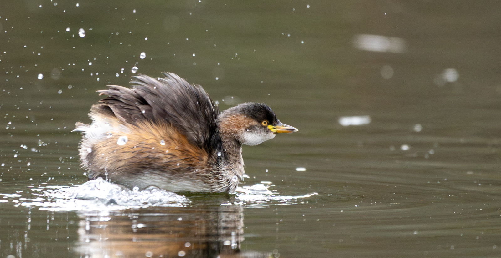
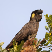
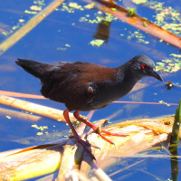
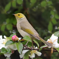
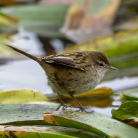
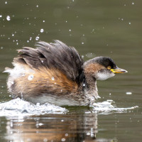
Laratinga Wetland was named after the Peramangk meaning for Mount Barker Creek. The wetland has taken several years to resemble a natural ecosystem, but has become an increasingly important area for native wildlife. Landscaping design with the use of indigenous plant species and safe island habitats attracts many birds. A food forest for Cockatoos has encouraged Cockatoos including the Yellow-tailed Black-Cockatoo back to the area.
Dettagli
Accesso
Laratinga Wetlands is located in Mount Barker, in the Adelaide Hills region of South Australia. It sits at the intersection of Bald Hills Road and Springs Road, just a short drive from the town center. Press P on the map for directions to the parking. Public Transport: Accessible via local bus routes from Adelaide to Mount Barker, with stops near the wetlands.
A paved shared path passes through and circles around the Laratinga Wetlands. The route shown on the map is about 4 km. There are several bird hides and amenities like public restrooms and picnic areas.
 ) per inserire i nomi delle specie nella tua lingua. I nomi delle specie verranno automaticamente tradotti per gli altri utenti!