Carica immagini
I formati di immagine permessi sono jpeg, png, gif
Dimensione massima dei file 20MB
Tierra del Fuego National Park is a national park in the Argentinian part of Tierra del Fuego. It was established in 1960. The park is close to Ushuaia.
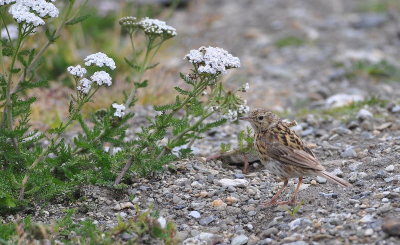
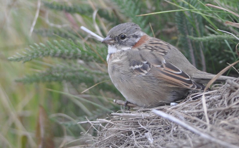
Tierra del Fuego National Park extends for 60 km north of the Beagle Channel, along the border with Chile. The park has an area of approximately 630 km² and includes parts of Lake Fagnano and Roca at Lapataia Bay on the south coast. The park contains waterfalls, forests, mountains and glaciers. There are about 90 bird species such as the Kelp goose, shelduck ducks, Andean condors and oystercatchers. Some walks include the Senda Castorera, Paseo del Mirador, Paseo del Turbal, Senda Laguna Negra, Senda Pampa Alta, Senda Cerro Guanaco and the Senda da Costera. Some of these walks are indicated on the map. Click a P in the map for directions to a starting point.
You'll probably arrived by plane and left for the Falkland Islands and Antartica, so walk into the area from the boat dock.
Il vostro feedback verrà inviato all’autore dell’area e agli editori di Birdingplaces. Utilizzeranno il tuo feedback per migliorare la qualità delle informazioni. Vuoi pubblicare un commento visibile? Utilizza il pulsante “Commenti” in fondo alla scheda di ciascuna area.
In questa casella puoi rilasciare il tuo feedback sul testo di questa area per il BW.
In questa casella puoi rilasciare il tuo feedback sulla mappa di questa area per il BW.
In questa casella puoi rilasciare il tuo feedback sull’elenco di specie di uccelli di questa area per il BW. (Per condividere i tuoi avvistamenti ti preghiamo di utilizzare il pulsante “Commenti” in fondo alla scheda di ciascuna area)
Clicca sull'icona dell'uccello () per inserire i nomi delle specie nella tua lingua. I nomi delle specie verranno automaticamente tradotti per gli altri utenti!