Description
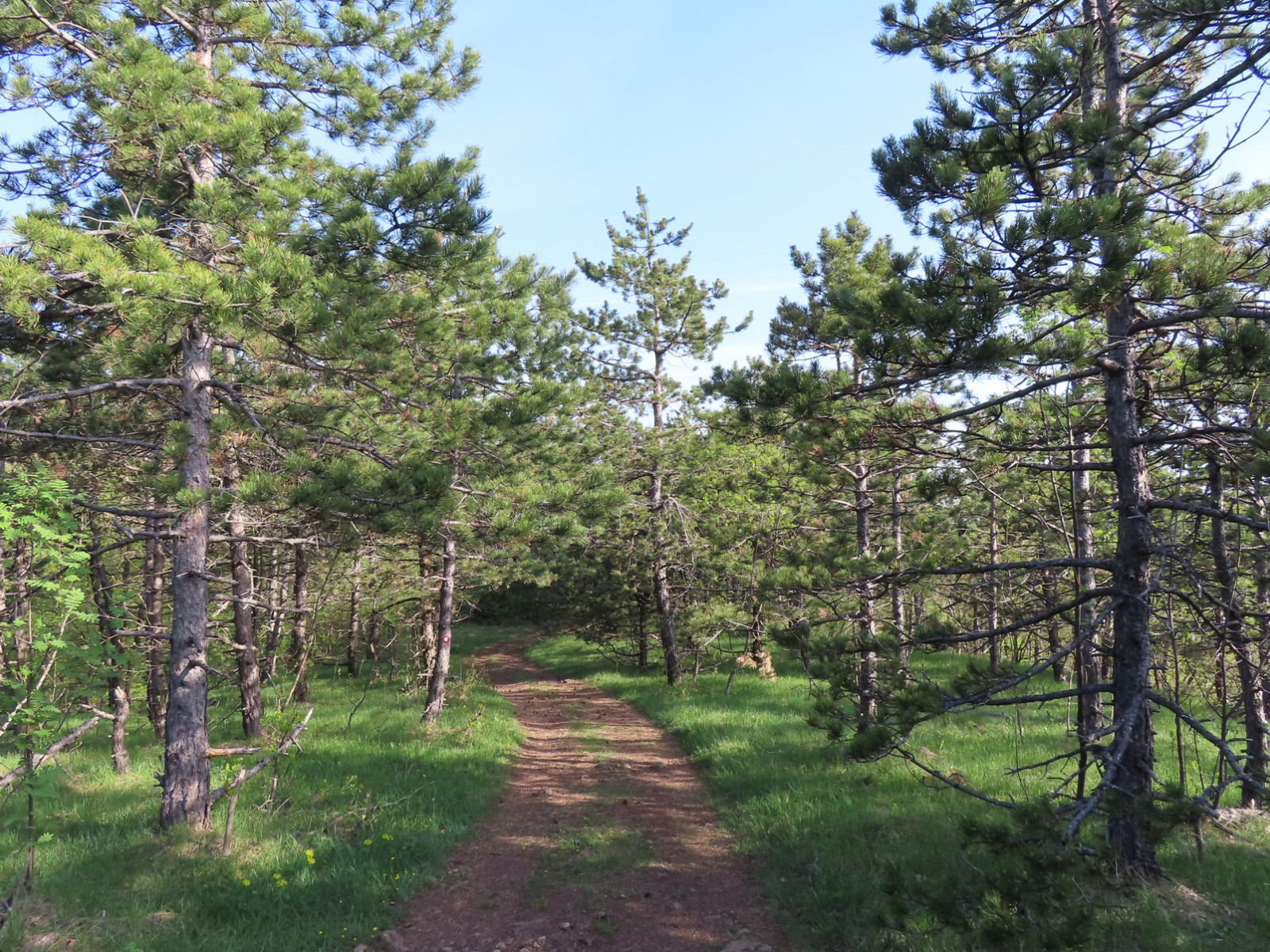
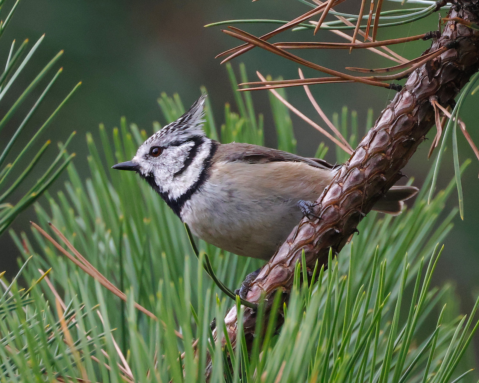
Suvobor ("Dry Pine") and Ravna Gora ("Even Mountain") host a mixture of different low-mountain habitats with long patches of pine, beech, and oak forests. Suvobor mountain top is covered by young pine forest, where you can find Toppmeisa, Barrmeisa, Gullkollur, Glókollur, and Laufsöngvari (on migration).
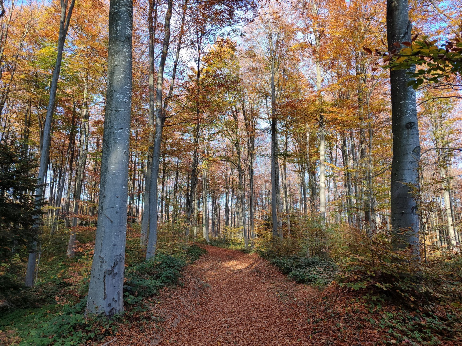
In Ravna Gora plateau, common species of old beech forest are Svartspæta, Glóbrystingur, Músarrindill, Hnotigða, Svartþröstur, and Söngþröstur, while in its mosaic meadows and scrubby hills common are Trjálævirki, Sönglævirki, Blámeisa, Þistilfinka, Gultittlingur, and Trjátittlingur.
Soaring over mountain tops and mountain stream valleys are Hrafn, Músvákur, Býþjór, and sometimes Gullörn, Snákerna, and Gráheiðir (on migration). Steep slopes of these valleys are overgrown by oak forests with Grænspæta, Gráspæta, and Grágrípur. When slopes become too steep or rocky, there comes Steintittlingur.
Dultittlingur, Korntittlingur, Þyrnisvarri, Þyrnisöngvari, and sometimes Geigsvarri and Hauksöngvari are perching on the bushes at the mosaic mild southern slopes towards the Brajići village as well as on northern slopes around Dobra Voda. Rauðþröstungur has been recorded (S. Puzović, Ciconia vol. 20) west of the Brajići village plateau, at the Parlozi locality ("Neglected Land"), where steep rocky slopes rise from Bukovača mountain stream.
The best months to visit are May, June, and the first half of July.
Details
Access
If coming from Belgrade, take the "Miloš Veliki" ("Miloš the Great") highway and depart at the Ljig intersection, pass through the Ljig town, then turn right to Kadina Luka, then again right to Ba village. Here the steep scenic ascent to Suvobor mountain begins. After passing the Dobra Voda ("Fine Water") plateau, turn left towards the mountain pass where it is possible to comfortably park.
To reach the Ravna Gora plateau, continue forward, and after 1.2 km turn right.
If you want to extend the walking route around Suvobor peak, head to Rajac mountain peak on the east, passing over Dobra Voda slopes. To extend Ravna Gora walking route, the best direction is west to Maljen mountain and its Rior eastern slopes.
Terrain and Habitat
Forest , Mountain , Scattered trees and bushes , Grassland , PlateauConditions
Mountainous , Hilly , RockyCircular trail
YesIs a telescope useful?
NoGood birding season
Spring , SummerBest time to visit
Spring , SummerRoute
Unpaved road , Narrow trail , Wide pathDifficulty walking trail
Average walkAccessible by
Bicycle , FootBirdwatching hide / platform
NoExtra info
Avoid the nearest weekend to May 13th, as there is a local manifestation on Ravna Gora with thousands of people coming to the plateau.
Observation platforms and watching hides drawn on the map are maintained by hunting association and are usually locked. They are added just for easier orientation.
Also nearby, with mostly similar mixture of habitats, but somewhat more rocky and "steppish" are "Divčibare Mountain Resort", "Tometino Polje Maljen Slopes" and "Orlovo Gnezdo (Eagle's Nest) Valley" (Rauðþröstungur).
If you want to overnight or dine delicious domestic food, there is a small mountain resort "Eko Selo Koštunići" located 9km to the south (15 km by road) in the mountain river Čemernica valley.
Links
- 'Suvobor--šira okolina vrha' eBird hotspot
- 'Suvobor--Ravna Gora' eBird hotspot
- 'Rajac NR--šira okolina vrha Rajac' eBird hotspot
- 'Suvobor--Koštunići' eBird hotspot
- 'Suvobor--Brajići' eBird hotspot
- Barchart for all eBird hotspots combined
- IBA Valjevske Mountains


 ) to insert bird names in your own language. The birdnames will automatically be translated for other users!