Description
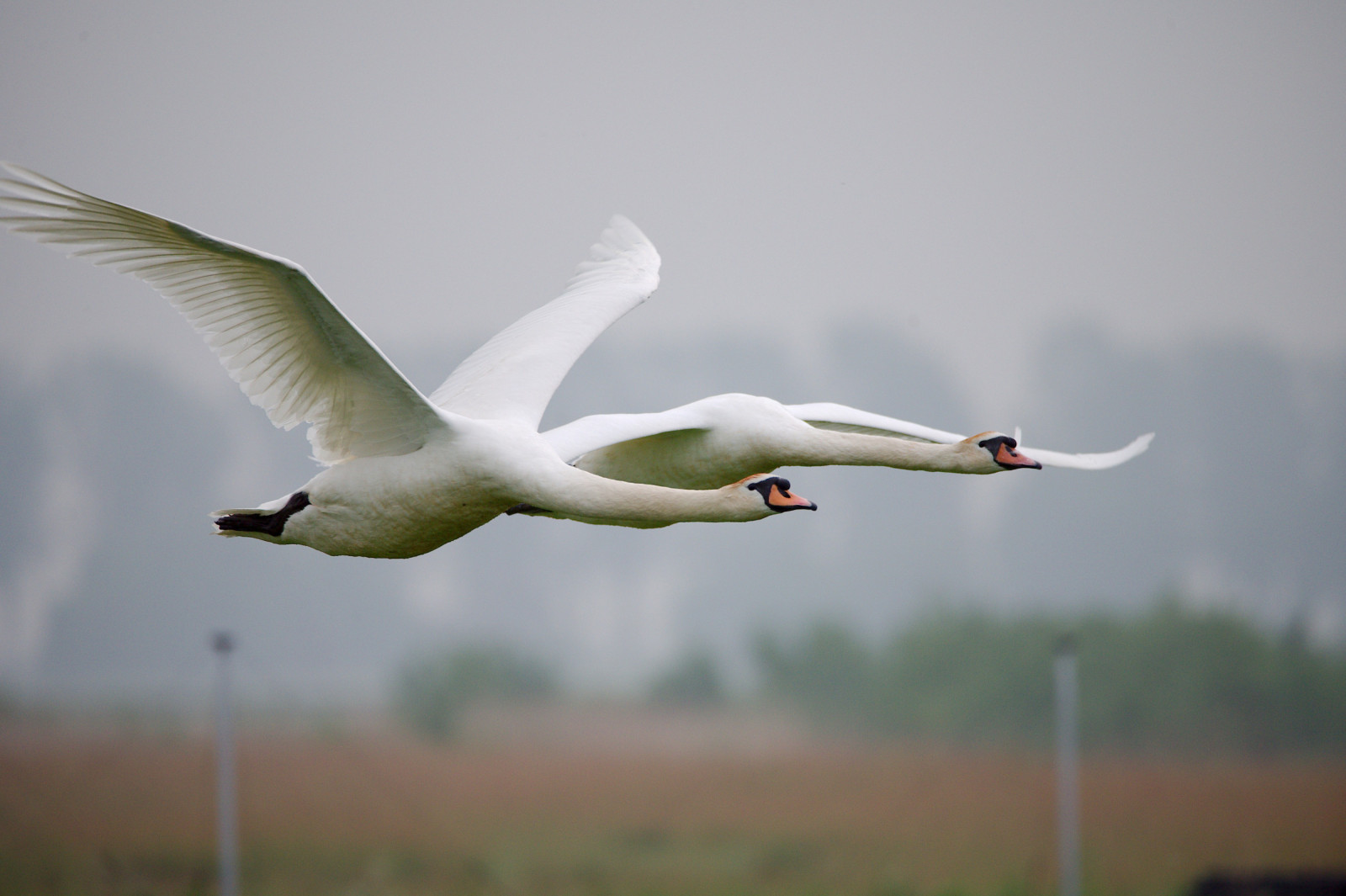
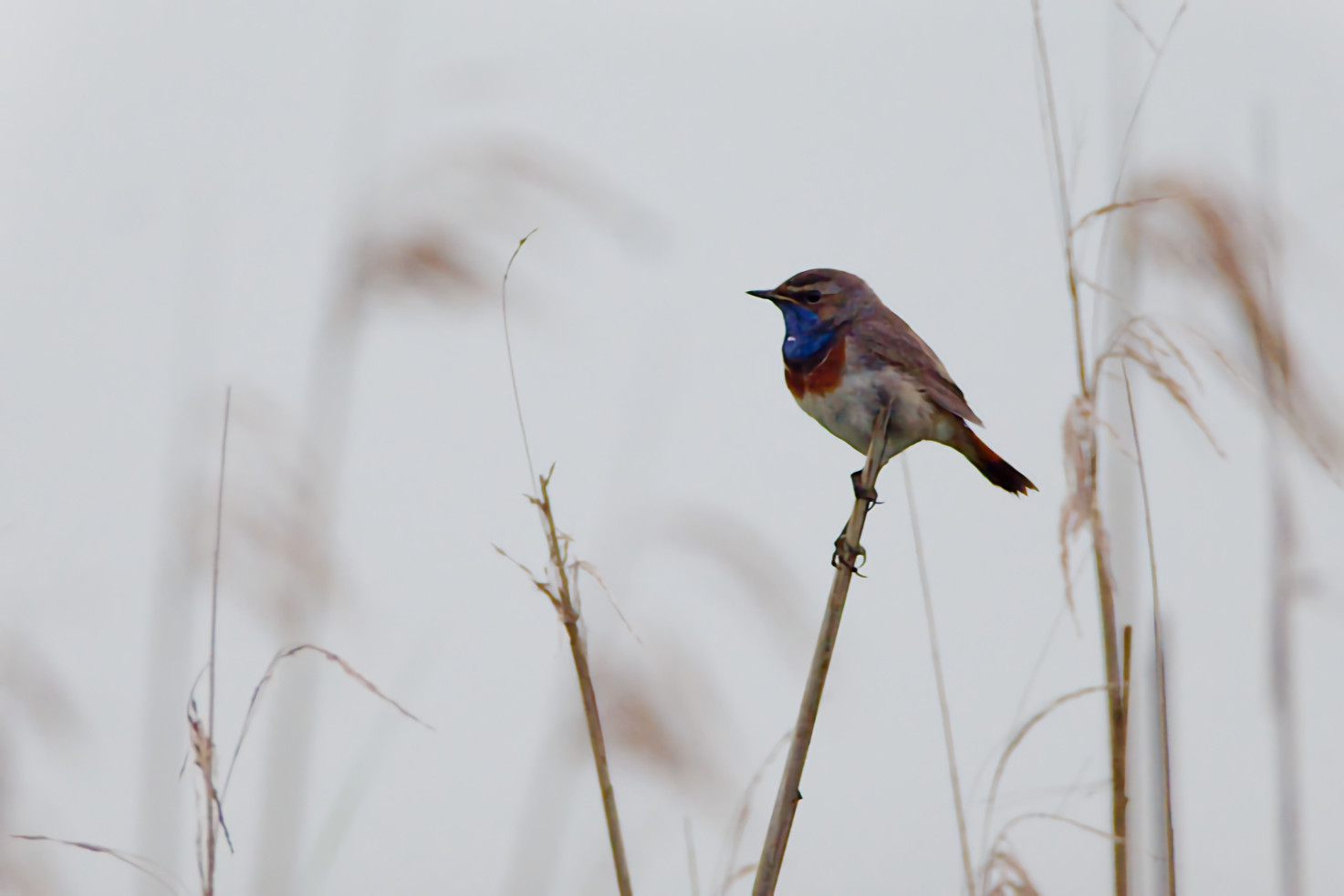
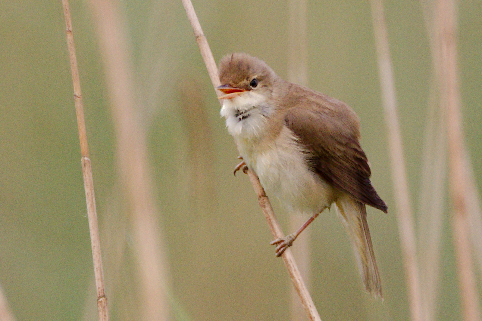
Uilenbroeken is part of LOFAR, an area created by the construction of a large radio telescope. Seepage water from the Hondsrug creates reed fields and meadows with puddle/marsh conditions here. The alternation of reed fields, puddles, waterways and wet meadows attracts many birds. Among the bird species that you can observe here are Blábrystingur, Seftittlingur, Síkjasöngvari, Sefþvari, Bláheiðir, Keldusvín, Engirella and various species of geese and ducks. For photography it is wise to visit the area early in the morning because of the position of the sun.
_________________________
Nederlands: Uilenbroeken is onderdeel van LOFAR, een gebied op de rand van de Hondsrug en de lager gelegen veenkolonieën onstaan door de aanleg van een grote radiotelescoop, waarvoor er geen verstoring van de radiosignalen mogen optreden. Kwelwater vanaf de Hondsrug zorgt hier voor rietvelden en weilanden met plas/dras omstandigheden. De afwisseling van rietvelden, plassen, watergangen en natte weilanden trekt veel vogels aan. Enkele soorten die je hier kunt tegenomen zijn Blábrystingur, Seftittlingur, Síkjasöngvari, Sefþvari, Bláheiðir, Keldusvín, Engirella en diverse soorten ganzen en eenden. Voor fotografie is het verstandig om het gebied 's morgens vroeg te bezoeken in verband met de stand van de zon.
Details
Access
Uilenbroeken is located between the villages of Buinen and Exloo. The area can be reached by car from Exloo or Buinen via the Exloërweg. The area is not accessible by public transport. Cycling along the Beeksdijk (between junctions 13 and 44). Press P on the map for directions to a parking lot. The circular walking route shown on the map from the parking lot is approximately 3.5 km.
_________________________
Nederlands: Uilenbroeken ligt tussen de dorpen Buinen en Exloo. Per auto te bereiken vanuit Exloo of Buinen via de Exloërweg. Het gebied is niet bereikbaar met openbaar vervoer. Fietsen langs de Beeksdijk (tussen knooppunt 13 en 44). Wandelen via knooppunten (ongeveer 3 km). Druk op P in de kaart voor een routebeschrijving naar een parkeerplaats. De wandelroute die op de kaart is weergegeven vanuit de parkeerplaats is ongeveer 3,5 km.


 ) to insert bird names in your own language. The birdnames will automatically be translated for other users!