Description
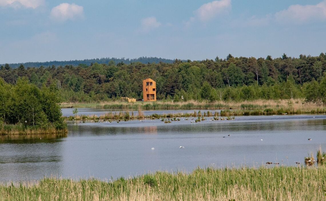
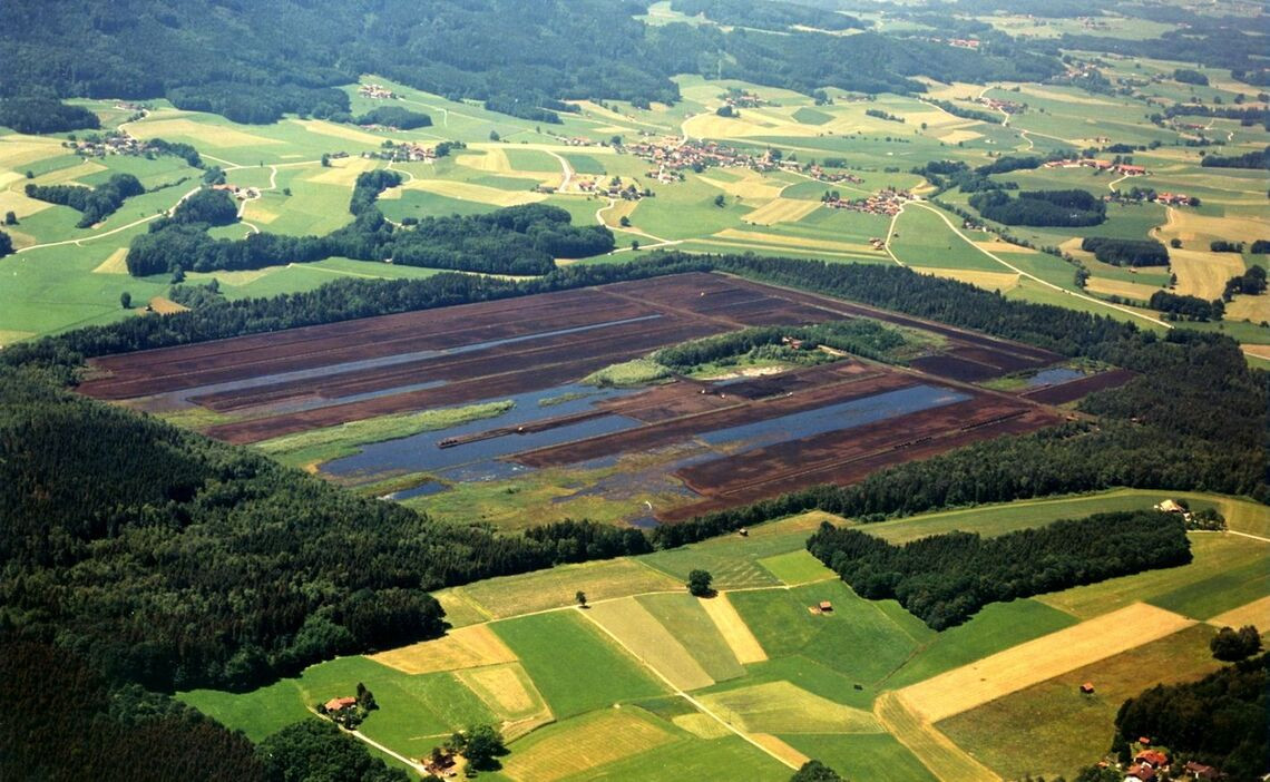
The Ainringer Moos has its origins in the last ice age around 12,000 years ago. Dead parts of plants formed peat layer by layer. Peat mining began at the beginning of the 19th century. Renaturation began in the 1990s and the area was waterlogged again by closing the drainage ditches. Reed zones and bushy areas with birch trees formed. A circular moorland trail with a viewing tower was created.
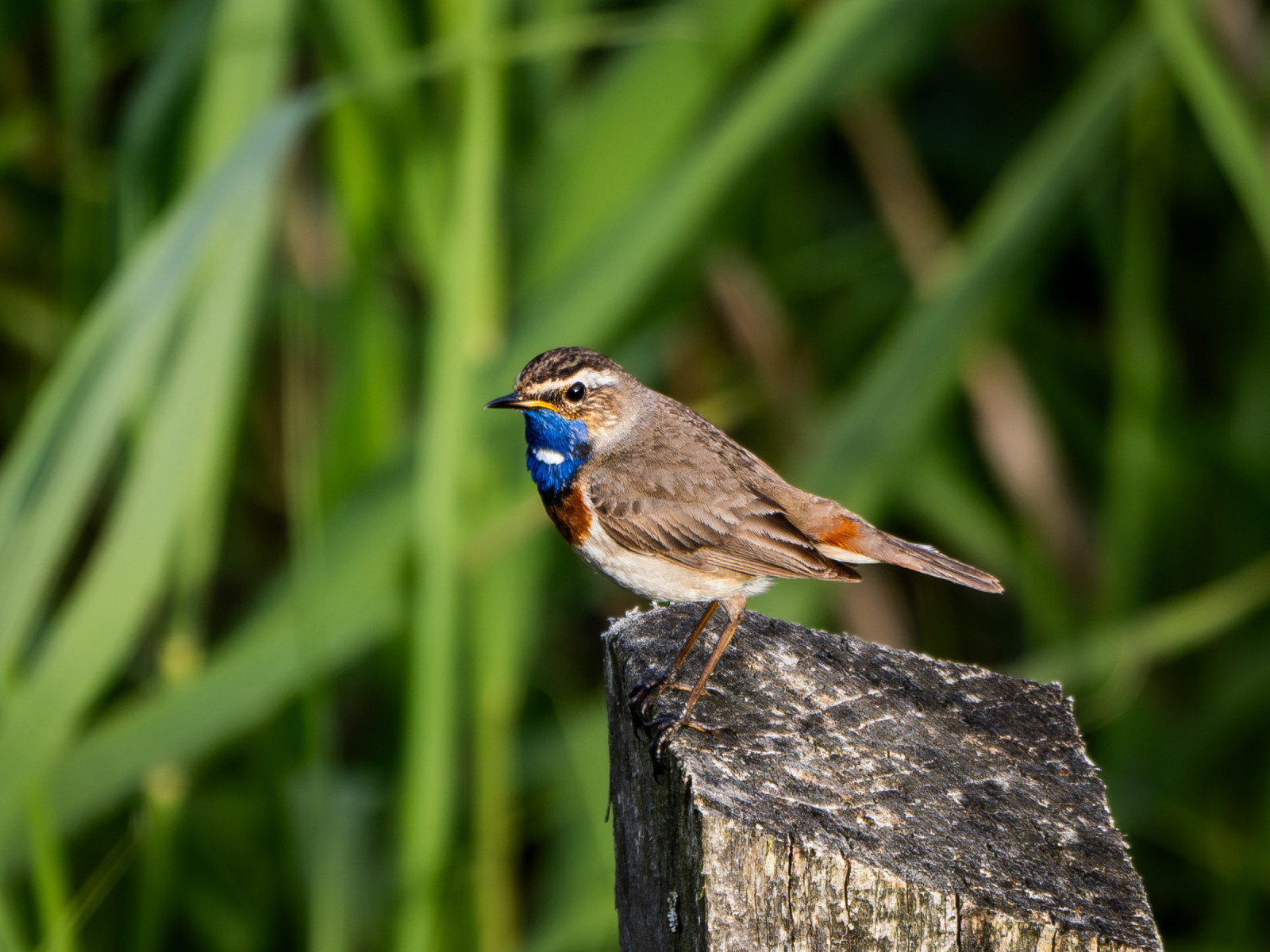
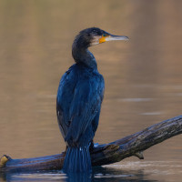
The Ainringer Moos is an important stopover for many migratory birds and an important breeding habitat for numerous bird species. These include waders, herons, ducks and geese. Among the birds you can encounter are Mjallhegri, Dverggoði, Toppgoði, Vepja, Lyngstelkur, Dílaskarfur, Gaukur, Turtildúfa, Blábrystingur, Toppmeisa, Gultittlingur, Taumönd and Brúnheiðir.
Details
Access
The Ainringer Moos is located west of the village of Ainring. The area can be reached via several roads. Parking is available at the Ainring swimming pool, Schwimmbadstraße 13, 83404 Ainring and at the old peat station in Mühlreit on the B 304. Click on a P in the map for directions. The circular walking route indicated on the map is about 4 km. If you do a circular walk from the Ainring swimming pool parking it is about 7,5 km.


 ) to insert bird names in your own language. The birdnames will automatically be translated for other users!