Description
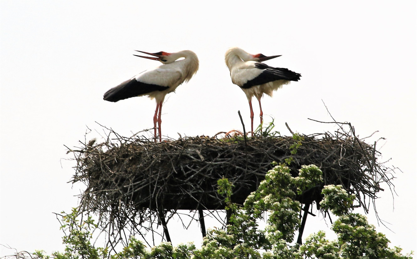
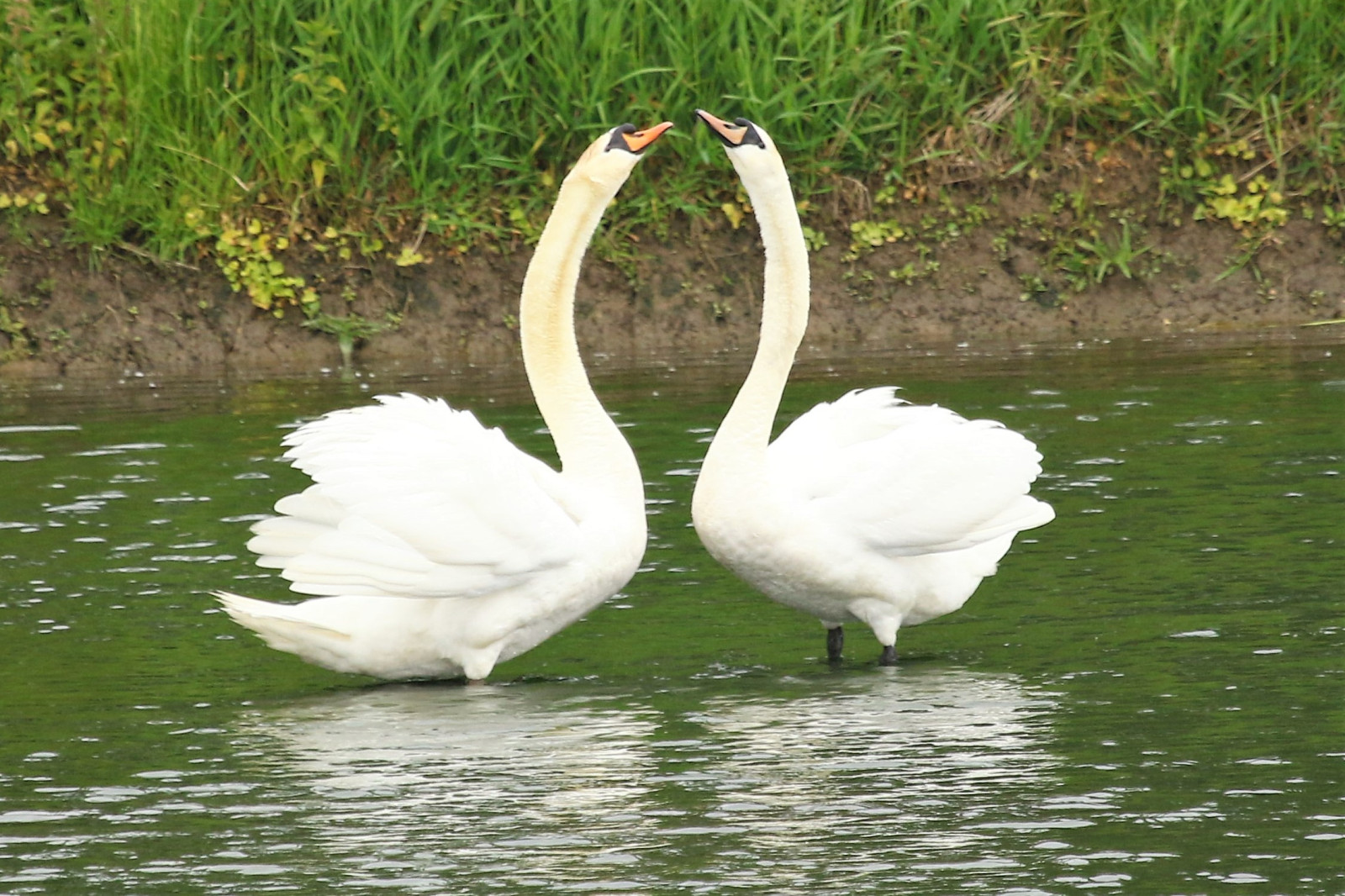
The Velperwaarden are floodplains that are flooded by the river IJssel at high tide. The area is sandwiched between highways, a business park and the river. The nature reserve is a breeding ground for many birds. In the area birds such as Vivak, Crnorepa Muljača and Veliki Pozviždač. To protect the chicks, the grass is not mowed until late in the season. In the hawthorn and blackthorn hedges you will find Grmuša Pjenica and Sivi Popić. Other birds you may see in the area include Sjevernomorska guska, Crvenokljuni Labud, Zlatokrila utva, Utva, Oštrigar, Crvenokljuna Čigra, Bijela roda, Kulik Sljepčić, Vjetruša en Juričica.
_________________________
Nederlands: De Velperwaarden zijn uiterwaarden die bij hoog water door de IJssel in bezit worden genomen. Het gebied heeft heeft weilanden met plas-dras en agrarisch natuurbeheer. Het ligt ingeklemd tussen snelwegen, een bedrijventerrein en de IJssel. Het natuurgebied is een broedplaats voor veel vogels. In het gebied broeden vogels als Vivak, Crnorepa Muljača en Veliki Pozviždač. Om de kuikens te beschermen maait Natuurmonumenten pas laat in het seizoen het gras. In de meidoorn- en sleedoornhagen vind je Grmuša Pjenica en Sivi Popić. Andere vogels die je in het gebied kunt zien zijn onder meer Sjevernomorska guska, Crvenokljuni Labud, Zlatokrila utva, Utva, Oštrigar, Crvenokljuna Čigra, Bijela roda, Kulik Sljepčić, Vjetruša en Juričica.
Details
Access
The Velperwaarden are located near Velp east of Arnhem. A12 A348 exit Velp. Parking at pumping station. Click on the P in the map for directions. There is a cycle path and footpath and a 4 km walking route runs through the area. This route is marked on the map.
_________________________
Nederlands: De Velperwaarden liggen bij Velp ten oosten van Arnhem. A12 A348 afslag Velp richting uiterwaard. Parkeren bij gemaal. Klik op de P in de kaart voor een routebeschrijving. Er is een fietspad en voetpad en er loopt een struinroute van 4 km door het gebied. Deze route is op de kaart aangegeven.


 ) to insert bird names in your own language. The birdnames will automatically be translated for other users!