Description
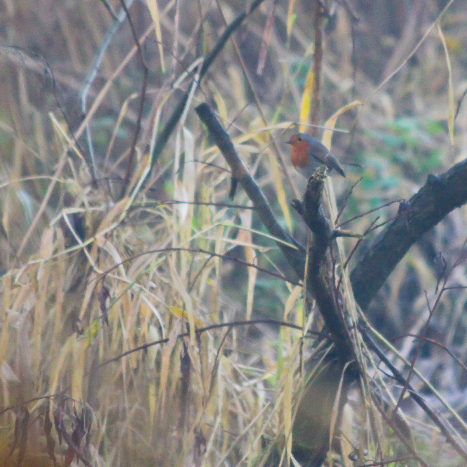
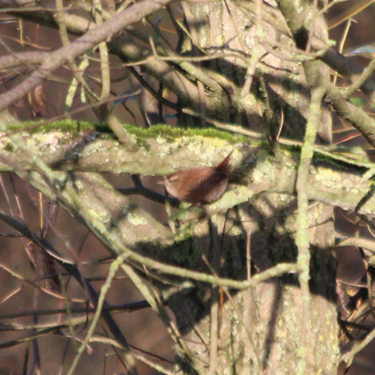
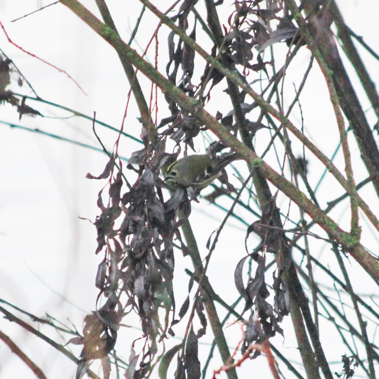
Just like its big brother National Park The Biesbosch, the Oeverlanden Hollands Diep area is also a freshwater tidal area. Here you will find unspoiled nature, with rough reed lands, open water, channels and creeks, nature outside the dykes and willow forests. And with ebb and flow, which is rare in fresh water. Particularly on the Oeverlanden Hollands Diep are the long-run 'grienden': moist fields where willows are grown. Until the mid-1960s, plenty of willow wood was harvested. After 1965, cultivation turned out to be unprofitable and the grienden became wild. After almost fifty years, the grienden have grown into an upright willow forest with a lot of dead wood. You can see Šumska sova, Jastreb, Veliki Djetlić, Brgljez and many waterbirds and waders in the area.
_________________________
Nederlands: Net als zijn grote broer de Biesbosch, is ook het gebied Oeverlanden Hollands Diep een zoetwatergetijdegebied. De oeverlanden strekken zich uit in het zuidoosten van Zuid-Holland, van Numansdorp tot Strijensas. Hier vind je ongerepte natuur, met verruigde rietlanden, open water, geulen en kreken, buitendijkse natuur en wilgenbossen. En met eb en vloed dus, wat zeldzaam is op zoet water. Bijzonder aan de Oeverlanden Hollands Diep zijn de doorgeschoten grienden: vochtige akkers waar wilgen worden verbouwd. Tot halverwege de jaren zestig van de vorige eeuw werd er volop griendhout geoogst. Na 1965 bleek de teelt niet meer rendabel en verwilderden de grienden. Op de Esscheplaat staan twee oude griendketen die herinneren aan de periode dat de grienden nog werden gehakt. De grienden zijn na bijna vijftig jaar doorgeschoten tot opgaand wilgenbos met veel dood hout. Voor bosuilen, een havik, grote bonte spechten en boomklevers is het er goed toeven.
Details
Access
There are good hiking trails and much of the area is also accessible off the trails. The cycle path along the outer dike is part of the cycle route network in Hoekse Waard. A walking route starts from the parking lot on the Buitendijk west (see the P on the map) of Strijensas, which leads, among other things, past the De Motte observation tower.
_________________________
Nederlands: Er zijn goede wandelpaden en in een groot deel van het gebied kun je ook buiten de paden struinen. Het fietspad langs de buitendijk maakt onderdeel uit van het fietsroutenetwerk in de Hoekse Waard. Vanaf de parkeerplaats aan de Buitendijk ten westen van Strijensas start een wandelroute, die o.a. langs uitkijktoren De Motte leidt. Je kunt een mooie rondwandeling maken van ongeveer 1,5 uur maken. Daarbij moet je onderweg wel een trekpontje gebruiken.


.jpg)

 ) to insert bird names in your own language. The birdnames will automatically be translated for other users!