Description
The Vorspessartseen is a group of lakes that were formed from disused brown coal, sand, and gravel pits and have been transformed into a popular recreational area. One of the lakes in this system is the Hörsteiner See, which is the largest lake in the Unterfranken region. The area is known for its high water quality.
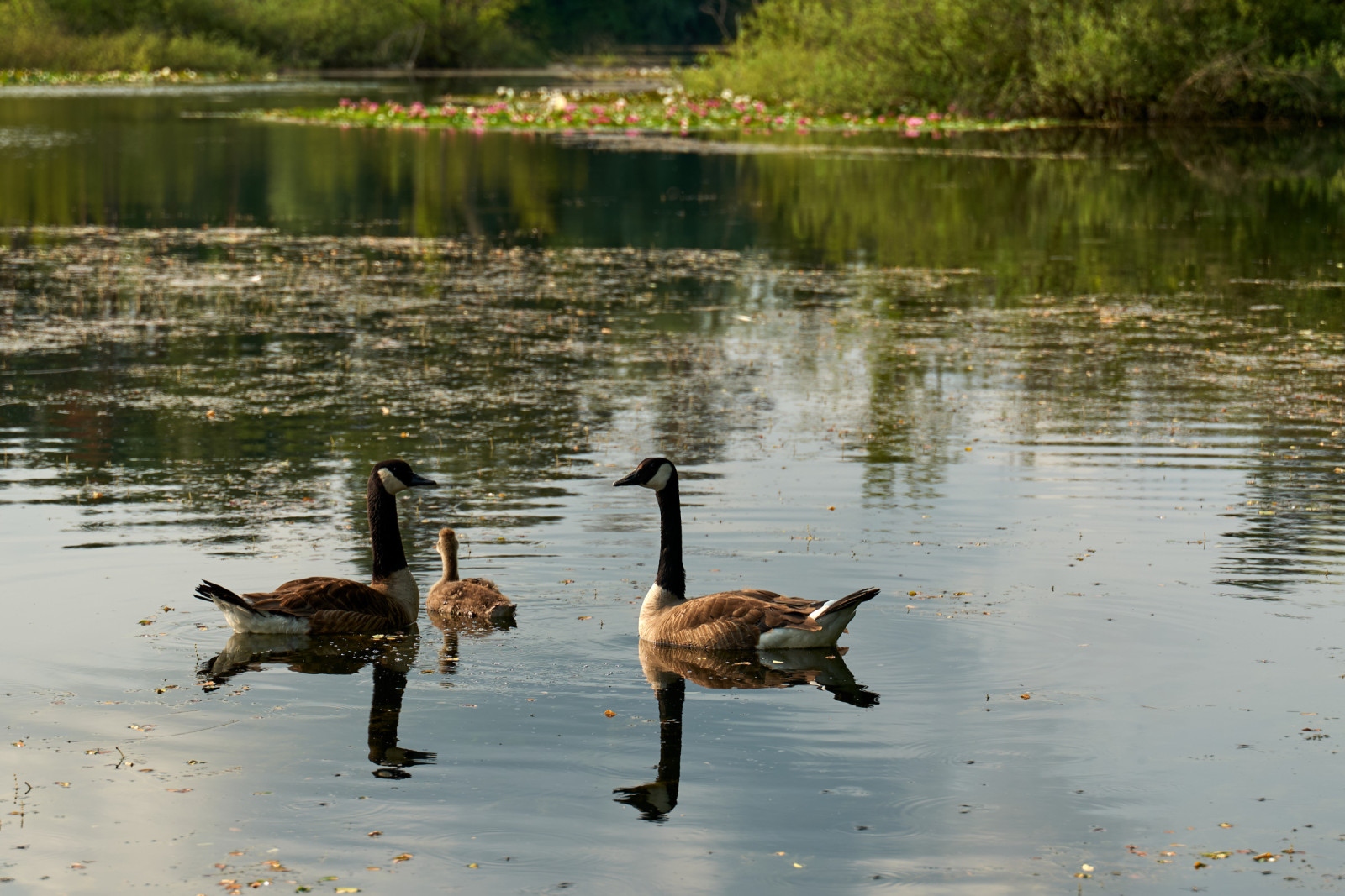
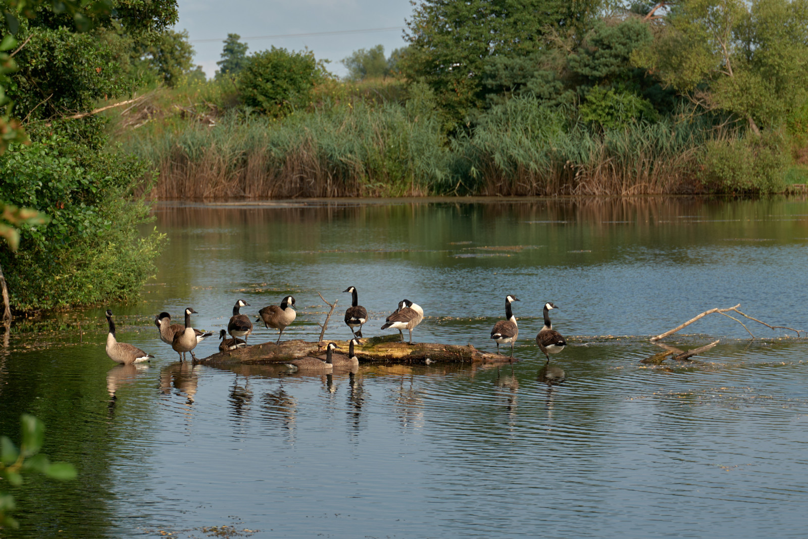
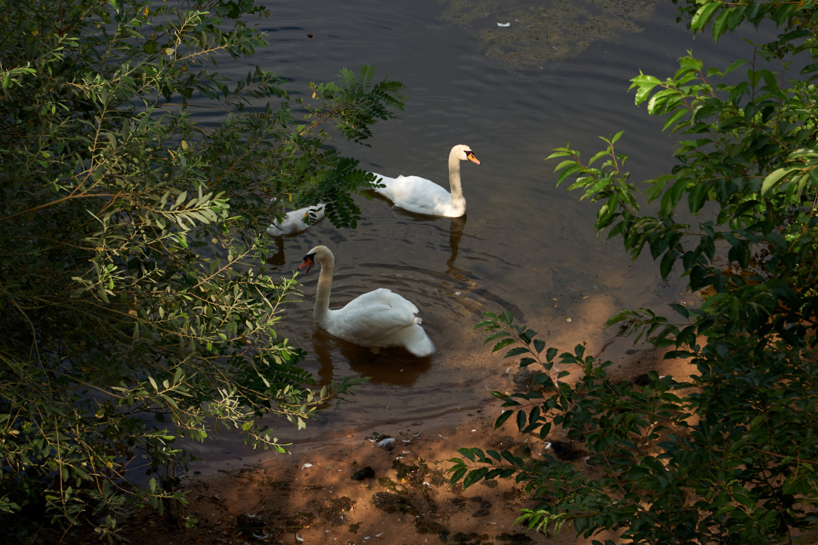
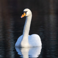
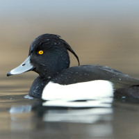
The lakes provide habitats for bird species such as Kanadska guska, Crvenokljuni Labud, Patka Kreketaljka, Krunata Patka, Ćubasti Gnjurac, Crvena lunja, Veliki Vranac and Patka Batoglavica.
Details
Access
The Vorspessartseen is a group of lakes located east of the town of Kahl am Main. There are parking spaces on the outskirts of Kahl. Press a P on the map for directions. The area is quite extensive and can be reached in part via marked hiking trails. The circular route indicated on the map is about 4 km.


 ) to insert bird names in your own language. The birdnames will automatically be translated for other users!