

.jpg)
Charger images
Les formats d'image autorisés sont de type jpeg, png ou gif
La taille maximale du fichier doit être de 20MB
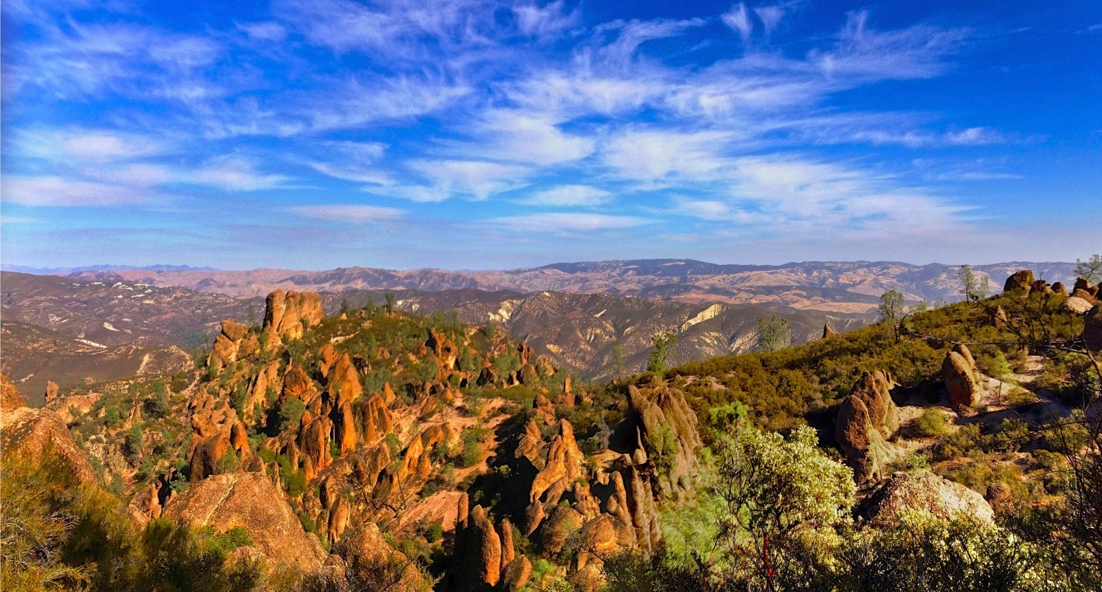
Beautiful National Park with unconnected entrances at two sides. A good place for observing the California Condor.
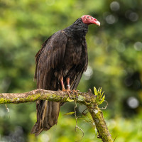
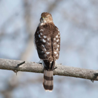
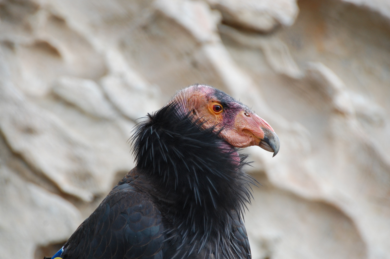
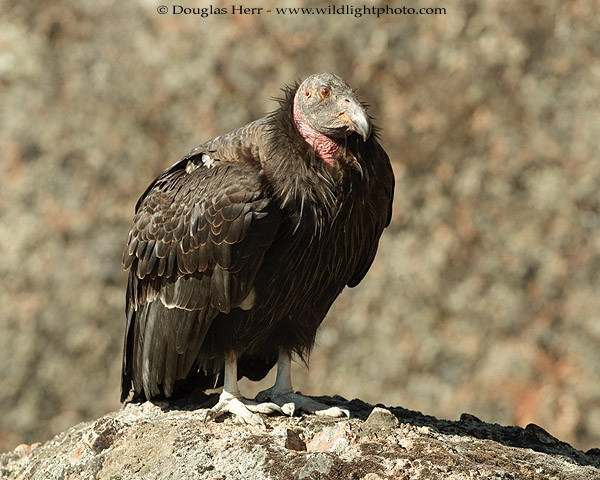
Some 23 million years ago multiple volcanoes erupted, flowed, and slid to form what would become Pinnacles National Park. What remains is a unique landscape with chaparral, oak woodlands and canyon bottoms. The towering rock spires are teeming with life and you can see birds such as Peregrine Falcon, Great Horned Owl, Golden Eagle, Wild Turkey, California Quail and the inspiring California Condor, one of the most endangered species in the world, with only about 300 in the wild today.
Pinnacles National Park participates in the California Condor Recovery Program. In the spring of 2010, a condor was born in the park for the first time in years. There are now about 40 California Condor living in and around the park. The best place to see a condor is on the High Peaks Trail.
East or west entrance of Pinnacles National Park. When driving to Pinnacles National Park, please keep in mind that there is no road that connects the east and west entrances of the park. The shortest route from the east entrance to the west entrance (or from west to east) is through the town of King City on Hwy 101. There are several parking lots and hikes to the top of the mountains. Click on a P in the map for directions or coordinates. East Side: 24 hour access to trails. No overnight parking outside of campground area. West Side: Entry gate is open from 7:30 am to 8:00 pm. Day-use only. Vehicle Entrance Fee - $30.00. Walk-in or Bicycle Entrance Fee - $15.00.
From the San Francisco Bay Area to the East Entrance: Take Hwy 101 south through the city of Gilroy to Hwy 25 south. On Hwy 25. Go through the town of Hollister and continue about 30 miles to Hwy 146. Turn right on Hwy 146. Turn left into the Pinnacles Campground to check in at the Pinnacles Visitor Center. From the campground, the Bear Gulch Area is 3.5 miles further into the park along Hwy 146.
From the San Francisco Bay Area to the West Entrance: Take Hwy 101 South to the town of Soledad. Take Hwy 146 East. Be aware that the highway turns into a one lane road, drive with caution. Follow Hwy 146 for 14 miles into Pinnacles National Park.
Photo Pinnacles National Park by Samartur, CC BY-SA 3.0 <https://creativecommons.org/licenses/by-sa/3.0>, via Wikimedia Commons
Photo California Condor by Joe Lewis, CC BY-SA 2.0 <https://creativecommons.org/licenses/by-sa/2.0>, via Wikimedia Commons.
 ) Insérez les noms d'oiseau dans votre langue. Ils seront automatiquement traduits pour les autres usagers !
Votre feedback sera transmis à l’auteur.rice de cette zone et à l’équipe éditoriale de Birdingplaces, qui l’utiliseront pour améliorer la qualité des informations. (Vous souhaitez publier un commentaire visible en bas de page ? Fermez cette fenêtre et choisissez l’Option 1 : « Publier un commentaire, un conseil ou une observation ».)
Veuillez fournir des suggestions d'améliorations ou d'ajouts au texte de ce site ornithologique.
Veuillez fournir vos suggestions d'améliorations ou d'ajouts à la carte.
Veuillez fournir des suggestions d'améliorations ou d'ajouts à la liste des oiseaux.
Cliquez sur l'icône de l'oiseau () Insérez les noms d'oiseau dans votre langue. Ils seront automatiquement traduits pour les autres usagers !