


Charger images
Les formats d'image autorisés sont de type jpeg, png ou gif
La taille maximale du fichier doit être de 20MB
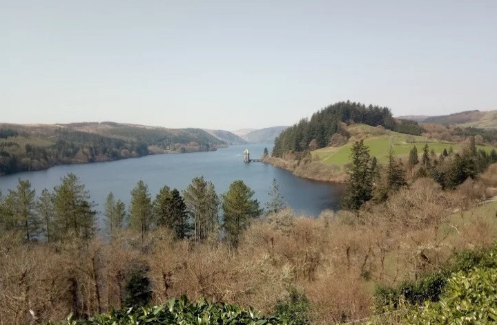

This reservoir was built in the 1880s to supply water to Liverpool. It is bordered by an RSPB reserve. There is a hide, feeders and shop.
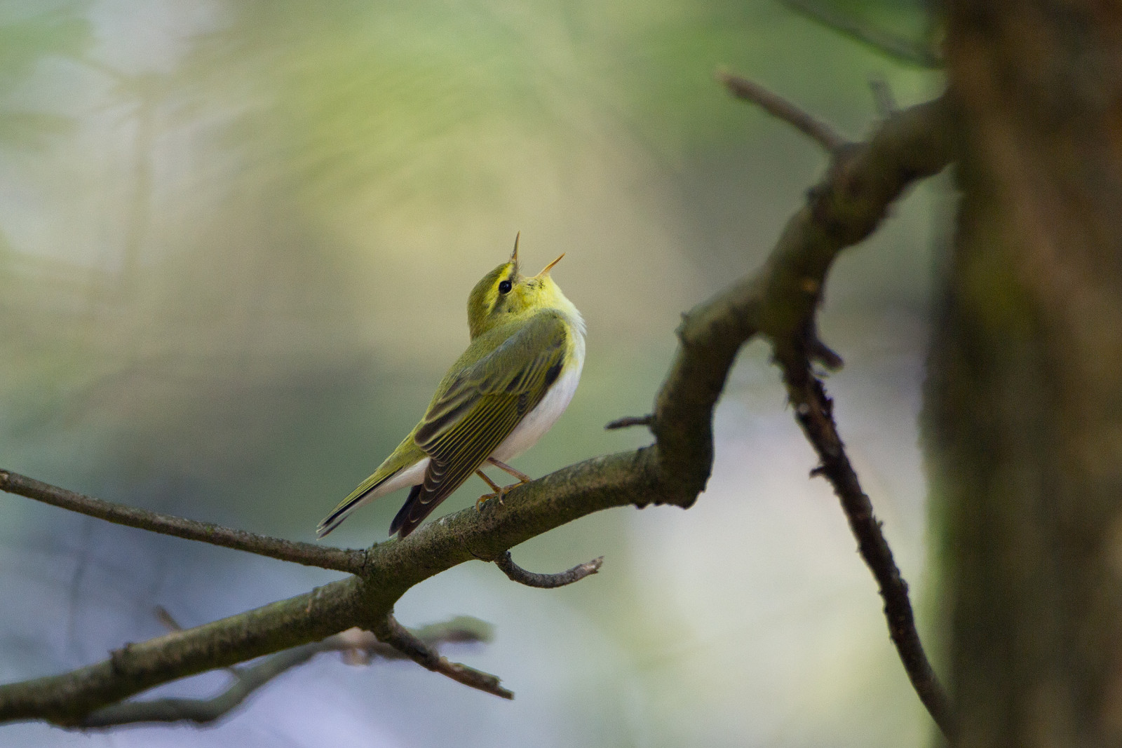
The Lake Vyrnwy Nature Reserve and Estate that is adjacent to the lake is a Site of Special Scientific Interest, a Special Protection Area, and a Special Area of Conservation. Dramatic scenery with streams harbouring Cincle plongeur and Bergeronnette des ruisseaux. Gobemouche noir, Rougequeue à front blanc and Pouillot siffleur in the forests, Grèbe huppé, migrant Balbuzard pêcheur and Harle bièvre on the lake, Tarin des aulnes, Mésange noire and wintering Pinson du Nord on the feeders. Lagopède d'Écosse, Faucon émerillon and Hibou des marais on the moors. Circuit of reservoir by car or bicycle is 12 miles.
Midway between the towns of Dolgellau, Oswestry and Welshpool. Take minor roads as directed from A5 or A458. Click on the P in the map to get directions. Expect steep, winding and narrow.
Leaving from from the visitor centre there are two marked walks. Yellow trail: This 1 mile/1.6 km circular stroll takes you alongside the riverbank and meandering through sessile oak woodland. Blue trail (shown on the map below): A 3 mile/4.8 km circular walk along forest tracks and lanes with two fairly strenuous climbs and one steep descent. As you descend, you have a spectacular view overlooking the lake.
On the west side of the lake you find the Red trail: A 6 mile/9.6 km circular walk along forest tracks and through clearings. This steady climb with a steep descent at the end to the road will take you through conifer and birch trees. And on the northeast side of the lake you find the Purple trail: A 5 mile/8 km circular walk along forest tracks and roads with a gentle incline and great views. On the north side of the lake you find the Green trail: A 2 mile/3.2 km circular path following the river and leading to the waterfall of Rhiwargor. No steep hills but you will need to cross the stream using stepping stones.
 ) Insérez les noms d'oiseau dans votre langue. Ils seront automatiquement traduits pour les autres usagers !
Votre feedback sera transmis à l’auteur.rice de cette zone et à l’équipe éditoriale de Birdingplaces, qui l’utiliseront pour améliorer la qualité des informations. (Vous souhaitez publier un commentaire visible en bas de page ? Fermez cette fenêtre et choisissez l’Option 1 : « Publier un commentaire, un conseil ou une observation ».)
Veuillez fournir des suggestions d'améliorations ou d'ajouts au texte de ce site ornithologique.
Veuillez fournir vos suggestions d'améliorations ou d'ajouts à la carte.
Veuillez fournir des suggestions d'améliorations ou d'ajouts à la liste des oiseaux.
Cliquez sur l'icône de l'oiseau () Insérez les noms d'oiseau dans votre langue. Ils seront automatiquement traduits pour les autres usagers !